-

Standardised Precipitation Index (SPI)
The Standardised Precipitation Index (SPI) is a simple measure of drought (and also of very wet conditions) and is based solely on the accumulated precipitation for a given time period. -
Analysis of water quality trends
NIWA has developed a powerful software tool for the analysis of water quality data. -
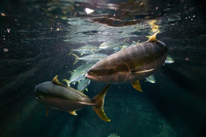
Scientists set to delve into the secrets of the Cook Strait mega-canyon
News article06 June 2017 -
Software tools
NIWA develops and supplies custom software for environmental analysis and modelling. -
Map North
Education ResourceThis is a sub-tropical climate zone, with warm humid summers and mild winters. -
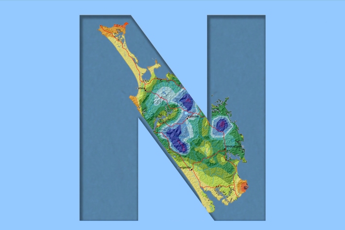
Northland
Northland, with its northern location, low elevation and close proximity to the sea is characterised by a mild, humid, and rather windy climate. -
Water take
Water take (also known as water abstraction) has a range of valuable public and private uses. -

When fresh water meets salty water
When fresh water meets salty water - a classroom exercise that explores the physics of estuaries. -
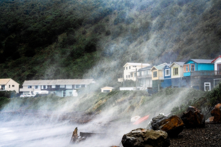
Coastal storm inundation
Education ResourceNew Zealand has low-lying coastal areas that are vulnerable to inundation (flooding) by the sea.