-
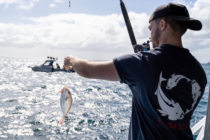
New research indicates careful fish handling helps support sustainable fisheries
News article14 December 2022Initial data suggests careful handling of released snapper could help fishers save thousands of fish annually. -
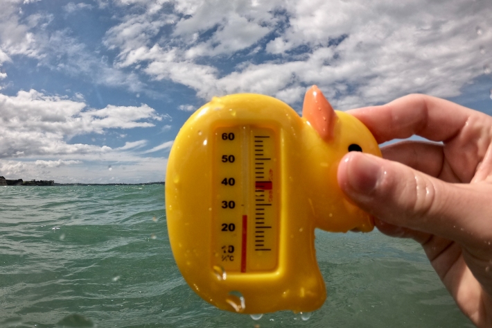
Marine heatwave developing
Media release01 December 2022Coastal waters around Aotearoa New Zealand became unusually warm last month, say NIWA. -
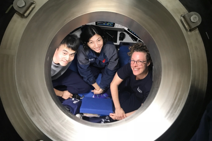
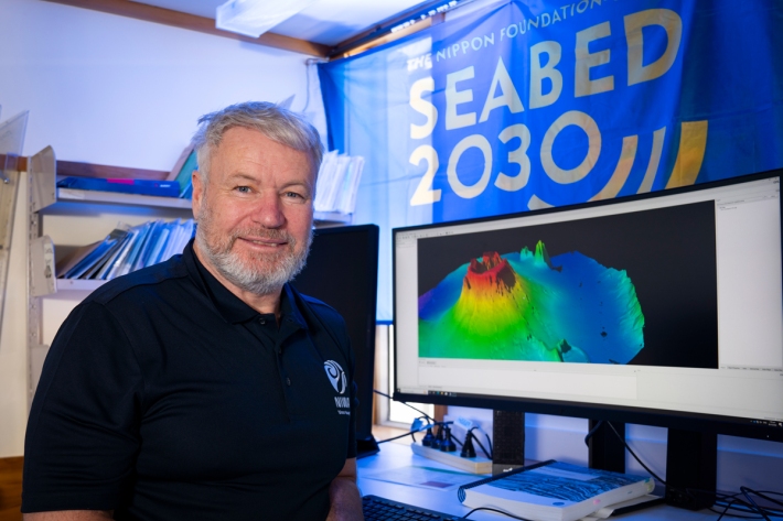
Chinese and New Zealand Scientists dive to one of the ocean's deepest regions
Media release27 November 2022Scholl Deep is the deepest known point of the Kermadec Trench, which lies to the north of New Zealand. -
Tonga eruption confirmed as largest ever recorded
Media release21 November 2022A New Zealand-led team has completed the fullest investigation to date into January’s eruption of the underwater Tongan volcano. -
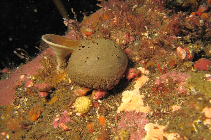
Discovery of over a dozen new sponge species
Media release10 November 2022In the latest NIWA Biodiversity Memoir, researchers examined and registered over 250 sponge specimens in the family Latrunculiidae, discovering 14 new species and 1 new fossil species. -
Beloved Barnacles
An interactive guide to the barnacles of New Zealand. -
Climate change experts tour New Zealand’s coastal wetlands
Media release03 November 2022A group of international scientists are visiting some of New Zealand’s most significant coastal wetlands as part of a five-year research project to help the country adapt and prepare for sea-level rise. -
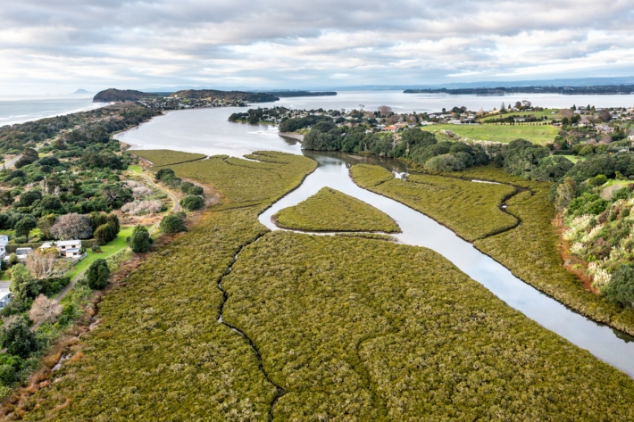
Understanding the threat of sea level rise to NZ’s wetlands
Media release07 October 2022Specialised monitoring equipment has been installed in Bay of Plenty estuaries to understand whether our coastal wetlands can survive the threat of inevitable sea-level rise. -
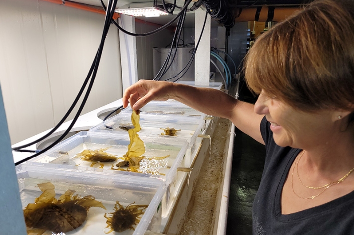
Seaweed research and services
ServiceNIWA has world-class expertise in marine macroalgae and extensive research on various aspects of seaweed ecology, growth and taxonomy. -

Ocean services
ServiceHow can we help you? -
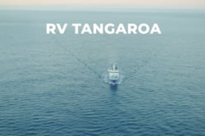
RV Tangaroa: New Zealand’s world-class research vessel
NIWA proudly owns and operates RV Tangaroa, a 70 m Ice Class scientific platform.