NIWA has established a network of high elevation electronic weather stations to provide a solid basis to understand seasonal patterns and long-term changes to seasonal snow and ice in alpine regions of New Zealand.
These sites are known as the NIWA Snow and Ice Network (SIN).
The SIN sites are located throughout the alpine regions of New Zealand and collect information on snowfall, snow storage and snow melt as well as alpine climate.
Seasonal snow and ice dynamics affect alpine hazards, recreation, tourism, stream ecology, hydro-electric generation, and water abstraction.
Along with model simulations and remotely sensed images of snow, SIN information is essential to understand, predict, and manage the snow resources and hazards across New Zealand.
As well as climate information, each SIN site measures snow depth, while 6 sites additionally collect information on the total water content of the snowpack (frozen and liquid), otherwise known as snow water equivalent (SWE).
Information on current snow depth relative to historical records is provided for the following key sites. Note that the plots are updated weekly from raw data that has not undergone any manual quality assurance / quality control.
| Mt Philistine | Mahanga |
| Ivory Glacier | Upper Rakaia |
| Mueller Hut | Mt Potts |
| Albert Burn | Castle Mount |
| Murchison Mountains | Mt Larkins |
The approach
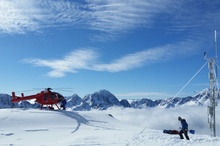
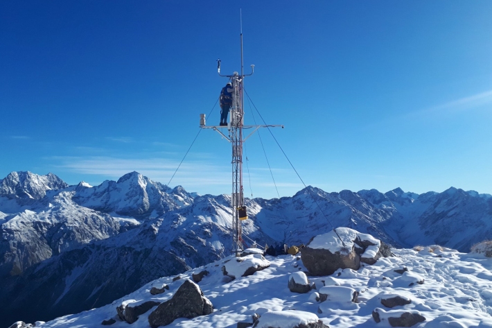
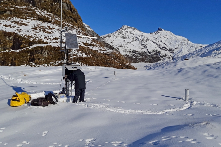
This project supports the semi-continuous analysis and quality control of the snow information from SIN sites. Raw information is available at each site in near-real time and a weekly semi-automated quality control is carried out during the winter. At the end of the snow season, the snow information undergoes a formal quality control process. Climate information is archived in the New Zealand climate database (CLidB) and snow information is archived in the National hydrology archives ensuring information is accessible for future use. To access the data please get in touch with one of the key contacts below.
End users
The work carried out in this project serves a range of users including the Mountain Safety Council avalanche advisory, Department of Conservation National Parks weather service, seasonal river flow outlook, hydro-electricity generators, land managers, local authorities and researchers in New Zealand and the world. The SIN network provides them with the information to better understand and plan for water use, river flood hazard, recreational hazards (e.g. avalanches).
The remote location of the SIN stations also provides a unique opportunity to New Zealand research community to develop benchmarking testing sites for modelled and remotely sensed snow products. Each site was selected to represent a specific weather pattern in New Zealand.
The project is funded through the Strategic Science Investment Fund from the Ministry of Business, Innovation and Employment. It supports work currently carried out as part of: New Zealand's international obligation through the World Meteorological Organisation (WMO) such as Global Cryosphere Watch (GCW) or the Solid Precipitation Intercomparison Experiment (SPICE); national projects such as the Deep South National Science Challenge - Impact and Implication Programme - Frozen water and Hydrology projects, and NIWA-led project the New Zealand Water Model - Hydrology; downstream impact of climate change project; near real time state of the snow resource; development of river flow forecasting tools, as well as verification of NIWA Numerical Weather Prediction models at high elevation.
Citizen science observations of snow
Information collected through this project is complemented by citizen science observations of snow depth. For details of how to participate or download the app visit How deep is the snow at your place?
-
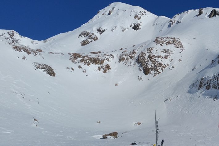
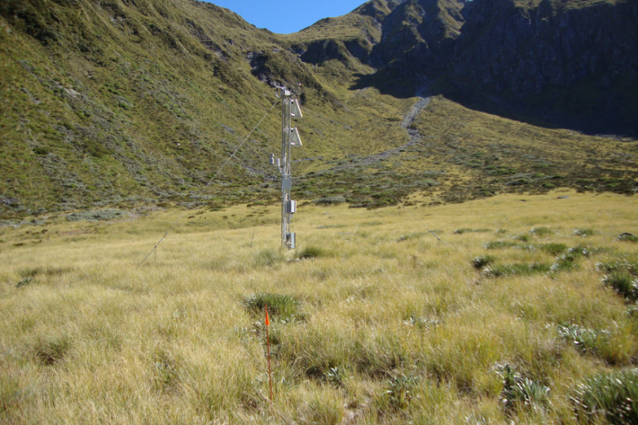
Mount Philistine electronic weather station (EWS)
The Mount Philistine site is located at 1655m elevation on the Main Divide near Arthurs Pass and Rolleston Glacier. It is a high precipitation area and snow records here start in 2010. -
Mahanga electronic weather station (EWS)
Mahanga electronic weather station (EWS) is on Mount Mahanga in Tasman. It is at 1940 m elevation near the Nelson Lakes. It's our most northerly South Island site and our snow records here date back to 2009. -
Ivory Glacier - compact weather station (CWS)
The Ivory Glacier SIN site is located at 1390 m next to Ivory Lake, west of the main divide of the Southern Alps/ Kā Tiritiri Te Moana. -
Upper Rakaia electronic weather station (EWS)
The Upper Rakaia SIN site is located at 1752 m on a north facing slope in the Jollie Range. Records start in 2010. -
Mueller Hut electronic weather station (EWS)
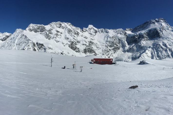
Mueller Hut electronic weather station is at 1818m elevation and located in Mount Cook/Aoraki National Park. This site also measures solic precipitation and solar radiation. This is the deepest (~3m) of all the snow and ice network sites and records at this site start from 2010. -
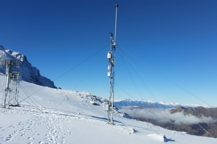
Mt Potts electronic weather station (EWS)
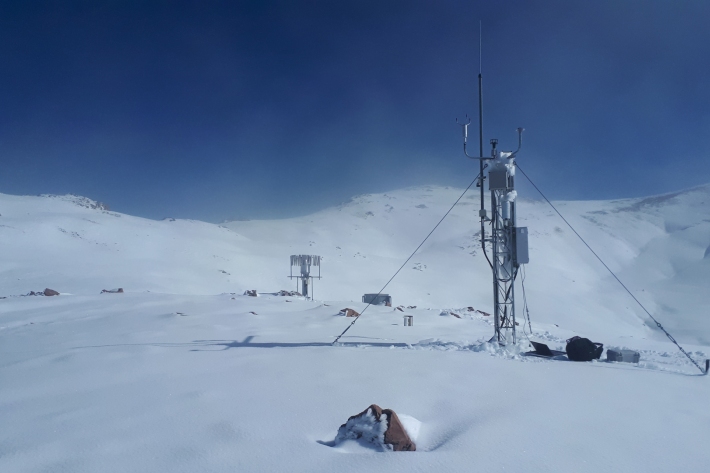
Our highest elevation site at 2128 m, Mt Potts is also one our sites very exposed to wind. -
Albert Burn electronic weather station (EWS)
The Albert Burn SIN site is located at 1280 m in the upper Albert Burn valley, east of Mt Aspiring/Tititea. Records start in 2012. -
Castle Mount electronic weather station (EWS)
Castle Mount electronic weather station is at 2000 m elevation on an exposed site above the Milford Track. Records here begin in 2012. Strong winds limit snow accumulation during the winter. -
Murchison Mountains electronic weather station (EWS)
The Murchison mountains SIN station is located at 1140 m elevation in Fiordland National Park. Because of the low elevation, snow often comes and goes throughout the winter season. Snow records start in 2012. -
Mount Larkins electronic weather station (EWS)
The Mount Larkins electronic weather station is located east of the main divide near Glenorchy and Lake Wakatipu at 1900m elevation.