-

Data with a bloody past has positive spin-off for endangered whale species
News article29 April 2013 -
Moana - My Ocean
A team of scientists from NIWA and four other organisations are taking part in the Three Kings Islands Marine Expedition, recording the diversity of the marine life around these remote New Zealand islands. -
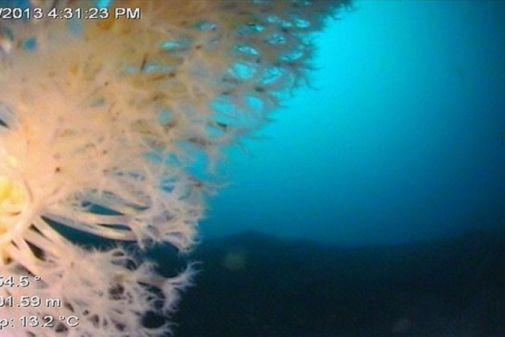
Fiordland’s depths reveal more new-to-science wonders
News article02 April 2013 -
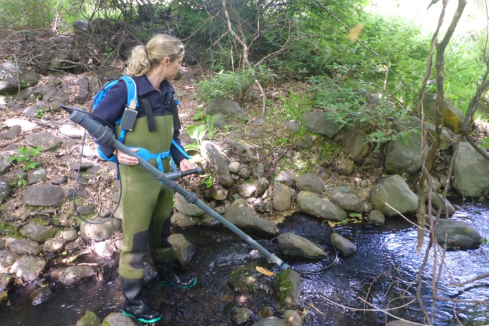
PIT tagger
Passive Integrated Transponders (PIT) are used to tag fish (or any animal) for life. -
Summer Series 7: Little squirts that hang out around the coast
News article12 February 2013 -
NIWA's RV Tangaroa sets sail to study how Antarctica affects ocean currents
News article30 January 2013A 42-day voyage to the Mertz Polynya region of Antarctica. -

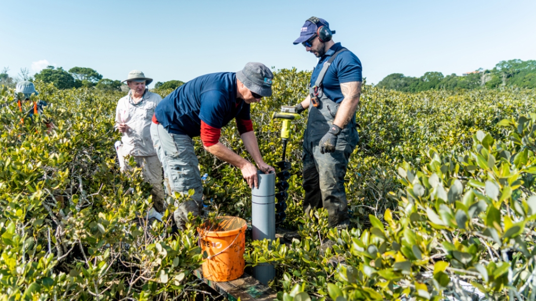
Tidal creeks – connections between freshwater and saltwater
Research ProjectAn experiment in Henderson Creek, Auckland, has demonstrated how tidal creeks variously import, export and deposit sediment, depending on the wind and freshwater runoff, and modulated by the tide.