-
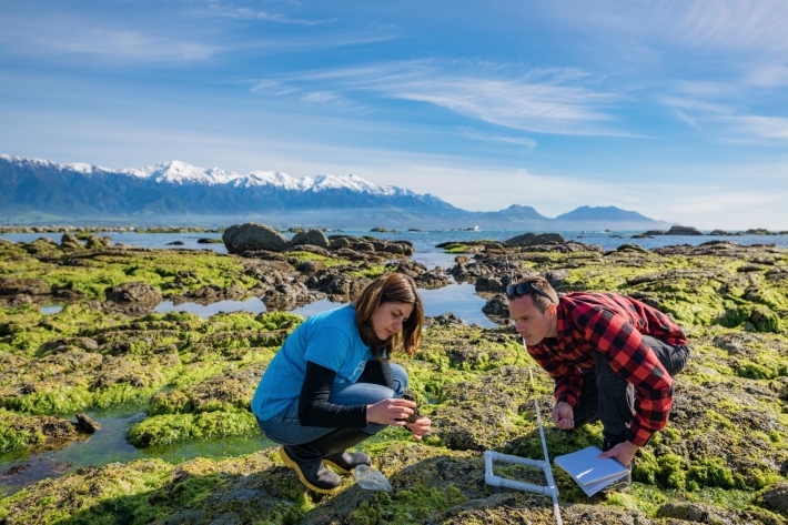
Our work
We have an exciting range of career opportunities at NIWA in both the scientific and professional support areas. -

Generating synthetic wind data
Research ProjectNIWA has recently created synthetic, multi-year, 10-minute wind datasets at 15 wind farm sites across New Zealand. These will be used by the Electricity Commission to model the impact of wind farms on the national grid. -
Dry stock
Dry stock farming consists predominantly of pasture grazing beef cattle, sheep, and deer for meat, wool, and velvet production. -
New Zealand from space
This daily image of New Zealand from space was created using data from one of NASA's EOS satellites, collected at our receiving station in Lauder, Central Otago. -

Lesson 2: Wind
Education ResourceSometimes wind can feel like a bit of a mystery because we can feel it, but not see it. -
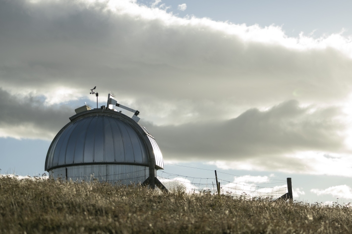
UVI forecast for Specific Sites
Check out UV index forecasts for locations in New Zealand (including ski fields), Australia, the Pacific and Antarctica. -

Riparian management classification
Management of stream riparian areas - including vegetation and stock access - influences the health of streams and downstream water bodies. -
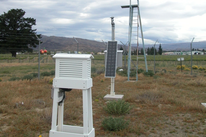
NZ temperature record
Research ProjectThere are many lines of evidence showing that NZ has warmed during the past century. -
Kanae
Grey mullet have a worldwide distribution and Aotearoa is at the southern limit of their range. -
Nutrient overloading
Nutrients in waterways are essential for the growth of algae and aquatic plants but too much can destroy an ecosystem.