-
Estuary origins
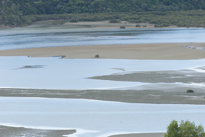
In comparison to the vast span of geological time, the estuaries that we see today are very recent coastal features. -
Canterbury Wave Conditions
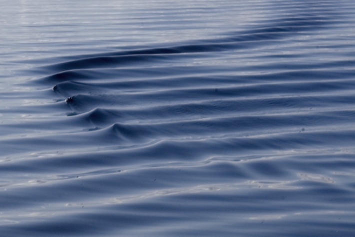
Software Tool/ResourceNIWA run a computer model which simulates wave heights across the Canterbury continental shelf and along the coast. -
Publicly available data and publications
FacilityNIWA makes available and regularly updates results from several greenhouse gas measurement projects. -

Proud of your plants? 1 June 2017
News article01 June 2017NIWA is doing a nationwide study to discover what makes the best riparian projects. Help us give you the knowledge to make the best riparian management decisions possible by taking our 5 minute survey. -
New database sheds light on prehistoric tsunamis affecting New Zealand
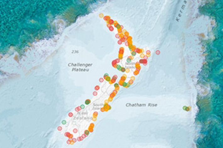
Media release31 May 2017The scientific records of palaeotsunamis to have affected New Zealand shores can now be accessed in a new one-stop information shop. -
Splendid Sponges (Intertidal)
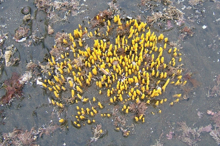
An interactive guide to the intertidal sponges of New Zealand. -
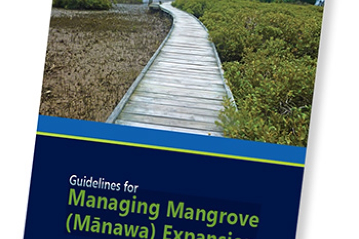
Mangroves: to clear or not to clear?
Media release19 May 2017NIWA scientists have written a guide for managing mangroves, prompted by a desire for people to learn more about mangrove ecosystems, and what happens when they are removed. -
When the sea gives back – a story of luck and decency
Media release15 May 2017NIWA puts a lot of things in the ocean—instruments tied to moorings, floats that dive up and down measuring what’s going on in the water, and video cameras that monitor fish. -
NIWA Technical Background report for MfE “Clean Water” Swimmability Proposals for Rivers
News article11 May 2017NIWA provides technical background information on "Clean Water" swimmability proposals.