-
What's in your air, Alex?
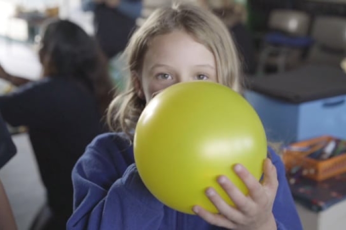
NIWA is helping young people get involved in air quality research. With funding from Unlocking Curious Minds children from Alexandra Primary School are becoming junior scientists and learning about air quality in their town. -

Councils get help to prepare for sea-level rise
Media release18 July 2018A senior NIWA scientist is concerned many councils are having difficulty “getting off the starting blocks” when it comes to planning for coastal climate change. -

Wellington’s whale may be a good sign, says NIWA
Media release09 July 2018Wellington’s whale may be a sign they are returning to their historical habitat, says NIWA. -
2017-2018 - Voyage summary
VoyageRV Tangaroa Summary Voyages 2017/18
1 July 2017 to 30 June 2018 -

Warmth dramatically outpaces chill so far this year
Media release04 July 2018It's a story of the warm and the wet. -
Pelagic shark risk assessments
Research ProjectNIWA has developed a new method for spatially-explicit, quantitative, sustainability risk assessment of pelagic shark population. -
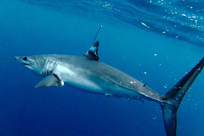
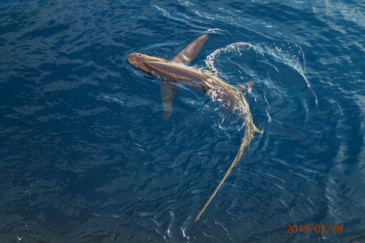
Shortfin mako sharks
Research ProjectSharks are vulnerable to overfishing because of their low reproductive rates and often low growth rates. Most pelagic sharks fall near the middle of the shark productivity scale, and there is concern that catching too many of them could lead to population depletion. In New Zealand waters, mako sharks are the second most commonly caught shark species (after blue sharks) on tuna longlines. -
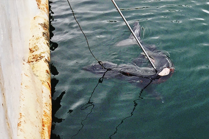
Shark conservation one watermelon at a time
Media release02 July 2018Warrick Lyon is heading to the Marshall Islands to teach fisheries observers how to tag sharks. -

Water sensitive urban design: a concrete case
Feature story27 June 2018The hard concrete surfaces that characterise New Zealand towns and cities are barely likely to register as a problem with most people. But they're never far from the minds of our urban water researchers. -

Overview of environmental flow tools
Methods/tools that can be used to assess ecological flow requirements in rivers with varying degrees of hydrological alteration and instream values.