-
QGIS
QGIS is a free, open source, desktop mapping tool, widely used in New Zealand in government, research, commercial and NGO arenas. -
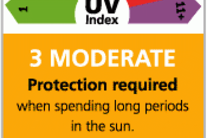
Real-time UV Index displays
NIWA has developed a real time UV display in consultation with the Cancer Society and Sunsmart. -
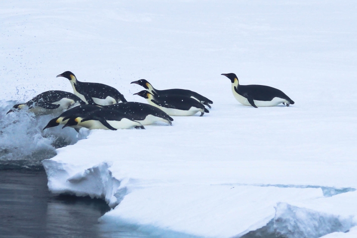
Emperor penguin foraging behaviour revealed
Media release06 June 2017An unavoidable delay in a research ship’s voyage to Antarctica resulted in some surprising and important findings about the behaviour of emperor penguins. -
Lesson 9: Ngā Tohu o te Taiao – Māori environmental indicators
Education ResourceThis lesson will explore the use of Māori environmental indicators [tohu] to anticipate local weather and climate conditions. -

Summer Series Week 4: Know your shells
News article06 June 2017If you're collecting sea shells at the beach this summer and wondering what they are, NIWA is here to help. -
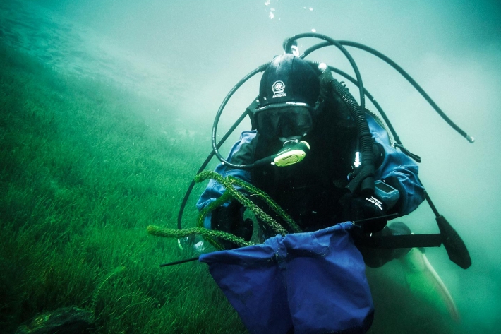
Lake Ōmāpere and the Utakura River
Tuna harvested from Lake Ōmāpere and Utakura River catchment have long comprised an important fishery for tangata whenua. -
Ideas for projects using climate data
Education ResourceIdeas for projects using climate data -
Tuna - identification
There are several ways to tell the three New Zealand eel species apart. -
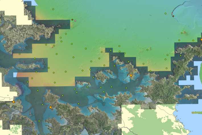
Charts
Publication seriesCharts of coastal bathymetry, sediment, and other information are available for purchase.