-
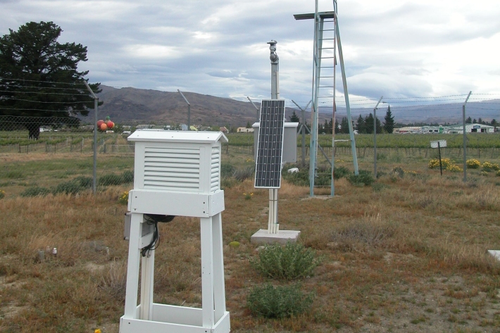
NZ temperature record
Research ProjectThere are many lines of evidence showing that NZ has warmed during the past century. -

Kanae
Grey mullet have a worldwide distribution and Aotearoa is at the southern limit of their range. -

Nutrient overloading
Nutrients in waterways are essential for the growth of algae and aquatic plants but too much can destroy an ecosystem. -
Tau kōura sample collection and processing protocol
Tau kōura is a traditional Māori fishing method commonly used to harvest kōura or freshwater crayfish in areas where they are abundant. -
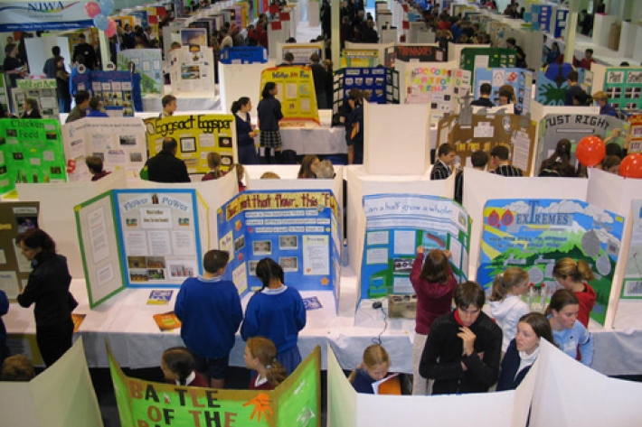
Working with schools
We sponsor regional science and technology fairs around New Zealand and support learning programmes that bring science into the classroom. -
Definitions of drought
There are several definitions of drought, depending upon whether it is viewed as a hazard or a risk. -
Map I South
Education ResourceThe climate of this zone is largely dependent on the lie of the Southern Alps to the west, but many areas are also sheltered by high country to the south and east. -
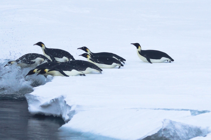
Emperor penguin foraging behaviour revealed
Media release06 June 2017An unavoidable delay in a research ship’s voyage to Antarctica resulted in some surprising and important findings about the behaviour of emperor penguins. -
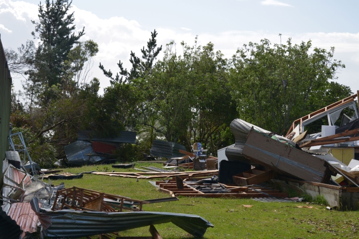
Extreme weather - winds and tornadoes
Education ResourceDue to its position in the 'Roaring Forties', a belt of strong winds in the Southern Hemisphere which generally occur between the latitudes of 40 and 49 degrees, as well as its small size, New Zealand is a windy country. -
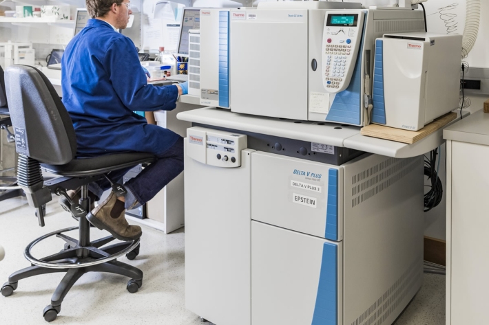
Compound Specific Isotope Analysis (CSIA)
Compound specific stable isotope analysis techniques are an increasingly useful tool to address many ecological and environmental research questions. -
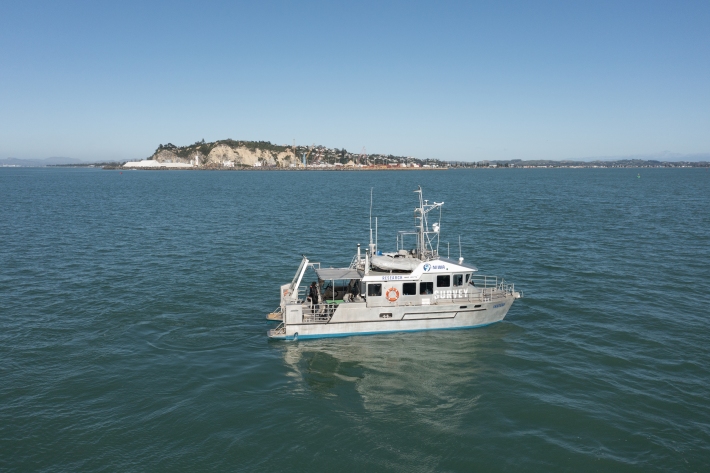
RV Ikatere
FacilityA versatile inshore vessel, RV Ikatere is equipped with high-precision multibeam and sub-bottom profiler transducers for surveying and mapping the seabed.