-
Urbanisation
Aotearoa’s main urban areas cover approximately 2% of total available land. -
Education and information
Education ResourceExplore our education and information section to find out about climate and climate change, weather, our atmosphere, estuaries and more. -
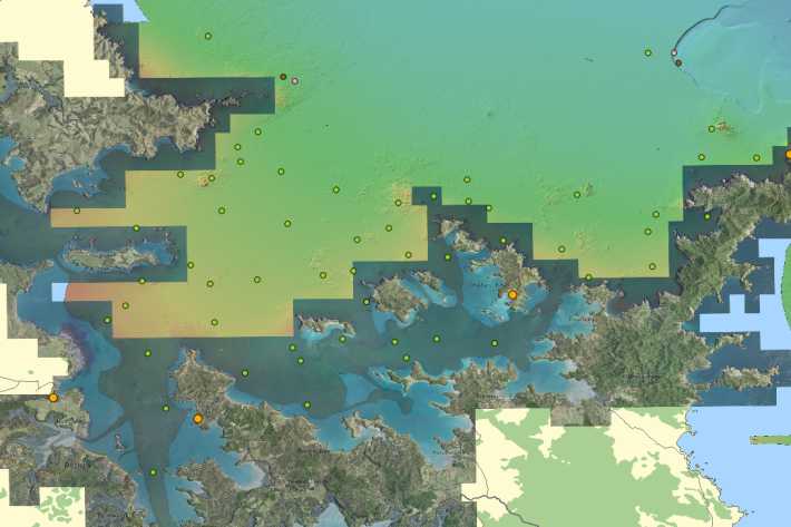
QGIS
QGIS is a free, open source, desktop mapping tool, widely used in New Zealand in government, research, commercial and NGO arenas. -
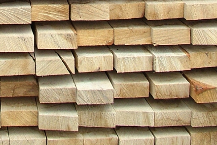
Wood processing
Trees are grown and converted into a range of useful timber and paper products. -

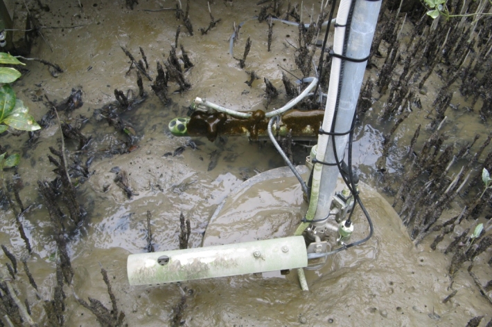
Lake Ōmāpere and the Utakura River
Tuna harvested from Lake Ōmāpere and Utakura River catchment have long comprised an important fishery for tangata whenua. -
CASAL
CASAL is an advanced software package developed by NIWA for fish stock assessment. -
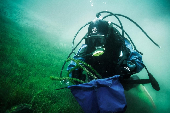
Tuna - identification
There are several ways to tell the three New Zealand eel species apart. -
Our mission
NIWA's mission is to conduct leading environmental science to enable the sustainable management of natural resources for New Zealand and the planet. -
Mean monthly temperatures (°C)
These datasets are available in a range of formats.