-
Scientists explore deepest parts of the Kermadec Trench
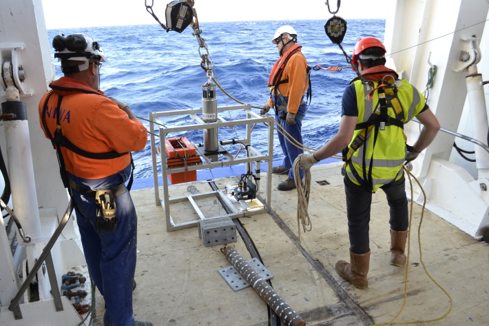
Media release06 June 2017Scientists exploring the Kermadec Trench believe they have retrieved the deepest ever sediment sample from the bottom of the ocean using a wire-deployed corer. -

Mean daily maximum temperatures (°C)
These datasets are available in a range of formats. -
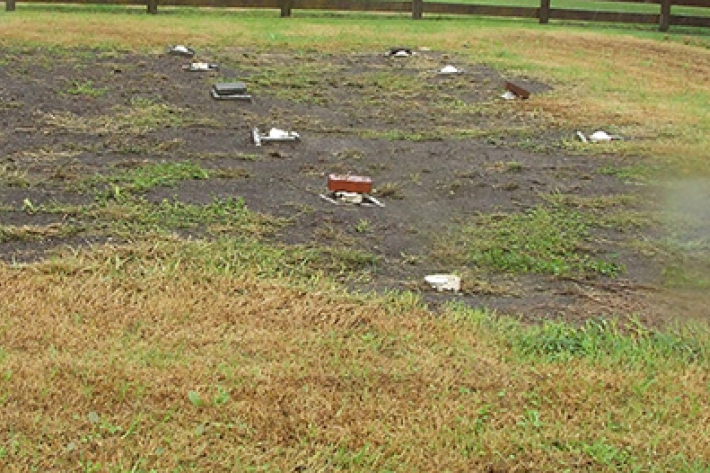
Nutrients and wastewater
How do nutrients from wastewater treatment enter waterways? -
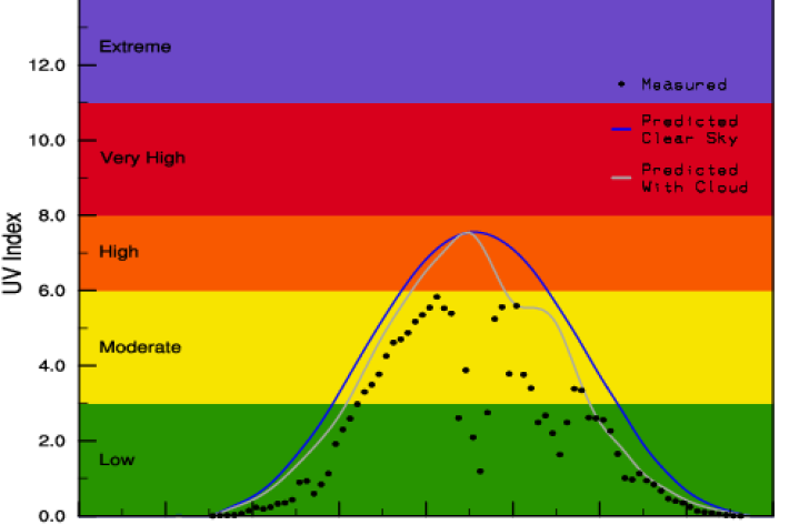
Yesterday's UV Index
Plots of UV levels throughout the day at different locations. -
Rainfall Deciles (RD)
If you list all the historic rainfall totals for a particular month and for a specific location, rank these from lowest to highest, then divide the list into ten equal parts, you have identified the ten rainfall deciles for that month and for that location. -
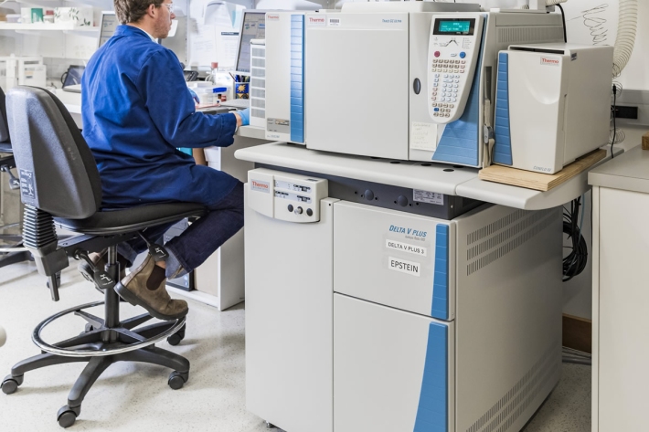
Compound Specific Isotope Analysis (CSIA)
Compound specific stable isotope analysis techniques are an increasingly useful tool to address many ecological and environmental research questions. -
Map South
Education ResourceMost of this climate zone is characterised by cool coastal breezes, and absence of shelter from the unsettled weather that moves over the sea from the south and southwest. -
What do we measure?
Research ProjectA range of physical and chemical variables are measured in the NRWQN. -
Tuna - solutions: upstream passage for elvers at large barriers
The need to provide upstream passage facilities for ensuring the long term sustainability of migratory freshwater fish populations is now well recognised. -
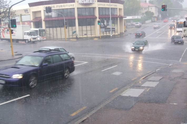
Stormwater - an introduction
Stormwater poses risks to NZ’s urban streams & coastal waters, affecting ecological health & the cultural, social, & economic value of these environments. -

Urbanisation
Aotearoa’s main urban areas cover approximately 2% of total available land. -

Education and information
Education ResourceExplore our education and information section to find out about climate and climate change, weather, our atmosphere, estuaries and more.