-
Assessment of crop and tree species growing potential using climate, soil and topographic information
Research ProjectThis project demonstrates how to assess high value alternative land-use options by means of a quantitative analysis of the growing potential of selected niche crops and tree species. -

Piharau
Piharau/kanakana are an important mahinga kai species and a prized delicacy for many Māori. -
Map South
Education ResourceMost of this climate zone is characterised by cool coastal breezes, and absence of shelter from the unsettled weather that moves over the sea from the south and southwest. -
Tuna - commercial fisheries
Commercial eel fishery in New Zealand began in earnest in the 1960s and expanded rapidly until the early 1970s -
Lesson 9: Ngā Tohu o te Taiao – Māori environmental indicators
Education ResourceThis lesson will explore the use of Māori environmental indicators [tohu] to anticipate local weather and climate conditions. -
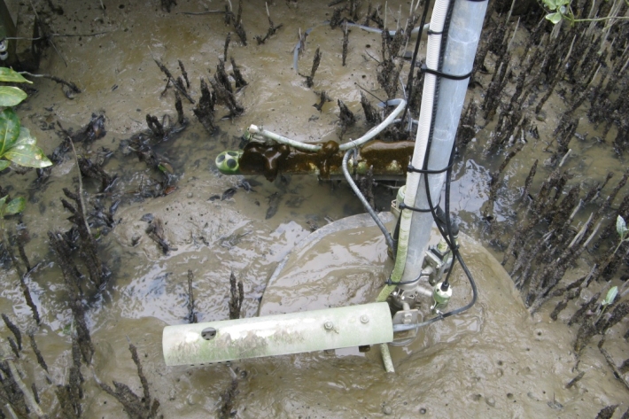
What do we measure?
Research ProjectA range of physical and chemical variables are measured in the NRWQN. -
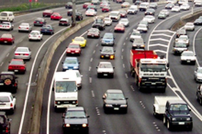
Urbanisation
Aotearoa’s main urban areas cover approximately 2% of total available land. -
Education and information
Education ResourceExplore our education and information section to find out about climate and climate change, weather, our atmosphere, estuaries and more. -
Biological limitations
Identifying biological factors that may be limiting fish numbers requires sampling to ensure that key invertebrate prey species are not scarce and that pest fish, especially predators, are not abundant. -
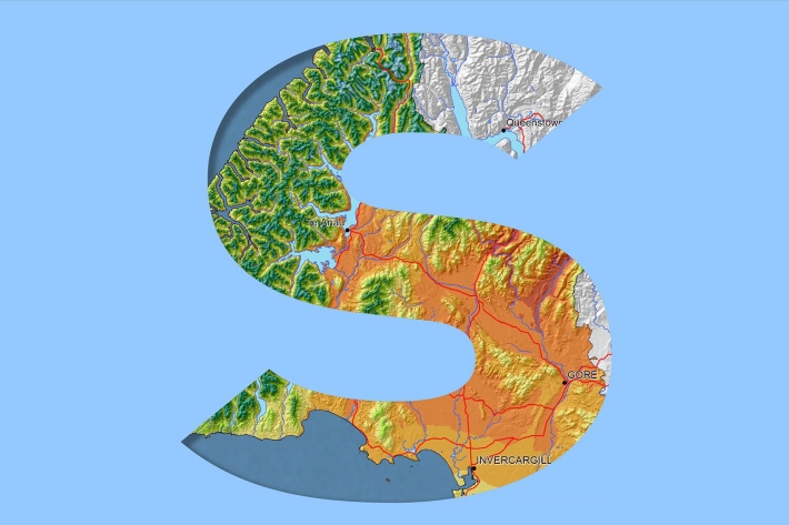
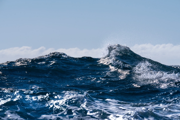
Southland
Southland is both the most southerly and most westerly part of New Zealand and generally is the first to be influenced by weather systems moving onto the country from the west or south.