-

Argyrometra mortenseni
This week's Critter of the Week (number 130) is the feather star Argyrometra mortenseni. -

Critter of the Week: The brittle star Ophioleuce brevispinum
This week we bring you a species that puts the ‘brittle’ into brittle star: the beautiful and fragile Ophioleuce brevispinum. -

Critter of the Week: The Mediterranean fanworm Sabella spallanzanii
The Mediterranean fanworm Sabella spallanzanii is a spectacularly large worm with a characteristic circular whirl of filaments. -

Critter of the Week: Zoroaster
We hope this Week’s Critter of the Week will brighten your day, introducing the genus of sea stars called Zoroaster. -

As far down as it goes - Critter of the Week - Scopelocheirus schellenbergi
With the Kermadec Trench Expedition coming to a close , we thought we would stay on the theme of trenches for a little longer and present to you Scopelocheirus schellenbergi. -

Critter of the Week: Grumpy crab Pilumnus novaezelandiae.
Never complain about a bad hair day again! This week’s crab arguably gives more the impression of disbelief than grump. -

Critter of the Week – The fig shell, Thalassocyon tui
This week we introduce a beautiful treasure of the deep, Thalassocyon tui a sea snail generally found in northern New Zealand waters. -

Critter of the Week - precious coral Corallium
This week, let us celebrate the closely related genus Corallium in honour of our visiting scientist Tzu Hsuan Tu from the National Taiwan University in Taipei. -

Ocean acidification - What does it mean for Shellfish?
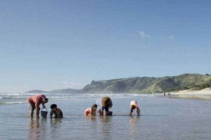
This video has been produced to highlight ocean acidification as a potential issue affecting the NZ shellfish aquaculture industry -

Sea lion teeth provide window on past
News article28 April 2014A NIWA scientist is drilling the teeth of New Zealand sea lions to learn more about why the species is struggling to survive -

Thin ice
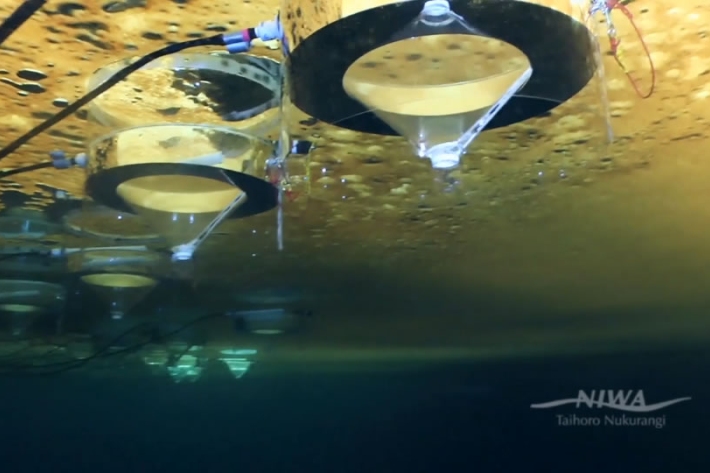
In late 2013, a group of scientists from NIWA travelled to Antarctica to perform a series of experiments under the sea ice to look at how climate change and ocean acidification could affect this fragile ecosytem. -

Ocean acidification and warming
Research ProjectAcidification of the world’s oceans from rising atmospheric carbon dioxide levels reduces the availability of carbonate required by some marine organisms to build shells and skeletons, and potentially affects their ability to maintain existing structures.
