-
Forecasting weather systems
Research ProjectNIWA’s research into forecasting weather systems aims to increase the resilience of New Zealand communities to weather-related hazards. -

Seabed 2030
Research ProjectNIWA is leading a New Zealand partnership to map the South and West Pacific Ocean's seabed as part of a worldwide initiative to map the entire globe’s seafloor. -

Climate Change Adaptation Toolbox
ServiceThis Toolbox helps you find out about the changing climate, what it might mean for your business, organisation or community. -
Groundwater and flooding implications for coastal dairy farms
Research ProjectA risky and potentially costly future -

Pacific Risk Tool for Resilience (PARTneR)
The Pacific Risk Tool for Resilience (PARTneR) projects aim to help countries in the Pacific become more resilient to the impacts of climate-related hazards. -

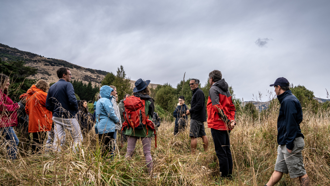
Tools to support powerful conversations
Research ProjectFuture Coasts Aotearoa is empowering communities to confront climate change with practical and interactive tools designed to inspire meaningful science-based conversations around adaptation. -

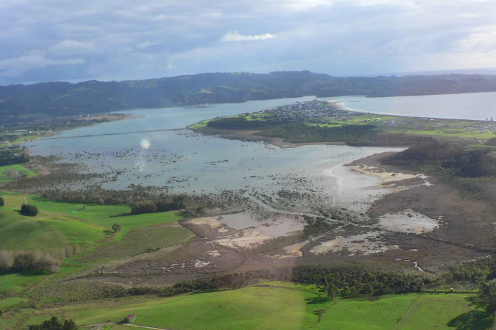
Impact of rising sea levels on New Zealand pasture
Research ProjectWith sea levels expected to rise in New Zealand, the Future Coasts Aotearoa programme is researching how rising seas could raise groundwater levels and affect lowland farming. -
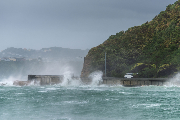
Storm-tide red-alert days 2026
ServiceStorm-tide red alerts mark the highest king tides, crucial for emergency and coastal hazard managers to monitor. -
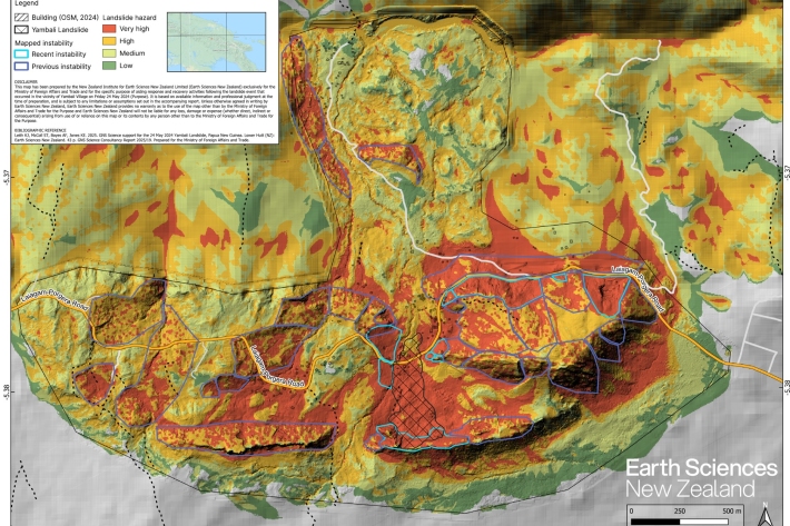
Supporting Papua New Guinea landslide response
Publication article11 November 2025In May 2024, a massive landslide buried Yambali village, resulting in significant loss of life and severing road access, prompting an urgent humanitarian response. -
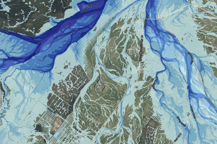
Nationwide study reveals escalating flood risk
Media release30 October 2025New research led by Earth Sciences New Zealand reveals that more than 750,000 New Zealanders live in locations exposed to flooding from one-in-100-year rainfall flooding events. -
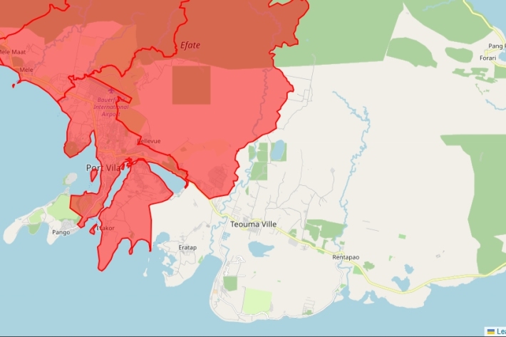
Fault lines to Frontlines—Supporting Vanuatu earthquake response
Publication article24 October 2025Surge support for hazard analysis and recovery. -
Real Options Analysis
Research ProjectEvaluating its strengths and limitations through two Future Coasts Aotearoa case studies