-
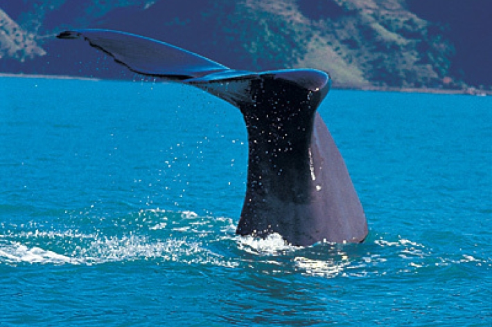
Scientists on the trail of elusive sperm whales
Feature story21 December 2020Acoustic monitoring of sperm whales -
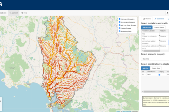
Eutrophication Explorer
A web application tool to explore monitoring data and model predictions related to stream and estuary eutrophication -
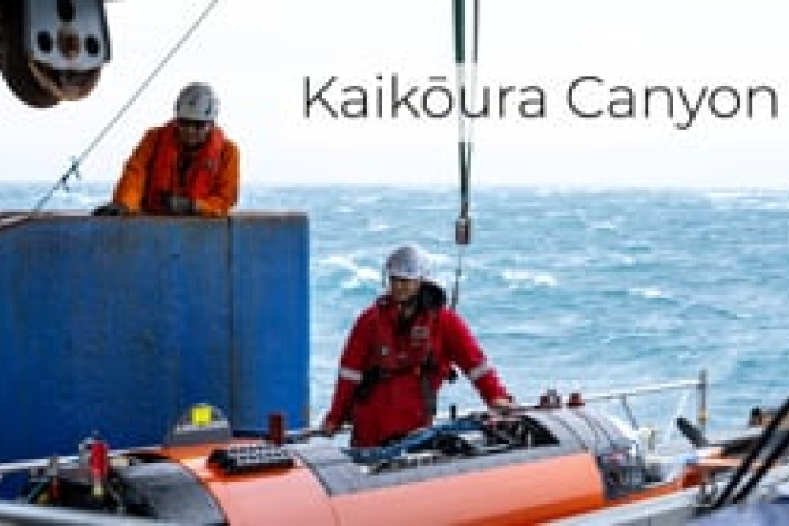
Kaikōura Canyon
Our team of researchers have recently returned from a voyage onboard RV Tangaroa to retrieve moorings deployed to collect sediment samples from the Kaikōura Canyon. -
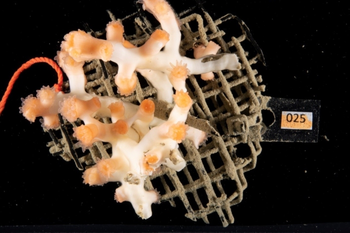
Chance find leads to first look at coral larvae
Media release12 November 2020Small orange flecks spotted floating around in a respiration chamber at a NIWA laboratory have led to a discovery about the spawning habits of a deep-sea stony coral in New Zealand waters. -
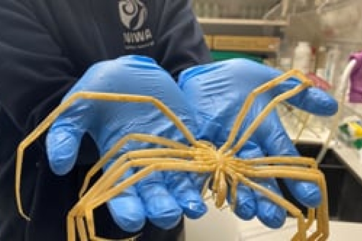
Critter of the deep - Episode 3: Sea spider
Sea spiders look similar to land spiders, but they are in their own special group. -

Dr Jade Maggs talks about reef sharks
A global survey involving 123 scientists from 58 nations raises concerns about the global status of reef sharks. -
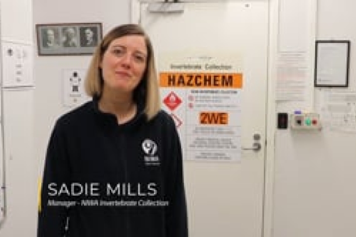
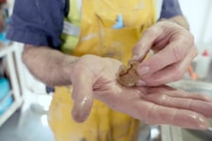
Tour of the NIWA invertebrate collection
The NIWA Invertebrate Collection (NIC) holds specimens from almost all invertebrate phyla. -

Critter of the deep - Episode 1: Secrets of the Ram's horn squid
Have you ever seen these shells on the beach? -
Ashley Rowden and Katie Bigham - Marine ecologists
Ashley Rowden and Katie Bigham talk about the positive changes observed on the seafloor following the 2016 Kaikōura earthquake. -
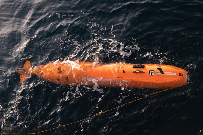
Underwater robot getting close-up look at Kaikōura Canyon
Media release08 October 2020A six-metre long orange underwater robot is flying through the Kaikōura Canyon for the next month collecting information on how the canyon has changed since the 2016 earthquake. -

New tsunami monitoring system for Pacific
Feature story22 September 2020A network of state-of-the-art tsunami buoys is being deployed from New Zealand up into the Pacific to keep communities safer. -

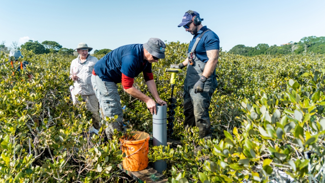
NIWA’s Estuarine Trophic Index
Research ProjectConstructed wetlands, detention bunds, woodchip denitrification filters and planted riparian buffers are examples of a growing suite of edge-of-field and farm-scale mitigation systems that are being trialled across rural New Zealand to reduce the impact of diffuse pollution on freshwater quality