-
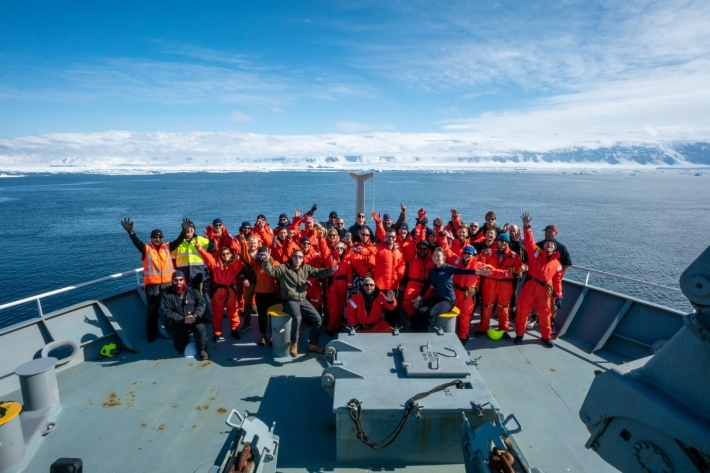
Science update 5 from Richard O’Driscoll
Day 34 of the Ross Sea Life in a Changing Climate (ReLiCC) 2021 voyage on RV Tangaroa. We are back in New Zealand waters and due to arrive in Wellington on the morning of Monday 15 Feb. -
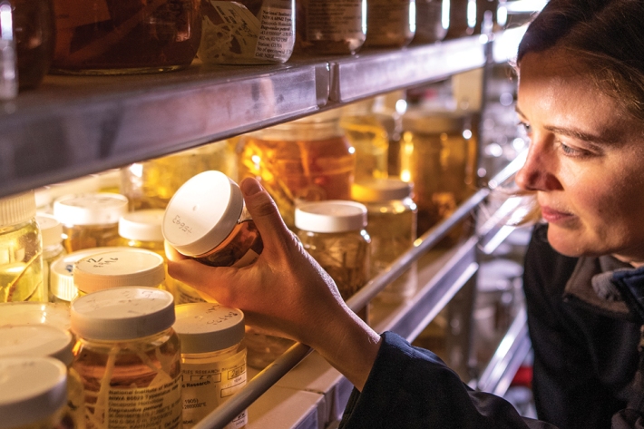
Queen of the critters
Feature story11 February 2021Sadie Mills has come a long way from scaring the inhabitants of Scottish rock pools. Sarah Fraser explains. -
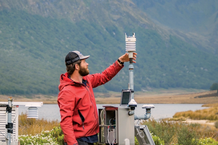
From sky to server
Feature story11 February 2021A few drops of rain can go a long way. Campbell Gardiner explains. -
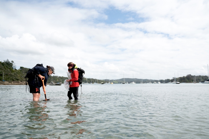
Keeping tabs on muddy waters
Feature story11 February 2021Sam Fraser-Baxter heads out with a NIWA research team keeping a close eye on these vulnerable transition zones. -
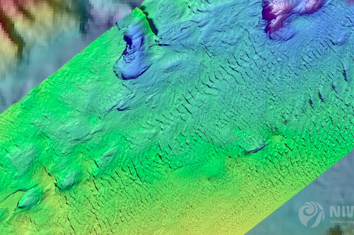
Norse goddess reveals seabed secrets
Feature story11 February 2021A large, orange Scandinavian robot gives NIWA’s marine geologists an in-depth look at changes to the seafloor off Kaikōura. -
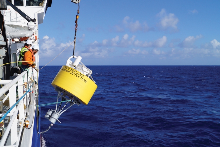
A job for the buoys
Feature story11 February 2021New Zealanders and Pacific Island communities are on their way to having the most advanced tsunami monitoring system in the world. -
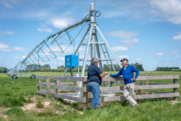
The future shape of water
Feature story11 February 2021Susan Pepperell looks at some of the tough decisions looming around access to freshwater and how science is helping with solutions. -
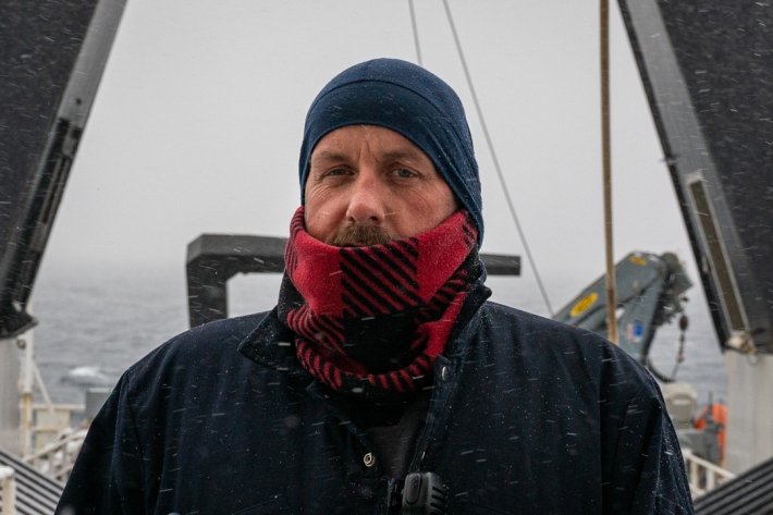
Message in a bottle: Glen Walker, bosun
Glen Walker is the bosun aboard NIWA’s research vessel Tangaroa currently exploring the waters around Antarctica. His reading list is exclusively sea disaster stories. -
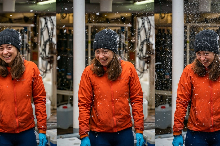
Message in a bottle: Sarah Seabrook
It is interesting to watch all of the pieces of our science story come together with each day’s water sampling and our long term experiments. -
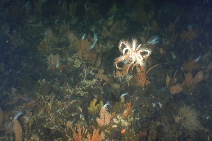
Science update 4 from Richard O’Driscoll
We are now four weeks into the Ross Sea Life in a Changing Climate (ReLiCC) 2021 voyage on RV Tangaroa and our time in the Ross Sea is rapidly coming to an end. -
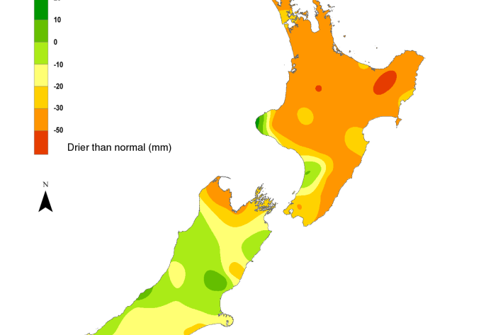
Hotspot Watch 5 February 2021
Hotspot05 February 2021A weekly update describing soil moisture patterns across the country to show where dry to extremely dry conditions are occurring or imminent. Regions experiencing significant soil moisture deficits are deemed “hotspots”. Persistent hotspot regions have the potential to develop into drought. -
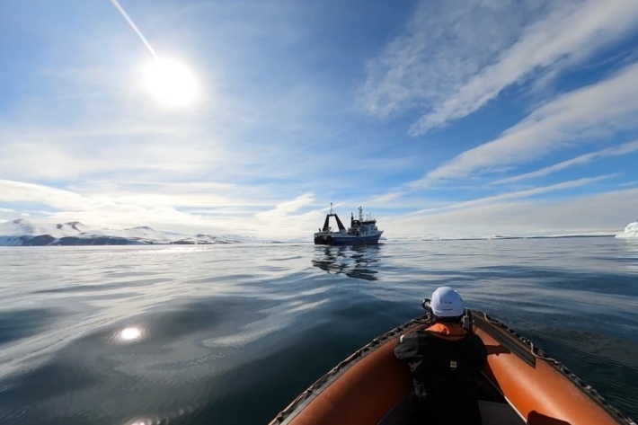
Message in a bottle: Stuart Mackay, Digital Producer
Antarctica is an incredibly pristine place; we are here to do good science and leave no trace. So, you can imagine my horror as I watched my camera start to float away from the boat.
