-

Further reading
References, further reading, and links to useful websites. -
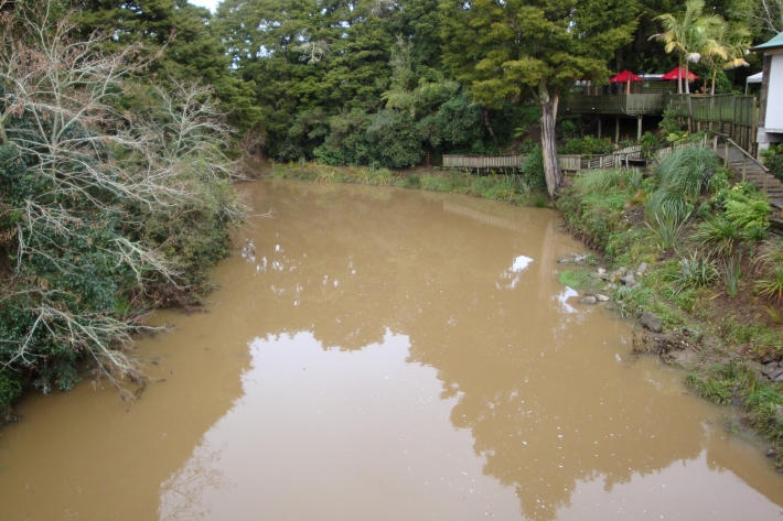
Sediment
When soils erode, sediments are washed into waterways. -
Standardised Precipitation Index (SPI)
The Standardised Precipitation Index (SPI) is a simple measure of drought (and also of very wet conditions) and is based solely on the accumulated precipitation for a given time period. -
New Zealand's Marine Realm
News article06 June 2017NIWA has transformed 1.5 million square kilometres of data into the most accurate and detailed map yet of the land underneath the sea around New Zealand. -
Map W South
Education ResourceThe climate of this area is greatly dependent on its exposure to weather systems from the Tasman Sea and the lie of the Southern Alps to the east. -

Submerged plants as bio-indicators
Submerged plants have a number of advantages that favour their use as indicators of lake ecological condition. -
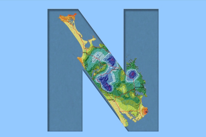
Northland
Northland, with its northern location, low elevation and close proximity to the sea is characterised by a mild, humid, and rather windy climate. -
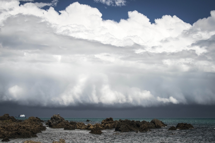
Clouds
Education ResourceCommon questions about clouds, how they are formed and how they behave. -
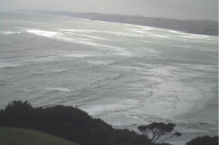
Raglan A
This web camera is available thanks to the support of Waikato Regional Council. -
Coastal storm inundation
Education ResourceNew Zealand has low-lying coastal areas that are vulnerable to inundation (flooding) by the sea.