-
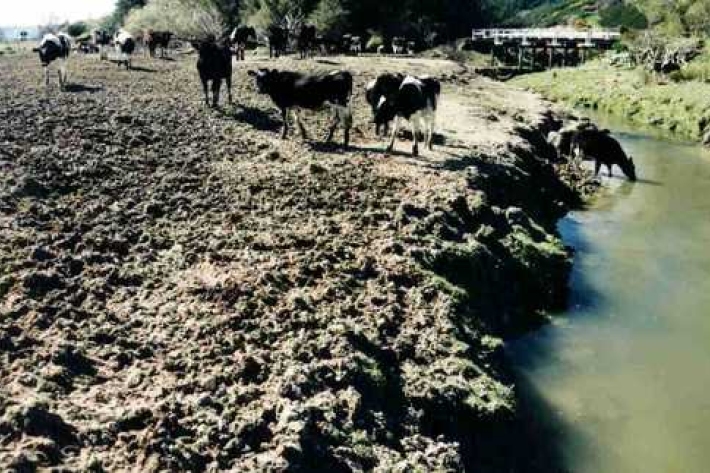
Loss of riparian vegetation
Plants and trees along the water margins and banks are called riparian vegetation. -
New Zealand from space
This daily image of New Zealand from space was created using data from one of NASA's EOS satellites, collected at our receiving station in Lauder, Central Otago. -
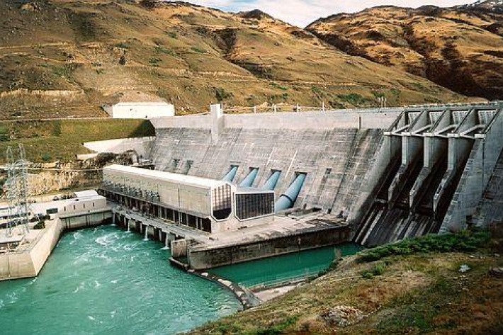
Hydro
Hydro-electricity is a renewable energy source that relies on the inflow of water into storage lakes upstream of a dam. -

Mean daily maximum temperatures (°C)
These datasets are available in a range of formats. -
Air quality monitoring with low-cost sensors
ServiceNIWA provides ambient air quality monitoring services using low-cost ODIN (Outdoor Dust Information Node) sensors. -
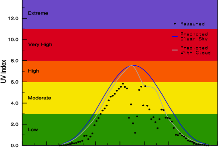
Yesterday's UV Index
Plots of UV levels throughout the day at different locations. -
How can carbon emissions be weighed?
The mass of carbon emissions can easily be calculated. -
Trace gas datasets
ServiceNIWA makes a range of trace gas data freely available on our FTP site. -
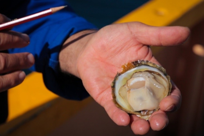
Questions and answers about oyster disease Bonamia ostreae
Media release06 June 2017NIWA is today issuing some scientific information on the parasite Bonamia ostreae, recently discovered in Big Glory Bay, Stewart Island, and the risk it poses to the Bluff oyster fishery. -
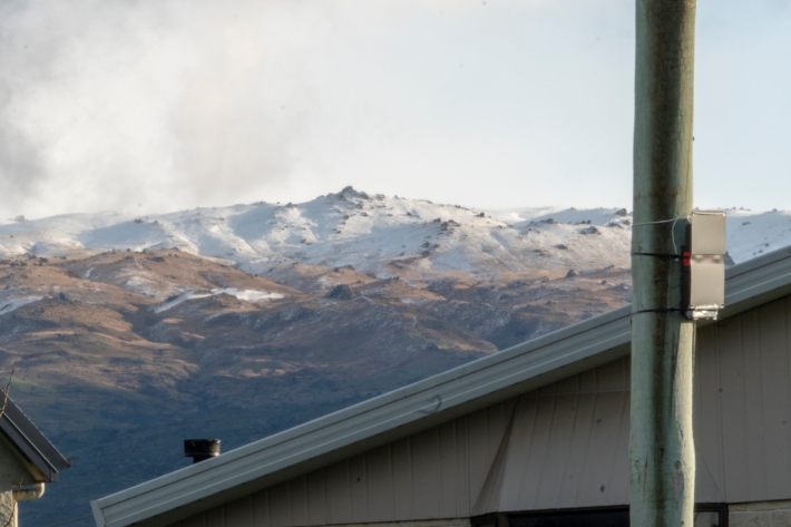
Map Scott
Education ResourceScott Base, Antarctica Antarctica is the coldest, windiest and driest continent.