-

Mean daily maximum temperatures (°C)
These datasets are available in a range of formats. -
El Niño maps and charts
View a collection of maps showing the impact of past El Niño and La Niña events. -
Summer Series 8: The forces behind beach ‘foam’
News article06 June 2017 -
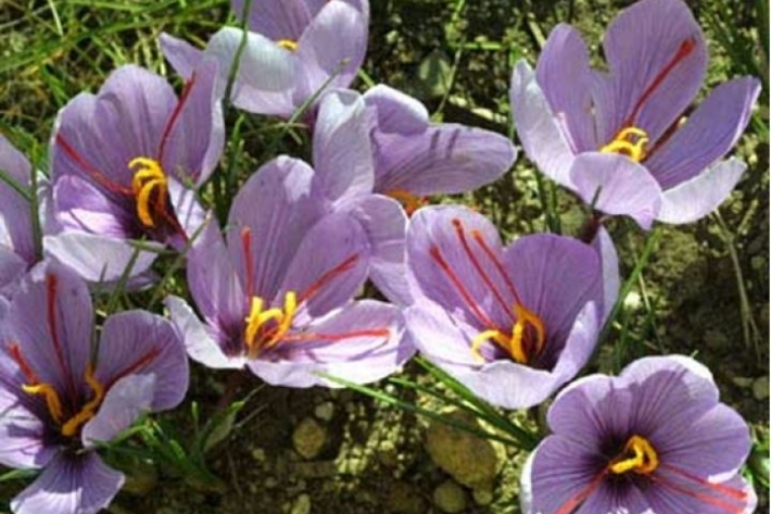
Assessment of crop and tree species growing potential using climate, soil and topographic information
Research ProjectThis project demonstrates how to assess high value alternative land-use options by means of a quantitative analysis of the growing potential of selected niche crops and tree species. -
Piharau
Piharau/kanakana are an important mahinga kai species and a prized delicacy for many Māori. -
Lake Ōmāpere and the Utakura River
Tuna harvested from Lake Ōmāpere and Utakura River catchment have long comprised an important fishery for tangata whenua. -
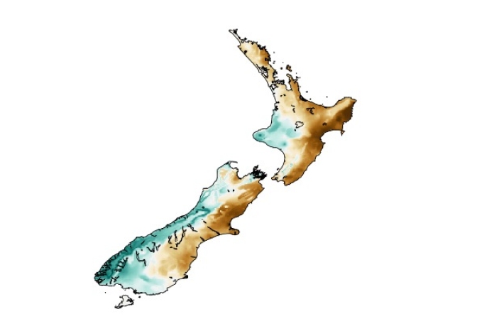
Map South
Education ResourceMost of this climate zone is characterised by cool coastal breezes, and absence of shelter from the unsettled weather that moves over the sea from the south and southwest. -
What do we measure?
Research ProjectA range of physical and chemical variables are measured in the NRWQN. -
Tuna - identification
There are several ways to tell the three New Zealand eel species apart. -
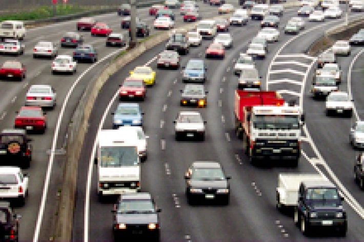
Urbanisation
Aotearoa’s main urban areas cover approximately 2% of total available land.