-

Infectious substances
Waterways can easily become contaminated by pathogens when effluent is discharged nearby. -
Statement of Core Purpose
The Statement of Core Purpose spells out why the Government owns Crown Research Institutes and what it expects from them. -
Map N South
Education ResourceAs much of this climate zone is sheltered by high country to the west, south and in some areas to the east, it is the sunniest region of New Zealand. -

Wave hazard research
Research ProjectNIWA collects wave data, develops and verifies wave forecasting systems, and is developing and producing wave projections. -
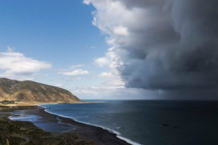
The impact of El Niño and La Niña on New Zealand's climate
El Niño accounts for less than 25 percent of the year-to year variance in seasonal rainfall and temperature at most locations in New Zealand. -
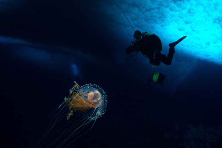
Coldest seawater discovered
Feature story06 June 2017The coldest seawater on earth could help scientists understand why Antarctic sea ice is growing in a warming world -
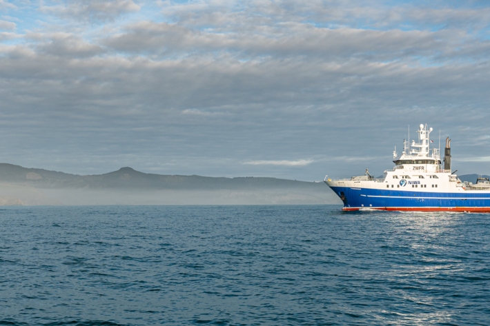
Applying for vessel time
Find out how you can have access to Earth Science NZ's research vessels to carry out marine research voyages. -
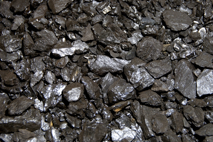
Chemical contamination and mining
What are the potential sources of chemical contamination from mining activities? -
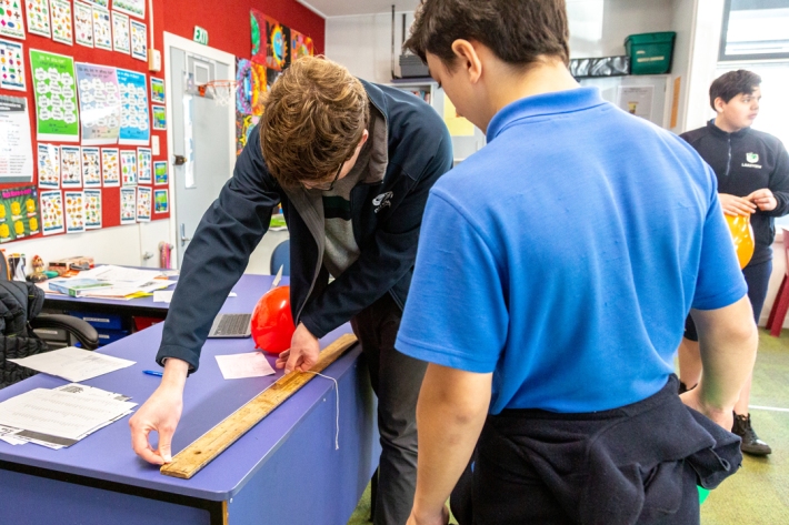
Resources for teachers
NIWA's educational resources and scientific data are tools for young people to learn about science. -
Mountains in the Sea: the Louisville Seamount Chain
We are currently steaming out towards our survey area, the Louisville Seamount Chain, which is about 1500 km from Wellington. -
New map reveals New Zealand’s seafloor in stunning detail
News article06 June 2017 -
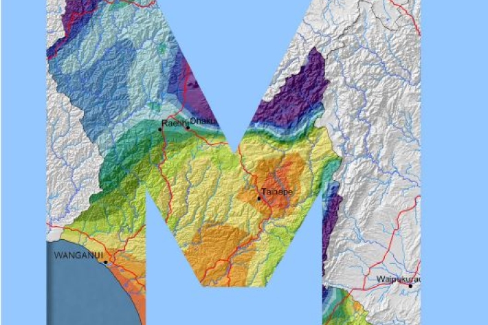
Manawatu-Wanganui
The climate of the Manawatu-Wanganui region is a reflection of the generally disturbed westerly air flow with interspersed anticyclones, modified in specific places by the local topography.