-
Our partners & funders
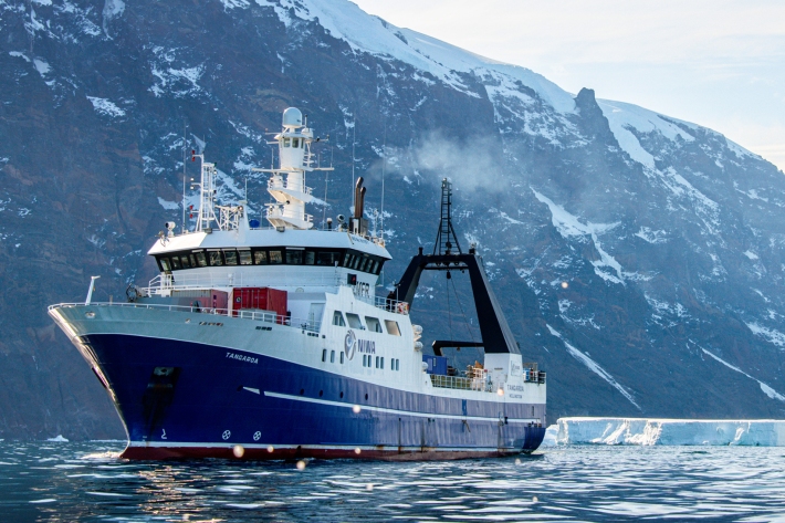
NIWA has working relationships with hundreds of organisations in New Zealand and overseas. -

Soil Moisture Deficit (SMD)
The 3-panel Soil Moisture Deficit (SMD) map shows the historical soil moisture deficit at the date shown (left), the soil moisture deficit at the same time last year (middle) and the current soil moisture deficit (right). -
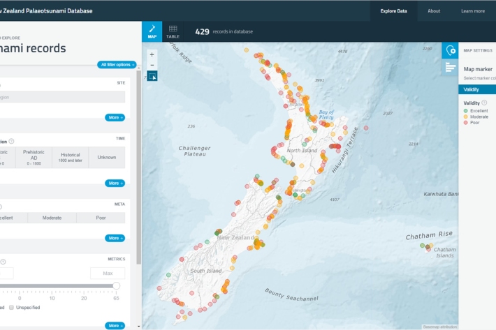
New Zealand Palaeotsunami Database
Software Tool/ResourceThe New Zealand Palaeotsunami Database (Database) brings together all known information about tsunamis that occurred prior to written records. -

NOAA Satellite data
Like the GMS satellite, the NOAA Series of polar orbiting satellites (operated by NOAA, the US National Oceanic and Atmospheric Administration) are a component of the World Weather Watch meteorological satellite network. -
Tuna - recreational fisheries
The majority of New Zealanders are able to recall a story about catching eels when they were children. -
Freshwater databases online
More information about our online freshwater databases. -
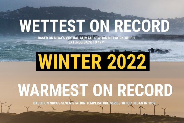
NZ's warmest and wettest winter on record
Media release06 June 2017NIWA’s climate scientists can now confirm what you may have suspected. After carefully poring through more than a century’s worth of data, it has been officially determined that winter 2022 was Aotearoa New Zealand’s warmest and wettest on record. -
Map Sw North
Education ResourceBecause of its exposure to disturbed weather systems from the Tasman Sea, this climate zone is often quite windy, but has few climate extremes. -
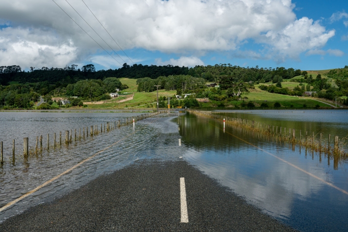
Flooding - how does it happen?
Education ResourceUnderstanding what happens above and below ground during a flooding event, and how it is different from normal rainfall conditions