-
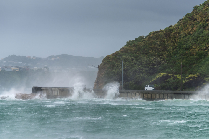
Storm-tide red-alert days 2026
ServiceStorm-tide red alerts mark the highest king tides, crucial for emergency and coastal hazard managers to monitor. -

Storm-tide red-alert days 2025
ServiceStorm-tide red alerts mark the highest king tides, crucial for emergency and coastal hazard managers to monitor. -

Shallow groundwater screening tool
Software Tool/ResourceA risk screening tool that identifies the presence-absence of shallow groundwater. -

NIWA can help you leverage updated climate projections
ServiceNIWA is using updated climate projections to help New Zealanders better understand climate-related risks. -

Tide Forecaster
ServiceNIWA's Tide forecaster provides tidal data for any point in New Zealand. -
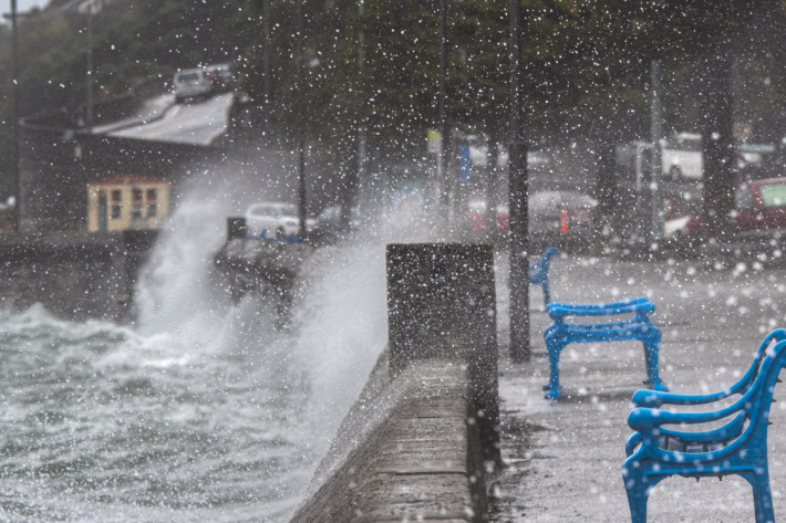
High Intensity Rainfall Design System (HIRDS)
ServiceHIRDS is a simple online tool that can estimate the magnitude and frequency of high intensity rainfall at any point in New Zealand. -
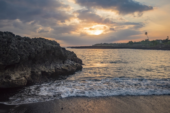
Cam-Era
ServiceCam-Era is a network of computer-controlled cameras that monitor the New Zealand environment for research and resource management. These are also useful for surfers and swimmers. -
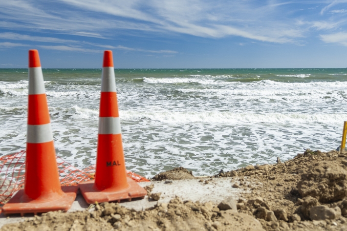
Extreme coastal flood maps for Aotearoa New Zealand
ServiceDecisions about how we adapt to sea-level rise need to be based on information about our exposure to coastal flooding. -
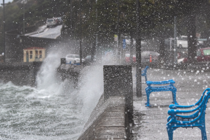
Storm surge and wave forecasting
ServiceWe combine capabilities in weather, wave, storm surge and tide forecasting with tide gauge observations. -

Serious games as a tool to engage people
ServiceNIWA is using serious games to look at problems holistically, support understanding and give a framework for adaptation decisions. -

Climate Change Adaptation Toolbox
ServiceThis Toolbox helps you find out about the changing climate, what it might mean for your business, organisation or community. -
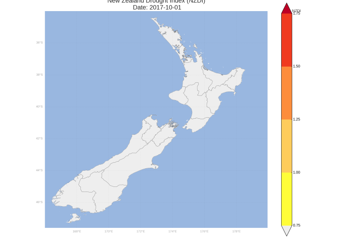
New Zealand Drought Monitor
ServiceThe New Zealand Drought Monitor is a system for keeping track of drought conditions across New Zealand based on a standardised climate index.
