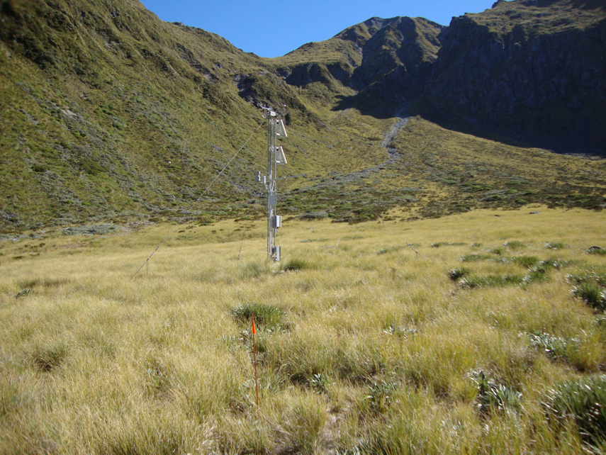
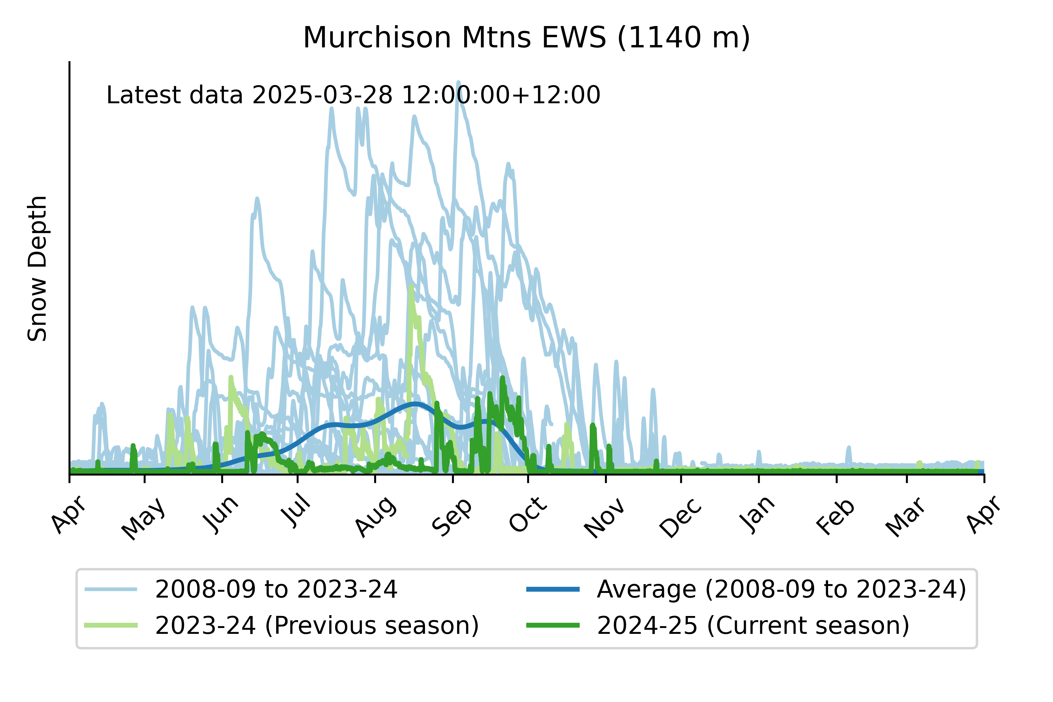
The Murchison mountains SIN station is located at 1140m elevation in Fiordland National Park.
Because of the low elevation, snow often comes and goes throughout the winter season. Snow records start in 2012.
Murchison Mountains EWS snow depth
These plots show the current snow depth relative to historical records of snow depth from the same site. They are updated weekly from raw data that has not undergone any manual quality assurance / quality control.
Please note:
There is an inherent uncertainty in the measurement of snow depth. These plots show information from a single monitoring point, which may or may not represent conditions in the larger surrounding area. The information contained in these plots is provided "as is". The National Institute of Water and Atmospheric Research Limited (NIWA) makes no representations or warranties regarding the accuracy, completeness or fitness for purpose of the snow depth data presented in the plots. There may be delays, omissions or inaccuracies in information contained in the plots. Any reliance on or other use of the data by a party is entirely at that party’s own risk. NIWA accepts no liability to any party for any loss or damage, whether direct or indirect, consequential or otherwise, arising from any party’s reliance on or use of the data.