PDF of this article (154 KB)

Bob Curry describes the present-day role of the National Hydrometric Network and the future with EcoConnect.
Managers of New Zealand’s infrastructure, industries, and resources are keenly interested in daily information on how much energy is required and how much is available. For instance, they want to know if there will be enough electricity for the next season ahead. NIWA has a large involvement and commitment to providing timely information needed to answer these energy questions.
Supplying daily river-flow data
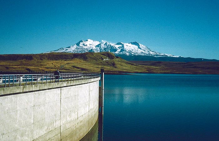
The National Hydrometric Network is a key data network for energy purposes. It comprises about 300 river and lake water-level and river-flow monitoring stations. Every hour, stations transmit data back to NIWA’s 14 field offices and then automatically on to the appropriate data users via the National Hydrometric Database’s operations in Christchurch. About half the stations are supported by the Foundation for Research, Science & Technology and the remainder by hydropower companies. The national network is complemented by networks operated by regional and district councils. Data from these combined networks extend back to the early 1900s. The data are essential for knowing the ongoing state of the nation’s hydro-electricity reserves.
Other hydrometric data collected by NIWA include rainfall and snow measurements. The snow measurements made on behalf of Meridian Energy at alpine locations near NIWA’s Tekapo field office inform Meridian of the status of the snow accumulated over each winter and the likely snow-melt flows into major hydro-lakes in the following summer.
Data for the electricity market
The hydrometric data have been used for over 10 years to supply hydro-lake inflow data and other information to the Marketplace Company (M-co). The storage and inflow data in energy units (GWh) are updated daily and made available by M-co as valuable input information to New Zealand’s electricity trading market. The result can be seen on the COMIT Free To Air website (click on Hydrology).
Predicting future energy supplies
In addition to providing data, NIWA has a number of forecasting systems available or under development. Through a new subsidiary called EcoConnect, in conjunction with the UK Met Office, we're developing the ability to forecast weather, wind, rainfall, and river flow for up to 48 hours ahead. This will support forecasts for energy supply and demand, and for electricity industry operations. For example, EcoConnect will provide forecasts of river flood flows and water levels during storms to help protect asset infrastructure and alleviate flooding by appropriate operation of hydropower reservoirs. On longer time scales, forecasts of low rainfalls in major hydropower catchments will be useful for planning hydropower operations.
Having the appropriate real-time data, information, and forecasts at its disposal means that NIWA’s operations are very closely aligned with those of New Zealand’s renewable energy industries, and the operations of industry sectors that rely on such information.
Keeping the turbines turning
- Environmental monitoring provides key information on renewable energy sources.
- Monitoring data are supplied in real time to assist energy and market operations.
- Predictions of weather and climate assist in energy planning.
Bob Curry manages the National Hydrometric Network; he is based at NIWA in Wellington.
Teachers’ resource for NCEA AS: Science 90191 (1.6). See other curriculum connections at www.niwa.co.nz/pubs/wa/resources