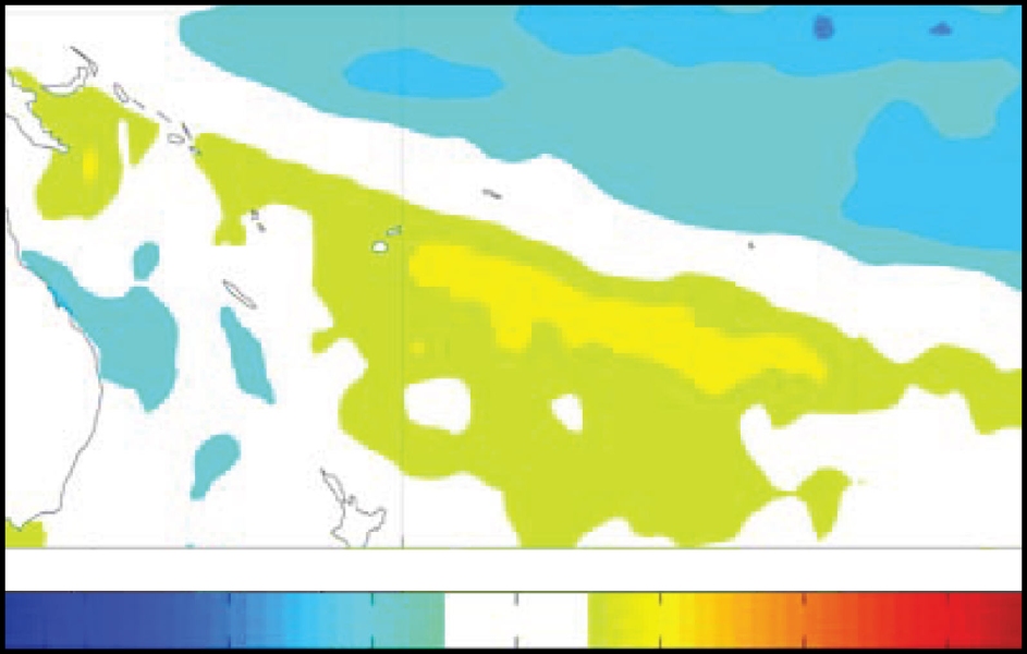
The tropical Pacific is currently in weak to moderate LaNiña conditions and the situation continues to evolve slowly. The SOI has dropped slightly from September but the OLR pattern still exhibits the persistent positive (suppressed convection) anomaly centred near the Date Line, although the area of enhanced convection over Indonesian longitudes has weakened.
The TRMM ENSO index is also steady at around –0.6 for October (–0.5 in September), with the SPCZ displaced southwest of its normal position for this time of year.
The trade winds strengthened during October, west of the Date Line, while sea surface temperature anomalies have continued their negative trend in the east–central equatorial Pacific (NINO3.4 –0.6 for October, –0.5 for ASO). At the subsurface, the negative heat content/temperature anomaly in the central Pacific has continued to strengthen and to propagate eastwards.
In the extra-tropics, the remnant warm "horseshoe" from the previous La Niña (July 2010– Apr 2011) is still evident. An MJO pulse has moved into the Indian Ocean in the last few days but the NCEP GFS predicts it will weaken considerably as it moves towards Indonesia.
All but two of the dynamical ENSO models NIWA monitor predict La Niña conditions through to January, with over half the dynamical models continuing La Niña conditions through FMA 2012. Statistical models are however all in the neutral range.
The NCEP ENSO discussion of 6 October expects weak to moderate La Niña conditions through southern summer. The IRI summary of 20 October concurs that weak to moderate La Niña conditions will continue through southern summer (78% chance), with a 22% chance of neutral conditions (and essentially no chance of an El Niño developing).

