-

Solutions: Regional climate change
Feature story20 April 2018As climate change takes hold, regional council planning, sustainability and hazard managers are looking to NIWA. -
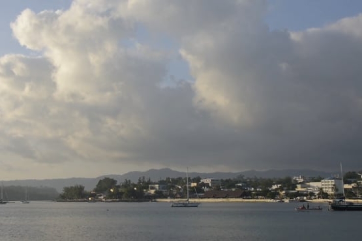
Improved climate information for Vanuatu
NIWA and Vanuatu's Meteorology and Geohazards Department have installed a network of fully automatic weather stations across Vanuatu. -

Beating drought
Feature story10 April 2018How a regional climate history helped save a farm and cure depression -
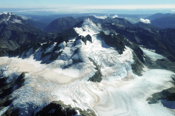
NZ snowline shrinks
Feature story06 April 2018New Zealand’s glaciers have all retreated and lost volume since NIWA started surveying them in 1977. -
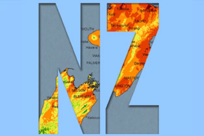
New Zealand
New Zealand is situated in the latitudes of prevailing westerlies and exposed coastal locations often experience strong winds, with generally lighter winds elsewhere. -
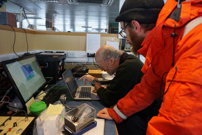
Blog: southern ocean climate models - 13 March
13 March 2018Twice a day at 1pm and 8.30 pm Sean Hartery, NIWA, and Peter Kuma, University of Canterbury, head for the Fantail at the very back of the ship to release their weather balloons. -

Scientists measure glaciers after record-beating summer
Media release08 March 2018Climate scientists and glaciologists are taking to the skies this week to find out how New Zealand’s glaciers are faring following this summer’s record-breaking warmth. -

Swamp kauri providing a window to the past for scientists
Media release26 February 2018Ancient swamp kauri is being used by NIWA scientists to reveal the secrets of past climates. -

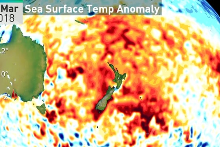
Five more days from the official hottest summer on record
Media release23 February 2018Despite a sub-tropical storm and two ex-tropical cyclones, this summer is about to become the hottest in history. -
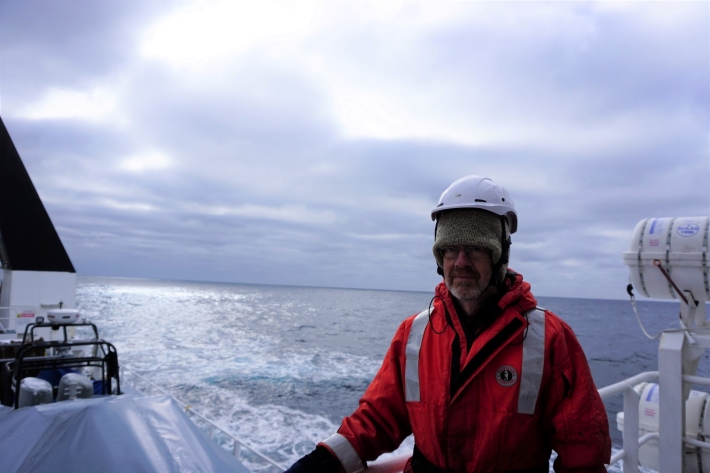
Blog: atmospheric gas measurements - 21 February
21 February 2018John McGregor from NIWA checks on the instruments that measure atmospheric gases throughout our voyage. -
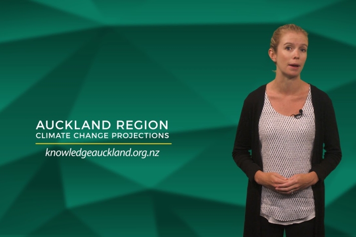
Auckland region climate change projections and impacts | Auckland Council