Case studies were performed with numerous councils, and the results integrated throughout the Toolbox as well as being discussed briefly here.
The development of the tools for the Climate Change Impacts on Urban Infrastructure and the Built Environment Toolbox has been aided by work caried out with the assistance of these councils:
- Westcoast Regional Council
- Buller District Council
- Wellington City Council
- Greater Wellington Regional Council
- Auckland Council
- Christchurch City Council
- Environment Canterbury Regional Council
The following case studies were performed, with the results integrated throughout the Toolbox and briefly described in the case study reports shown here:
Westport
Model current and future flooding of the Buller River, taking into account high-tides, storm-tides and sea level rise; determine the resultant flood inundation in Westport; calculate the likely impacts on infrastructure and buildings in Westport using the RiskScape tool; apply a options screening tool and a rapid cost/benefit analysis tool to assess impacts and adaptation options; and demonstrate a detailed cost/benefit analysis on a specific building.
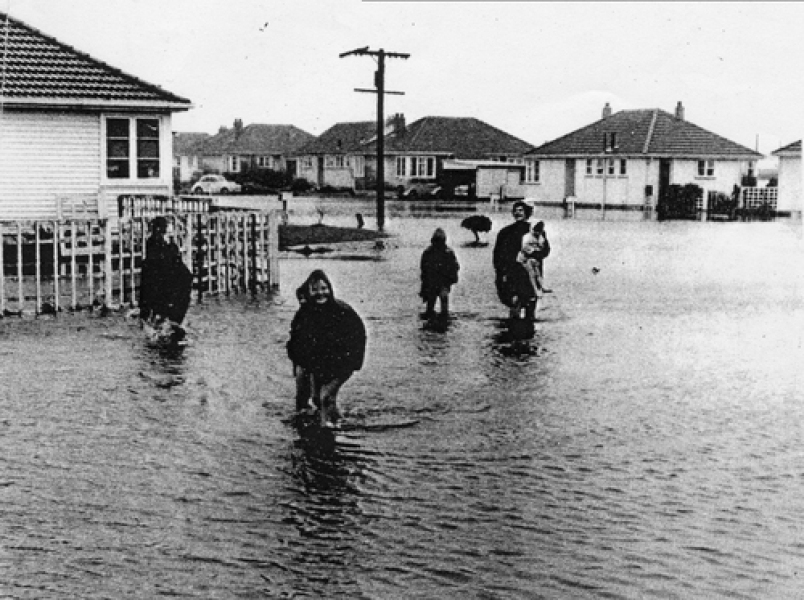
Current and future flooding of the Buller River
Christchurch
Produce storm-tide and high-tide water levels for the Avon/Heathcote Estuary and superimpose sea level rise projections on these water levels; model episodic and permanent inundation along the inner part of the Brighton Spit and assess the impacts on vulnerable buildings and infrastructure using the RiskScape tool; model the likely inundation of future Heathcote floods, taking into account sea level rise, and assess the impacts on vulnerable buildings and infrastructure using the RiskScape tool.
Storm-tide and high-tide water levels for the Avon/Heathcote Estuary
Inundation model of future Heathcote floods
Wellington
Model current and future rainfall-induced landslide susceptibility; model current and future water supply and demand for Wellington City; demonstrate the inclusion of urban growth scenarios in RiskScape; and demonstrate an impacts evaluation tool (e.g. multi-criteria analysis).
Current and future rainfall-induced landslide susceptibility
Current and future water supply and demand model
Auckland
Demonstrate current and planned usage of MfE climate change guidance material for stormwater infrastructure management by city councils; and test high temporal resolution regional climate model climate change projections of heavy rainfall in an existing wastewater pipe model.
Heavy rainfall in an existing wastewater pipe model
Related links
- Urban Impacts Toolbox
- Climate variability and change
- NZ temperature record
- Climate change scenarios for New Zealand
-

Sea level rise and coastal inundation mapping of the Avon-Heathcote Estuary, Christchurch
Urban Infrastructure and the Built Environment Toolbox case study -

Flood modelling of the Heathcote River, Christchurch
Urban Infrastructure and the Built Environment Toolbox case study -

Flood modelling of the Buller River, Westport
Urban Infrastructure and the Built Environment Toolbox case study -

Potable water supply and demand modelling, Wellington
Urban Infrastructure and the Built Environment Toolbox case study -

Rainfall-induced landslide hazard mapping, Wellington
Urban Infrastructure and the Built Environment Toolbox case study -

Wastewater modelling, Auckland
The objectives of this case study were to provide an example of how a risk assessment of an urban drainage system can be undertaken using an existing operational model.


