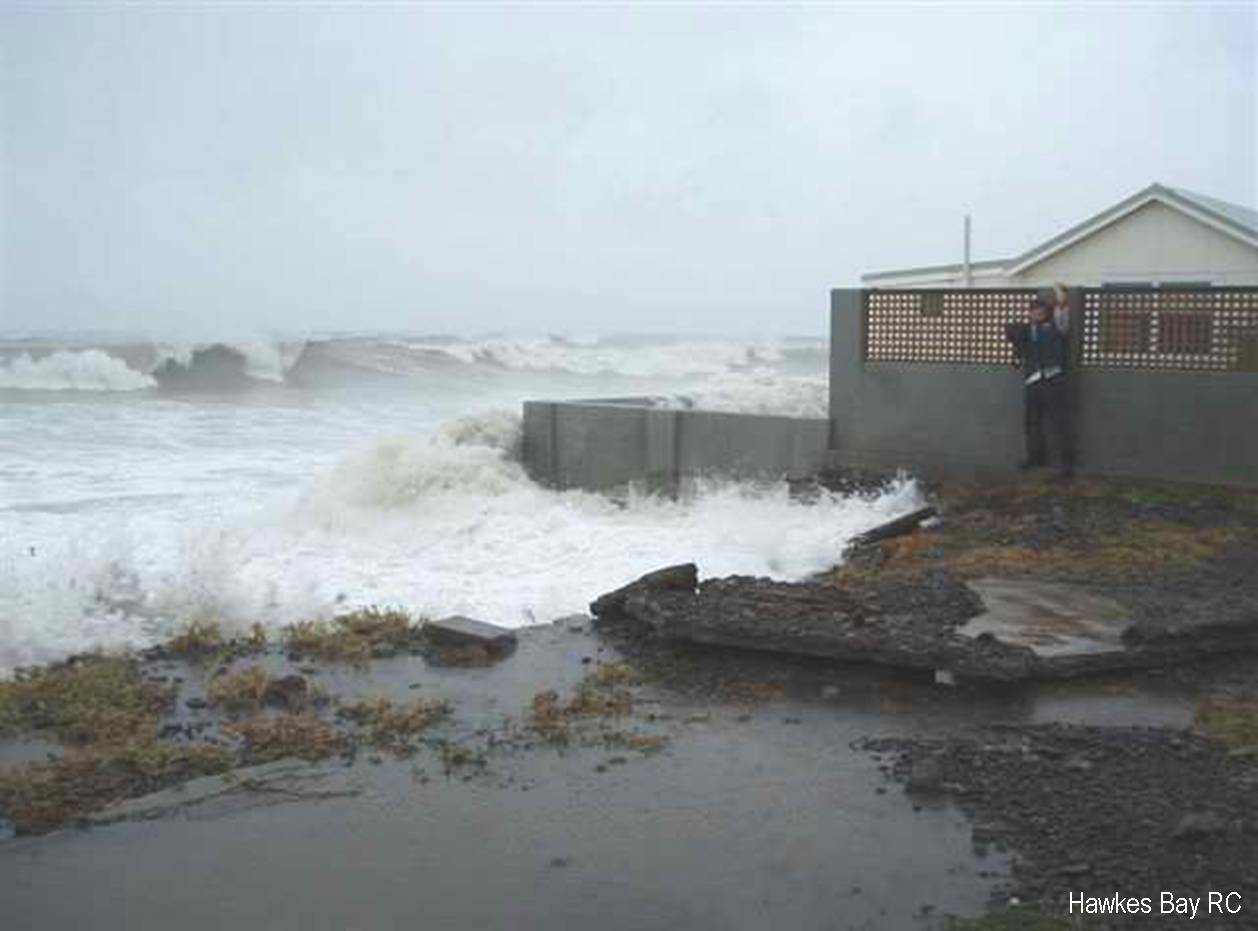
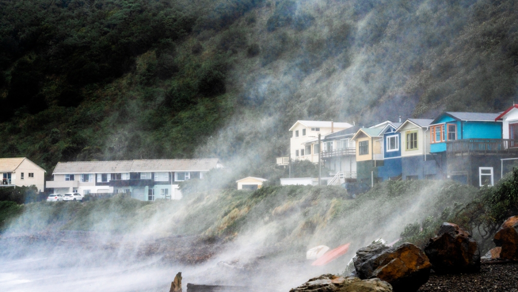
What will be the effects of sea level rise?
The Tools in Bin 2.2 demonstrate a process whereby tidal data and sea level rise projections can be used to estimate potential future coastal inundation.
Tool 2.2: Overview of sea level rise and storm surge tools
(PDF 215 KB)
- A brief overview of Tools 2.2.1 to 2.2.5.
Tool 2.2.1: Guidance on assessing sea level rise in New Zealand
(PDF 1.2 MB)
- This tool summarises the MfE (2009) coastal hazards and climate change guide.
Tool 2.2.2: Causes of sea level variation
(PDF 622 KB)
- Describes the "drivers" of sea-level variability, including waves, climate (e.g. El Niño Southern Oscillation), astronomical effects (e.g. tides), and storm surge.
Tool 2.2.3: Guidance on assessing extreme sea level in New Zealand
(PDF 519 KB)
- This tool provides a background to extreme sea-level analysis so that a reader can: 1) Understand how an extreme sea-level analysis works; 2) Select an appropriate method to analyse available data; 3) Understand the advantages and disadvantages of various extreme sea-level analysis methods; and 4) Interpret the output of an extreme sea-level analysis.
Tool 2.2.4: Inundation mapping of future high tides, SLR and storm surge
(PDF 1.6 MB)
- The purpose of this tool is to demonstrate a simple GIS-based method for the spatial mapping of coastal inundation.
Tool 2.2.5: Linkages to risk assessment, adaptation options and decision tools
(PDF 90 KB)
- This tool identifies the next stages in an assessment of coastal inundation impacts due to climate change.
Related links
- Other Urban Impacts Toolbox trays
- Climate variability and change
- NZ temperature record
- Climate change scenarios for New Zealand