-

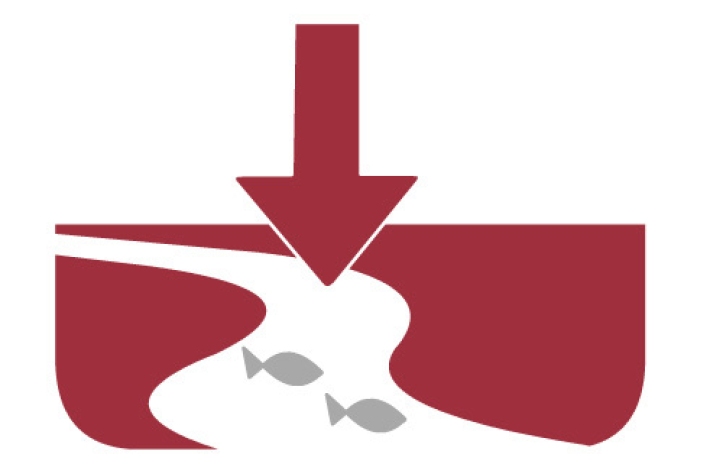
Mahinga kai and migration
A high proportion of New Zealand’s native freshwater fish fauna need to migrate to and from the sea. -
Chemical contamination and agriculture
What are the potential sources of chemical contamination from agricultural activities? -
Station details
Station height is in metres above mean sea level. Years of data are the number of complete years of data for the 1981 – 2010 period. -
Map Alpine
Education ResourceMountainous areas are subject to heavy snowfalls, high winds, and low temperatures. Semi-permanent snow and ice fields exist at about 1000-1100 metres during winter. -
Gisborne
In comparison with regions exposed to the west, Gisborne experiences a greater number of weather and climatic extremes. -
Tuna
Tuna or freshwater eels are a very significant, widely-valued, heavily-exploited, culturally iconic mahinga kai resource. -

The process
The process of coming to work with us has five steps: applying, a phone interview, a face to face interview, background checks, and an offer. -
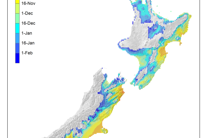
Average soil moisture deficit onset and termination maps
Maps of the average first and last dates of soil moisture deficit are shown here. -
Water clarity
Water clarity or turbidity is the cloudiness or haziness in a fluid caused by individual small particles (suspended solids). -
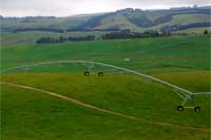
Impacts of hydro
Impacts of hydro-electric activities on water quality and mahinga kai.