
Flooding is a serious and complex challenge for many Pacific countries, especially volcanic and mountainous island nations where intense rainfall can move quickly through steep catchments and into communities, roads and critical infrastructure.
Strengthening flood early warning is a regional priority — not only to improve forecasts, but to ensure information can be managed, shared and acted on before lives and livelihoods are at risk.
With coordination from the World Meteorological Organization (WMO), the Regional Flood Early Warning Systems Framework (EWS-F) project is helping Fiji, Kiribati, Samoa, Solomon Islands, Tonga and Vanuatu work together on this shared challenge. The project brings together national agencies, regional organisations and technical partners to strengthen the systems, skills and processes needed to operationalise flood early warning across different island environments.
A key focus is the value countries can gain from shared approaches to hydrological data management, flood forecasting, impact-based forecasting and visualisation. Common tools and processes support country-led action while helping Pacific partners learn from one another, reduce duplication and contribute to regional aims for more effective, people-centred early warning systems.
In August 2026, representatives from all six countries came together in Nadi, Fiji, for a week-long regional workshop delivered by WMO, SPC and Earth Sciences New Zealand. ESNZ contributed technical advice and practical experience in flood modelling, data management and early warning operations, supporting countries to turn technical frameworks into practical warning services. Engagement highlighted the value of shared learning and collaboration, and WMO has since invited proposals to support implementation of the EWS-F framework in Vanuatu and Solomon Islands.
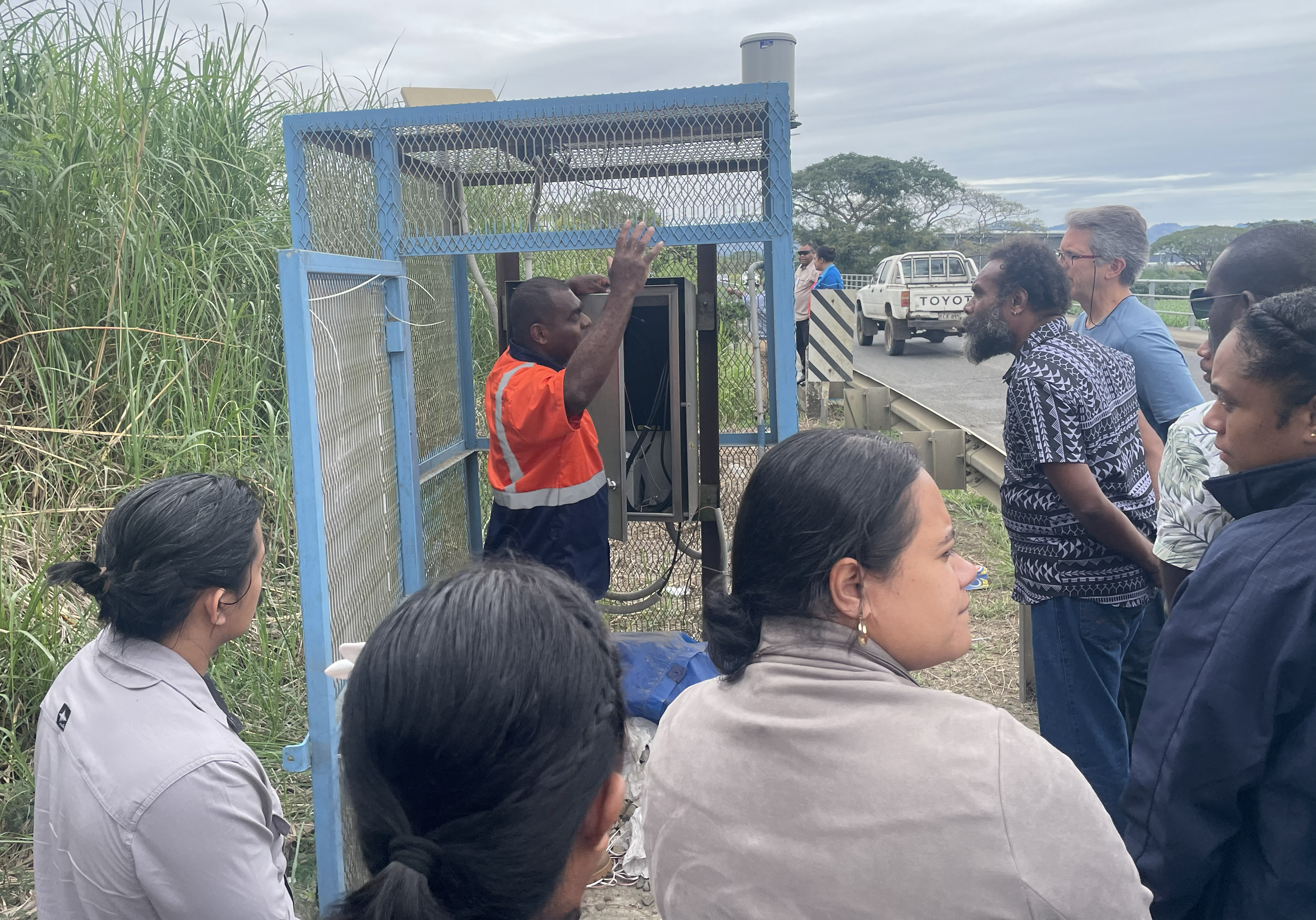
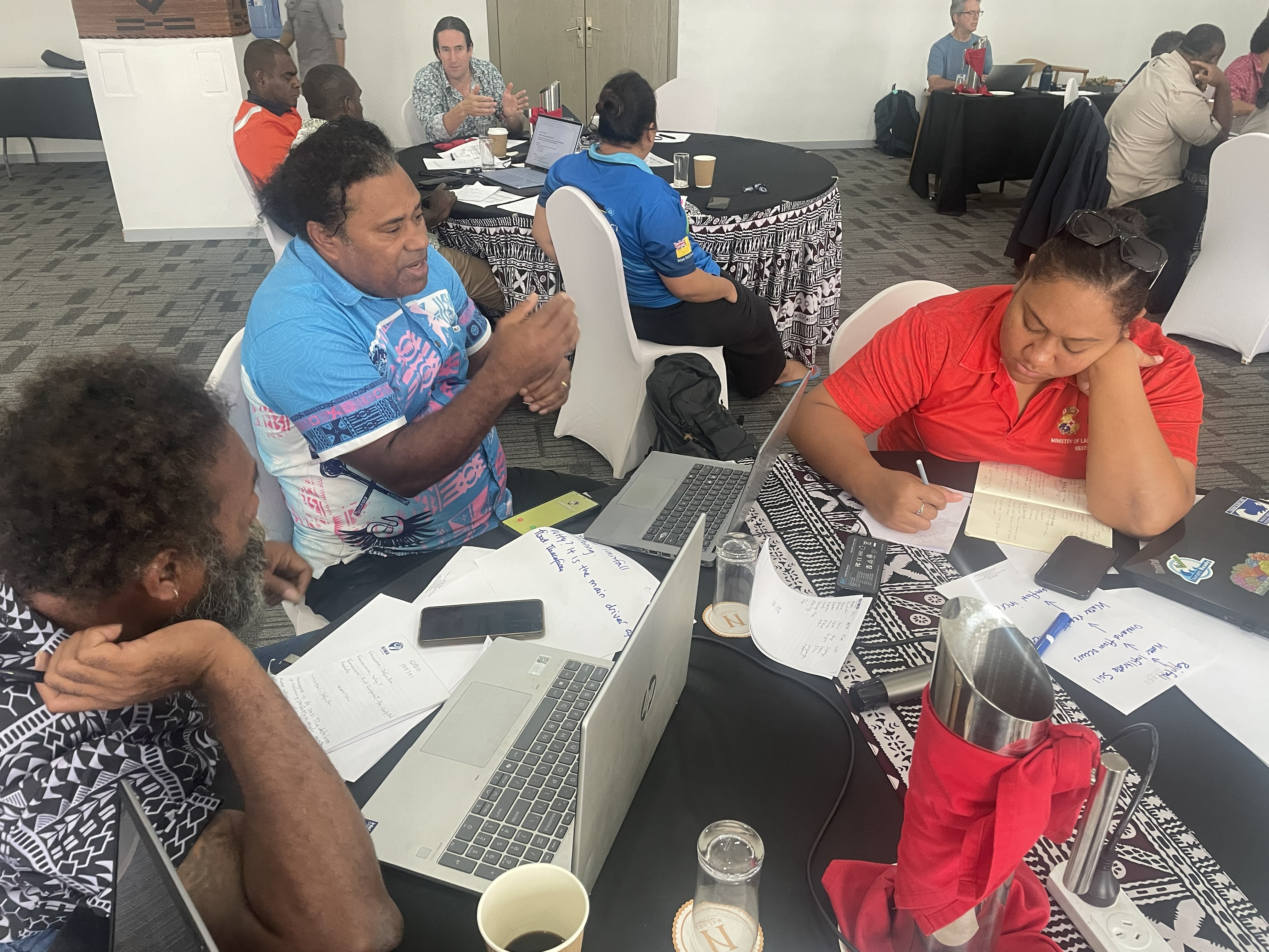
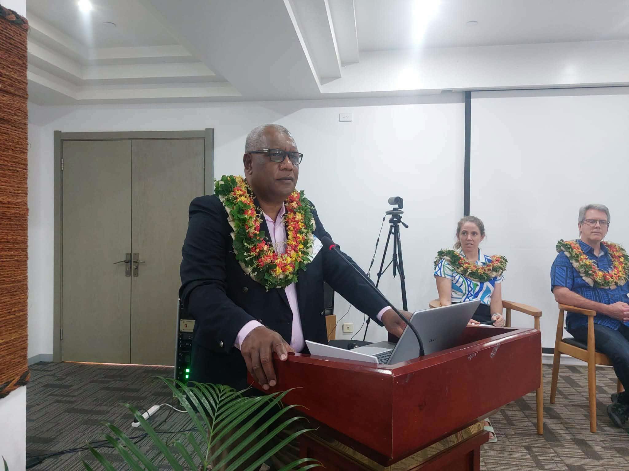
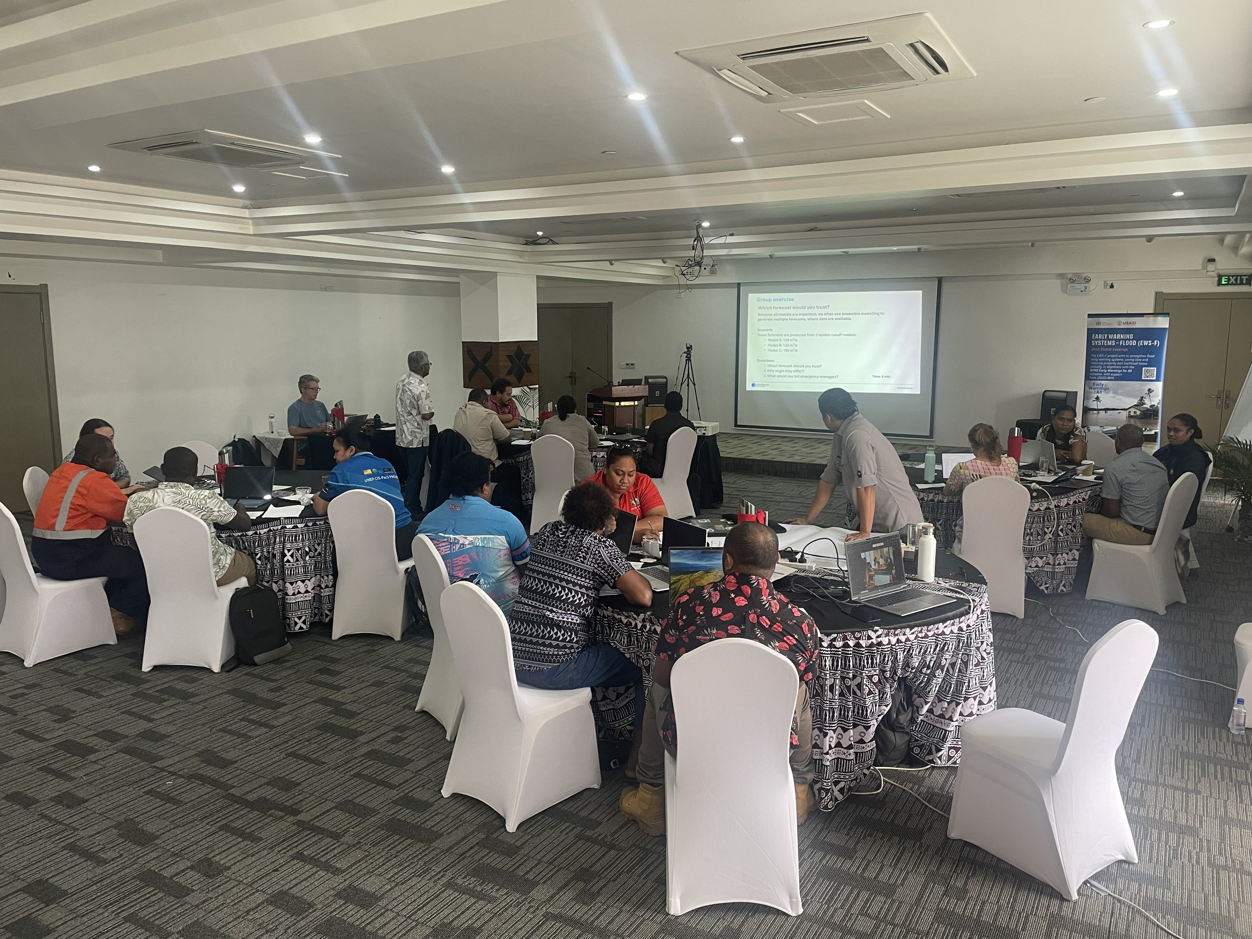
Participants in the WMO Regional Flood Early Warning Systems Framework (EWS-F) implementation workshop in Nadi, Fiji.