Vagaries of variability
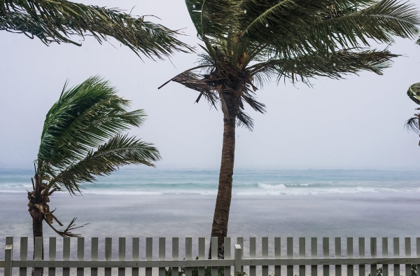
There’s good news and bad news on the weather front – tropical cyclones forming in the south-west Pacific are becoming less frequent but those that do form are likely to be more severe.
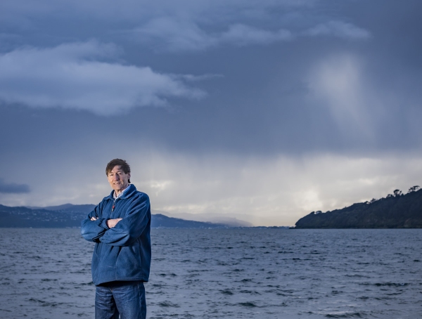
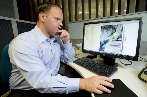
Chris Brandolino, NIWA Principal Scientist – Forecasting, says research suggests that tropical cyclone frequency globally appears likely to decrease with climate change, but the intensity of these cyclones will likely increase, along with the number of intense cyclones.
New Zealand copped the brunt of some severe cyclonic activity recently, with ex-tropical cyclones Debbie, Cook and Donna hitting the North Island in April and May. Dubbed the Tasman Tempest, the three ex-tropical cyclones brought heavy rain to parts of the country.
“What’s happened this year is likely due to natural variability,” Brandolino says. “Some years are busy and some are not. Perhaps more important was how cyclones were distributed. The first two-thirds of the season was very quiet. In fact, it was a record low start to the season.
“Then we had an uptick in tropical cyclones towards the very end of the season – I think the season as a whole got up to near or below average in terms of the number of cyclones for the Pacific south-west basin.”
Ex-tropical cyclones influencing New Zealand
Dr Brett Mullan, Principal Scientist – Climate, confirmed tropical cyclone activity across the south-west Pacific had, on the whole, been below normal this year.
“However, the situation was reversed as far as ex-tropical cyclones influencing New Zealand were concerned. The season has been very active, with three named ex-tropical cyclones influencing the North Island – Debbie on 4-5 April, Cook on 14-16 April and Donna on 11 May.
“The drivers of cyclone activity are sporadic in the tropics, and that was the case again this season,” said Dr Mullan.
“It can make a big difference to have a slow-moving mid-latitude cyclone in the ‘right place at the right time’ to help ‘drag’ the tropical cyclone south over the country, and we have had those this past autumn. These weather systems have been slow-moving, held up in the Tasman due to blocking highs further south and east.
“The other factor that could have played a role is anomalously warm sea surface temperatures over the autumn season, which has been experienced from east of Queensland down to around the North Island. Sea temperatures of 1°C or more warmer than normal could have played a role in maintaining the strength of the tropical cyclones as they came south.”
"For the globe, as a whole, there is scientific evidence for an increase in the number of tropical cyclones reaching the higher intensity levels" - Dr Brett Mullan.
Natural variability played a major role in the generation of tropical cyclones, and resulting impact on New Zealand. While the Tasman Tempest had raised the spectre of climate change as responsible for driving more intense systems onto the country, Dr Mullan said climate change was more likely another variable adding to natural variability.
“For the globe, as a whole, there is scientific evidence for an increase in the number of tropical cyclones reaching the higher intensity levels (3, 4 or 5), and this is probably true for the south-west Pacific region as well.
“However, when we look at just those ex-tropical cyclones that impact on New Zealand, the sample is much too small to infer anything about trends. The last very active season from a New Zealand perspective was 1997, when three extropical cyclones affected the country – Fergus and Dreena in January 1997, and Cyclone Gavin in March the same year.”
While the North Island had taken a battering from the Tasman Tempest, the East Coast had borne the brunt.
“Differences in vulnerability of western versus eastern parts of the North Island depend very much on the state of the El Nino-Southern Oscillation (ENSO),” said Dr Mullan.
“In El Nino periods, the cyclones are more likely to be west of Auckland as they approach New Zealand, whereas in ENSO-neutral or La Nina periods they tend to be to the east, affecting the Bay of Plenty and Gisborne/Napier regions. The latter situation prevailed this year.”
Forecasting models continuing to improve
NIWA is learning much more about tropical cyclone seasons and the potential impacts on New Zealand, with forecasting models continuing to improve.
"NIWA has access to one of the best global forecasting models in the world in the UK MetOffice Unified Model,” said Dr Mullan.
“At the seasonal time-scale, for assessing likely activity overa coming tropical cyclone season, we continue monitoring El Nino developments, and are pursuing further research into ENSO influences on tropical convection.”
[This feature appeared in Water & Atmosphere 19]


