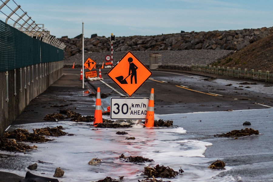
High waves pounding Wellington’s south coast today are being caused by a deep area of low pressure passing the Chatham Islands, according to NIWA forecaster Ben Noll.
Mr Noll said the low was responsible for generating strong winds and large waves between the Chathams and mainland New Zealand.
“For Wellington, the highest waves are expected to last into the mid afternoon before easing this evening,” he said.
High tide occurred just after 11am, which heightened the risk for inundation when combined with the big waves. Low tide will occur just after 5pm.
NIWA’s monitoring buoy at Baring Head has recorded a maximum wave height of 5.5 m so far today with waves in the open ocean to the east of New Zealand are modelled to be over 12 m in some areas.
“When large waves break, there is an increase in wave set-up. The water level becomes elevated, allowing waves to come further inland. This is in addition to having slightly elevated tides on the back of King Tides a few days ago,” Mr Noll said.
When combined with a deep low pressure system and strong winds, this increases the risk for coastal erosion and flooding along exposed coastlines.
Other contributing factors include a peak in wave period at high tide, waves arriving from a southerly direction in-line with the coast, and the shape of Owhiro Bay likely helped to further funnel water.


