While Tangaroa might be considered its flagship, NIWA’s extensive range of maritime work could not be completed without the support vessels Kaharoa and Ikatere.
NIWA’s fleet has capabilities exceeding those offered by many international research vessels.
When NIWA’s vessels are not at sea, Tangaroa, Kaharoa and Ikatere can be spotted on Wellington’s waterfront.
Kaharoa trawling for scampi to assess abundance
The task of quantifying New Zealand’s scampi supply, worth $20 million in annual exports, has been charged to Kaharoa and her crew this year.
The project involves a 45-day voyage to the Auckland Islands trawling for scampi to assess abundance. The rough and sub-Antarctic waters are no challenge for Kaharoa, which has travelled more than 75,000 nautical miles in her time.
The vessel’s trawl depth of 600m makes it perfect for surveying marine life such as scampi, which spend much of their adult life on the muddy sea floor in burrows. While a trawl can give scientists an indication of abundance, Kaharoa is also able to deploy underwater cameras to examine the burrows in which scampi live.
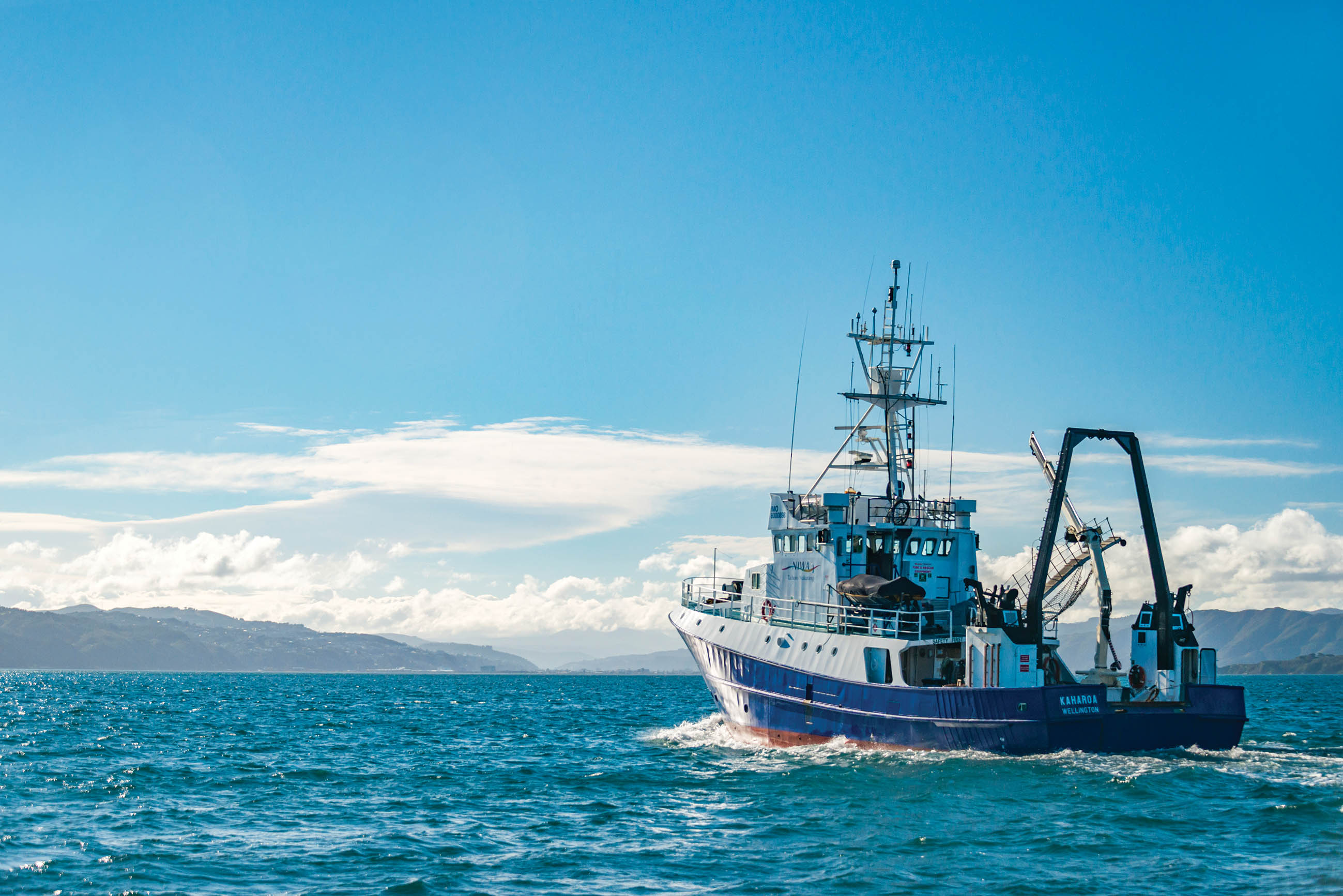
Additional to trawl survey work, Kaharoa is equipped to support acoustic measurement of fish abundance, provide dive support and complete survey work in biology, ecology, geology and sedimentology. With space for five scientific staff, five crew and an eight-tonne insulated ice hold, Kaharoa is proving itself to be much more than just Tangaroa’s kid sister.
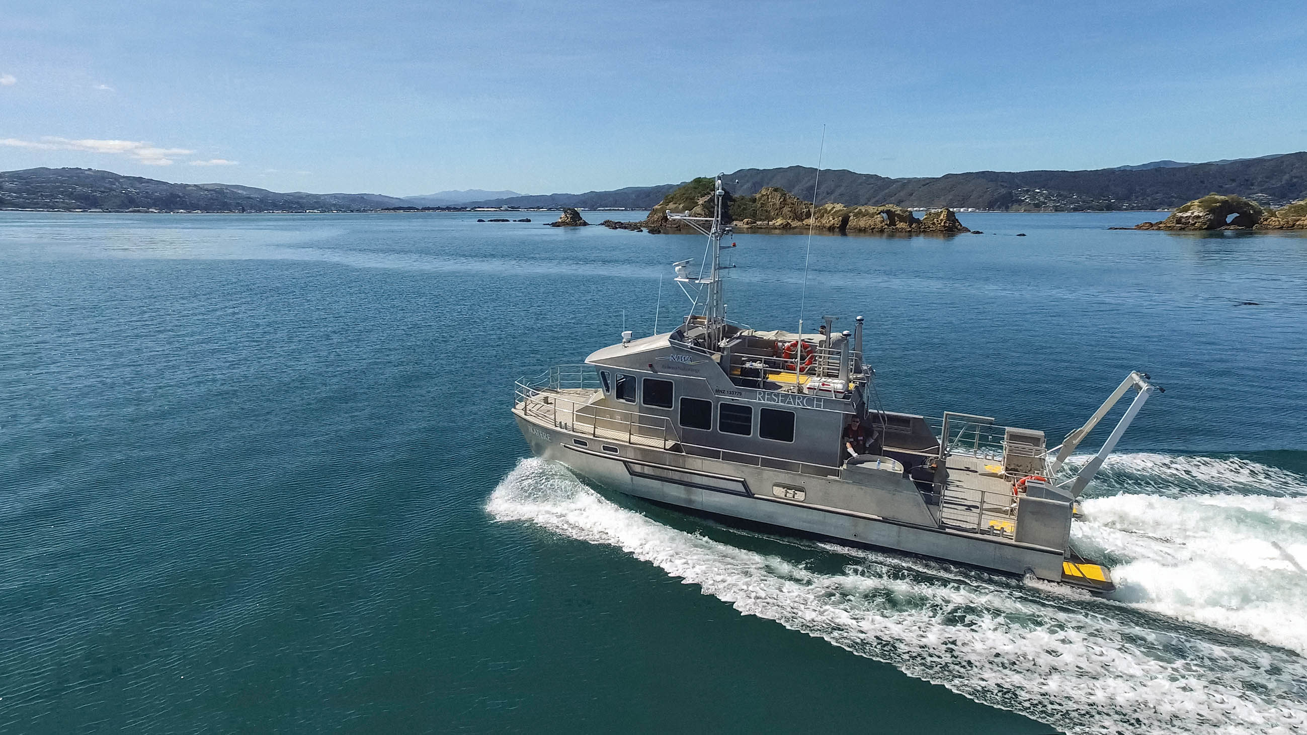
Ikatere (Grandchild of Tangaroa)
At almost 14m long and fitted with two Hamilton jet engines, Ikatere is fast, nimble and versatile.
Built in 2009, the vessel’s Dynamic Positioning System allows it to stay on location when completing work such as deploying buoys, moorings, seabed sampling and bathymetric mapping.
In January, Ikatere was commissioned to take part in a blue whale study off the Taranaki coastline.
Scientists from Oregon State University and the Department of Conservation were able to deploy hydrophones off the vessel and down to the sea floor to record vocalisation from a congregation of blue whales. The recordings gave the researchers an indication of the location of the whales and assisted in mapping their movement patterns.
From Ikatere, they could also photograph whales for identification, launch drones to capture aerial footage and take tissue samples from the whales for isotopic analysis.
Alongside the larger vessels, NIWA operates about 30 other Maritime New Zealand-certified vessels.
But, while they have some very sophisticated equipment and vessels at hand, NIWA scientists go back to the basics when the job is right – often using small, non-motorised craft such as kayaks, canoes and aluminium dinghies or inflatables to visit remote sites on ponds, lakes, rivers and estuaries.