It is well known that earthquakes can trigger tsunami. We’ve all seen the warning signs: “If an earthquake is long or strong, get gone”. What few New Zealanders know, however, is that tsunami can also be caused by landslides – with devastating effects.
In fact, right now New Zealand’s eastern coastline is at risk of landslide-induced tsunami, courtesy of the large submarine canyons that surround our coastline, and a dynamic tectonically active seafloor landscape.
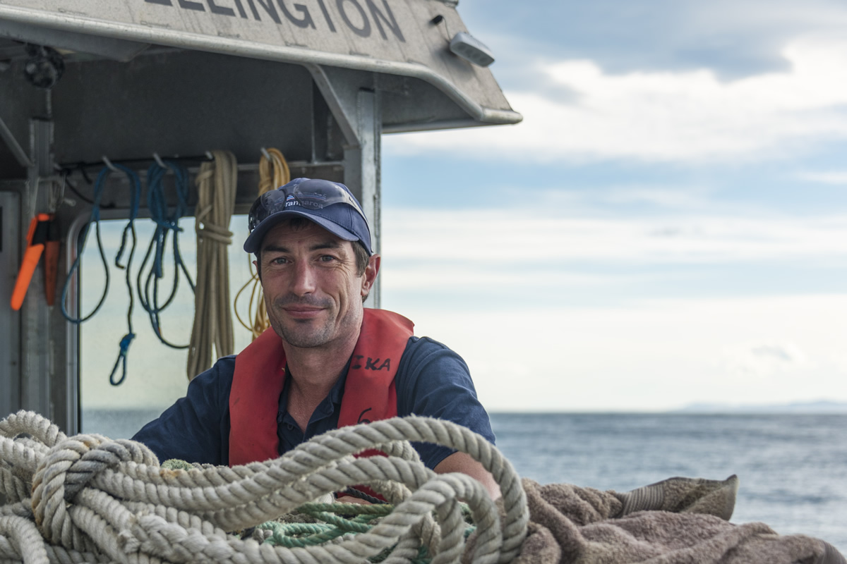
Learning what lies beneath both the waves and ocean floor is fundamental to assessing hazard to underpin hazard management plans. For NIWA’s Dr Joshu Mountjoy, the Kaikoura earthquake provided a huge learning opportunity for landslide and tsunami hazard science.
“The tsunami following the 2016 Kaikoura earthquake was relatively small but it was still the most significant event in around 50 years. Being onsite at the time and in the following months, we were able to document changes to the seabed and it has revealed some exciting science,” Dr Mountjoy said.
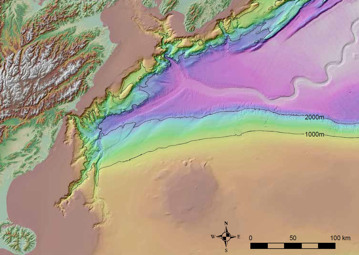
“In January 2017, we surveyed down to 2000m and discovered that large areas of the Kaikoura Canyon have drastically changed. Sediment has been transported from the Kaikoura canyon at least 300km north to the deep ocean floor offshore Wairarapa. The earthquake shook loose a huge amount of mud from the canyon rim that then flowed down into the canyon channel. As it accelerated downslope, this material appears to have eroded deeply into the canyon floor and ignited into a critical condition we call ‘autosuspension’. Amazingly, in this condition, sediment can flow indefinitely across the ocean floor. We know the deep sea Hikurangi Channel is 1500km long and this flow may have travelled the full length of it. No one has ever directly observed this process before – it is an amazing opportunity.”
Canyon has potential to generate large landslide tsunami
Previous NIWA research revealed that the canyon had the potential to generate large landslide tsunami. The NIWA team is now in the process of pulling together data from its January expedition to see if the canyon has been further destabilised and if the tsunami potential has increased or decreased.
Further up the coast, Dr Mountjoy is studying the slow moving Tuaheni submarine landslide complex, off the coast of Gisborne – one of the few active submarine landslides in the world. Slow landslides like this might actually reduce the potential tsunami hazard so understanding the underlying controls is very important for accurate hazard assessments.
Together with Dr Gareth Crutchley from GNS Science, Dr Mountjoy received a Marsden Fund grant this year to assess whether pockets of gas-trapped landslides can control active landsliding on the seafloor. The duo is assessing 3D seismic data and core samples collected from last year’s RV Sonne expedition for evidence of pressurised gas and liquefaction in the landslide.
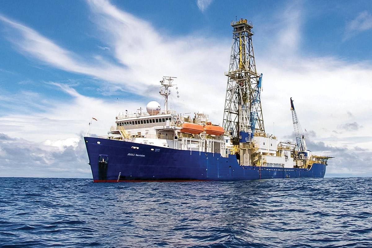
The research dovetails NIWA and GNS Science’s slow-slip earthquake investigations which, as Dr Mountjoy pointed out, is the “major discovery of this century” when it comes to earthquake hazard. He will join the International Ocean Discovery Programme’s drillship JOIDES Resolution expedition in November 2017 to sample the sub-seafloor of the Tuaheni landslide.
“The Tuaheni landslide covers an area roughly the size of Auckland and is slowly moving downslope like a glacier. This is the first example of an active landslide globally and has changed our understanding of seafloor landslides,” Dr Mountjoy said.
“Large landslides on the seafloor can move mountain-scale size pieces of rock and mud and have caused some of the largest tsunami in human history. To calculate the potential for causing large tsunami we need to understand how fast landslides move and what causes them to collapse. This scientific drilling project using JOIDES Resolution will give us the information we need to understand the tsunami hazard and help plan for the appropriate civil defence response.”
[This feature appeared in Water & Atmosphere 19]
