-
Beautiful Browns
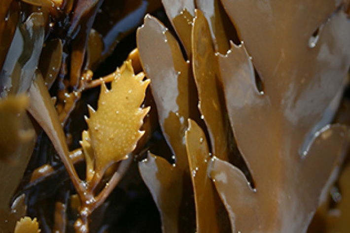
News article16 September 2016Do you know where in New Zealand to find Neptune’s necklace or rimurapa? Or how to tell apart Carpophyllum from Cystophora? -
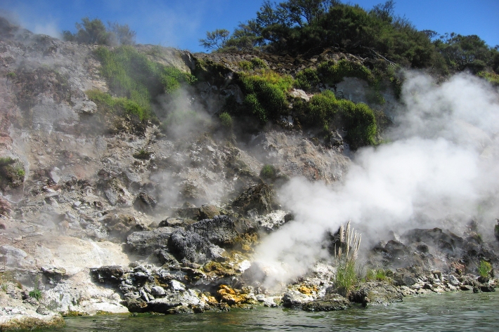
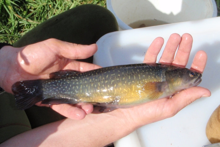
Mercury biomagnification in three geothermally-influenced lakes differing in chemistry and algal biomass
Research ProjectThis research project aimed to understand the causes behind differences in mercury in trout and other organisms in the Bay of Plenty/Te Arawa lakes—in particular what features of each lake explain why mercury in trout is higher in some lakes than in other lakes. -
Flow requirements for galaxiid fish spawning
Research ProjectMany of our iconic native fish species, such as whitebait and eels, rely on river flows to cue key life-cycle stages, including migration and reproduction. As pressures on water resources increase, the risk of disrupting these flow cues, and therefore impacting fish populations, becomes greater. -
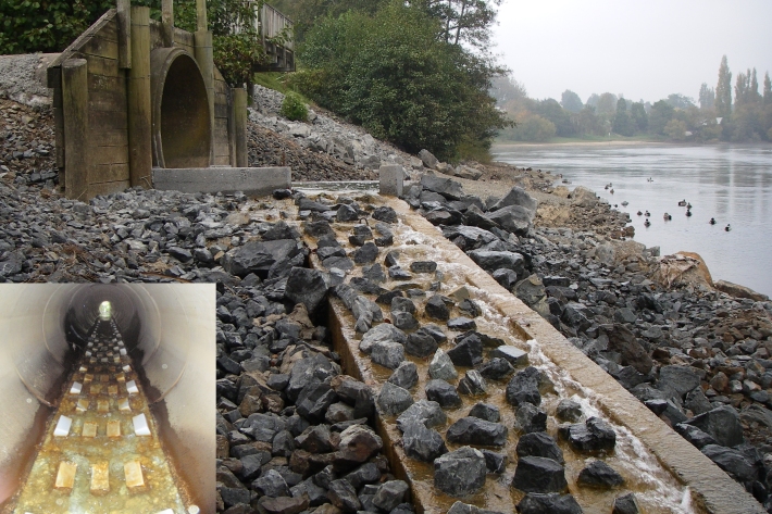
Understanding fish passage in New Zealand
Research ProjectNIWA scientists have been investigating the different capabilities of our native freshwater fish species in order to help design effective solutions for overcoming barriers to migration -
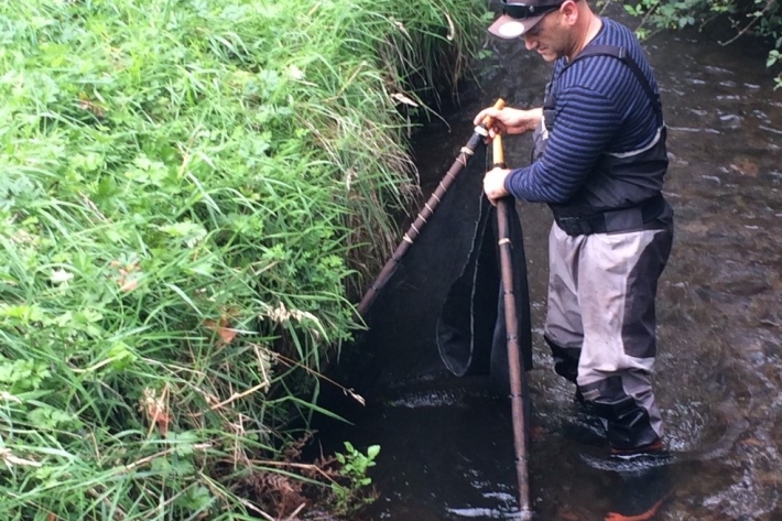
Tau kōura sample collection and processing protocol
Tau kōura is a traditional Māori fishing method commonly used to harvest kōura or freshwater crayfish in areas where they are abundant. -
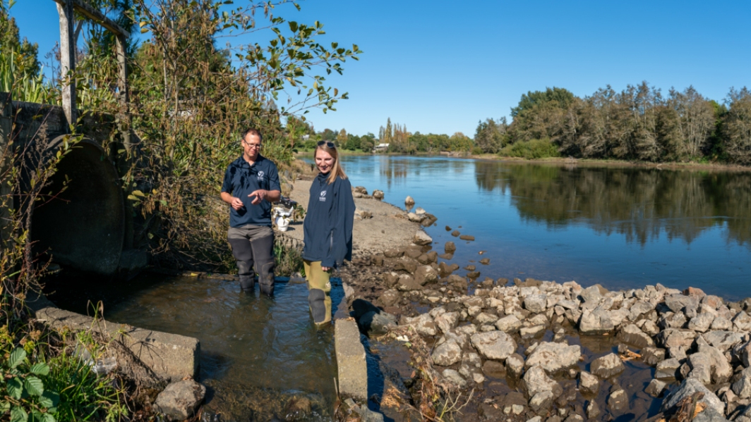
Report on Waikato and Waipa rivers sets benchmark
Media release23 March 2016A whole of catchment Report Card for the Waikato and Waipa rivers has been released by the Waikato River Authority giving the catchment an anticipated low rating for its wellbeing. -

NIWA completes first bathymetric mapping of Lake Tekapo
Media release17 March 2016NIWA researchers have spent part of the last month keeping a close eye on the bottom of Lake Tekapo to find out what it looks like and what is going on below the lake bed. -
New Zealand's best job?
NIWA environmental monitoring technicians Evan Baddock and Eric Stevens venture deep into Fiordland, NZ to monitor river and lake levels in the area. -
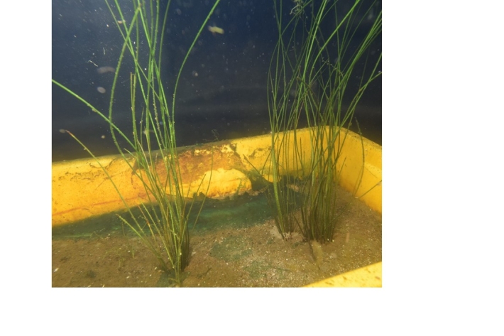
Recovering plants for reintroduction to Lake Ōmāpere
Research ProjectThree plants of an endemic submerged quillwort (Isoëtes) were recovered from Lake Ōmāpere by NIWA in 1998, prior to the lake weed (Egeria densa) dying off and the lake switching into an algal dominated turbid state. No further isoëtes plants have been observed in the lake since that time.