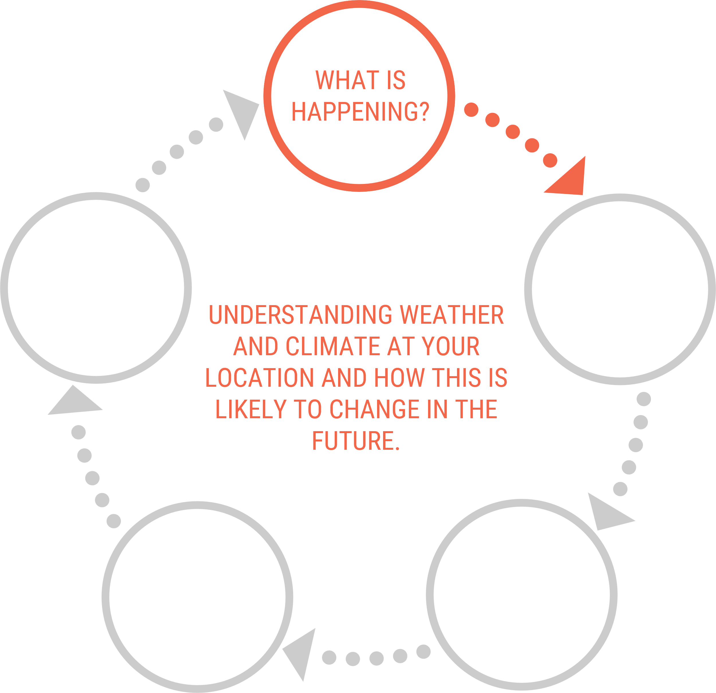
In our research we aim to map the migration space or elevation capital for coastal habitats under sea-level-rise.
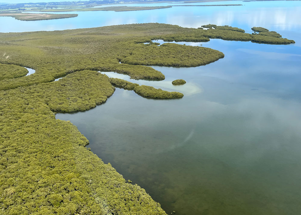
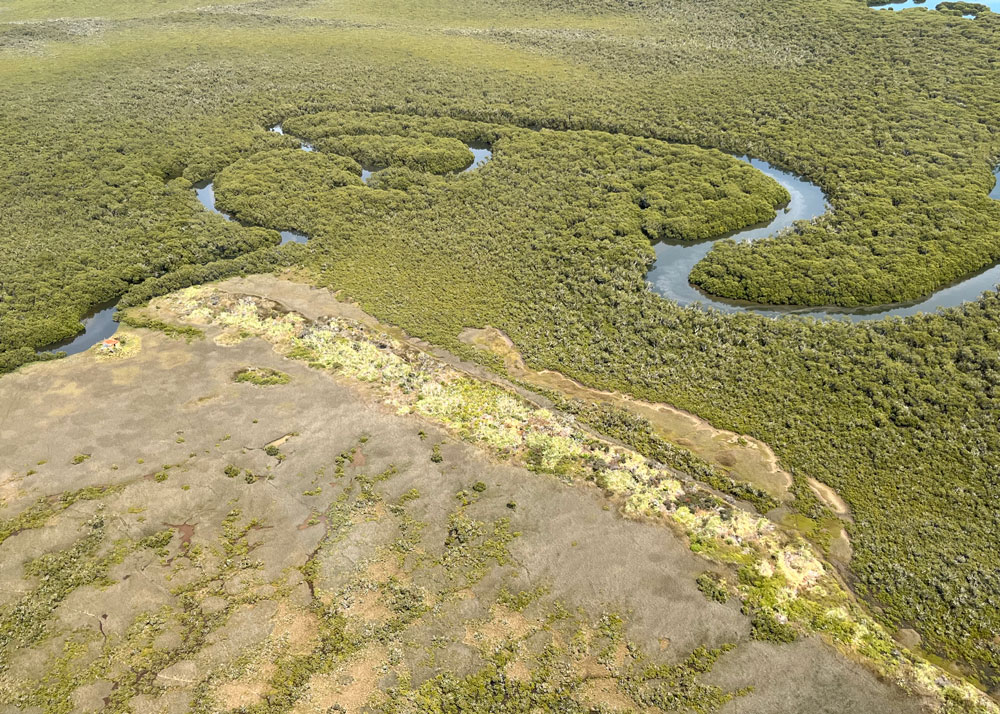
As sea level rises, coastal land is inundated and can become suitable for colonisation by coastal organisms such as saltmarshes, mangroves, and seagrasses.
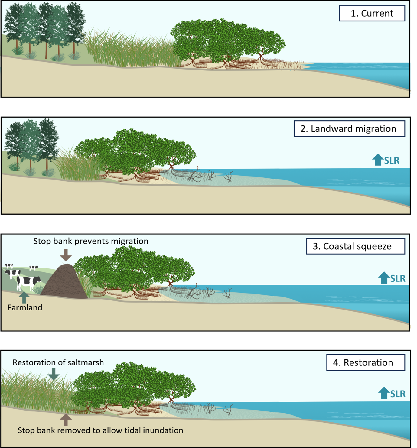
To determine if there is space for habitats to migrate inland, we will predict what coastal areas will become inundated under a range of sea level rise scenarios. In some cases, urban developments such as sea walls, roads, or settlements with inhibit inland migration – this is known as coastal squeeze. In other areas, natural barriers such as hills will block migration. In connected areas, with no barriers (human-made or elevation), there will be greater opportunity for inland migration under sea level rise – this is called elevation capital.
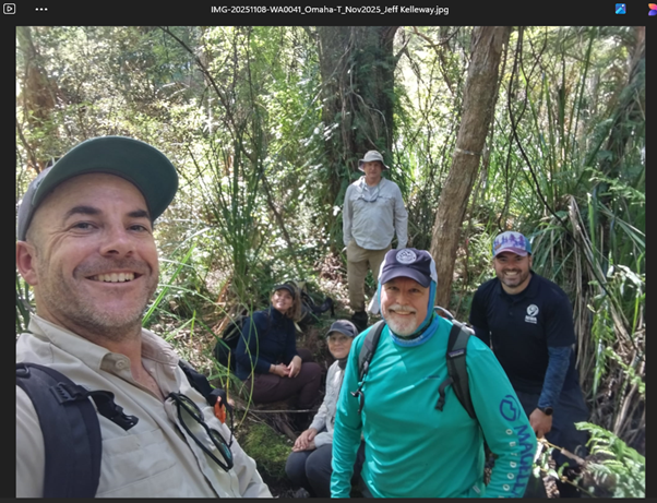
We will map these processes at case study sites around Aotearoa, NZ.
Project updates:
August 2025 update
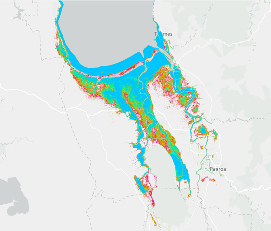
We are currently mapping the potential future changes in the distribution of saltmarsh, mangroves and seagrass associated with present sea level and sea level rise (SLR) over the next century, in 50 estuaries nationwide.
Tidal water levels for the estuaries from a new version of the NZ Tide Model were used to calculate estuarine-level tidal statistics and habitat maps to determine the current standard tidal position of saltmarsh, mangroves and seagrass in each estuary. This information will be used to predict what habitats could be restored and could contribute to a future blue carbon method for Aotearoa New Zealand. We are estimating how much of the current area of habitats we would expect to be inundated (i.e., lost) under future sea level rise.
We are also projecting habitat migration inland/upslope for several SLR scenarios, to show in which estuaries the habitat will naturally migrate inland and areas within estuaries and their fringing lowlands where migration will be constrained by infrastructure (e.g., stopbanks, roads – coastal squeeze), indicating areas where interventions—such as restoring tidal flows— are needed to support migration.
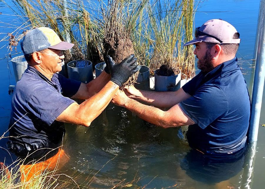
Organic (blue) carbon sequestration has been determined across a range of intertidal coastal wetland habitats at case study sites, in Northland, Auckland, Waikato, Bay of Plenty and Canterbury. Habitats surveyed include mangrove, saltmarsh, manuka and kahikatea. The manuka and kahikatea are supra-tidal systems meaning that they occur immediately above high spring tides and are rarely submerged. There is growing international interest in these supra-tidal forests as blue carbon sinks.
The key findings of the surveys completed to date show that:
- These supra-tidal forests are blue carbon hotspots, sequestering up to five times more blue carbon (range: 79–245 MgC/ha) than mangroves and saltmarsh (range: 40–141 MgC/ha).
- As much as 80% of the blue carbon stored in these wetlands has been sequestered in just the last 100 years, representing less than 2% of the sedimentary record sampled (i.e, ~6,500 year).
- Blue carbon accumulates more rapidly (i.e., × 5) in young coastal wetlands in comparison to older wetland systems that formed 80+ years ago.
December 2025 update
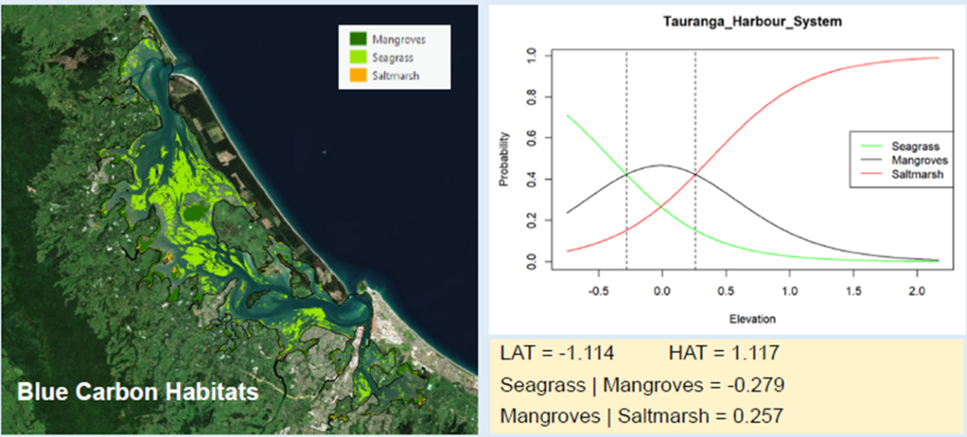
Mapping the present tidal position of coastal wetlands and projecting changes in their potential future extent over the coming decades under a range of sea-level rise (SLR) projections has been substantial progressed over the last several months. The evaluation of the current tidal position of mangroves saltmarsh and seagrass in the 50 study estuaries across New Zealand has been completed Our findings identified the suitable tidal ranges for these coastal wetland habitats.
A major finding is that saltmarshes occur at lower intertidal positions and are therefore more tolerant to inundation than expected. The percentage duration of tidal inundation over the long term (i.e., months to years) is commonly referred to as hydroperiod. By establishing the tidal position and resulting hydroperiods of coastal wetlands, we can assess habitat vulnerability and potential migration under future SLR scenarios. The projections of areas of inundated rural lowlands suitable for coastal wetland migration and restoration under a range of SLR scenarios is currently nearing completion.
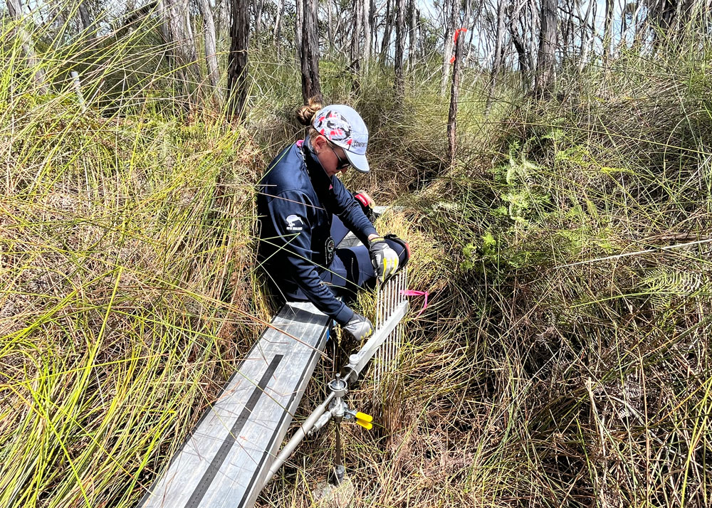
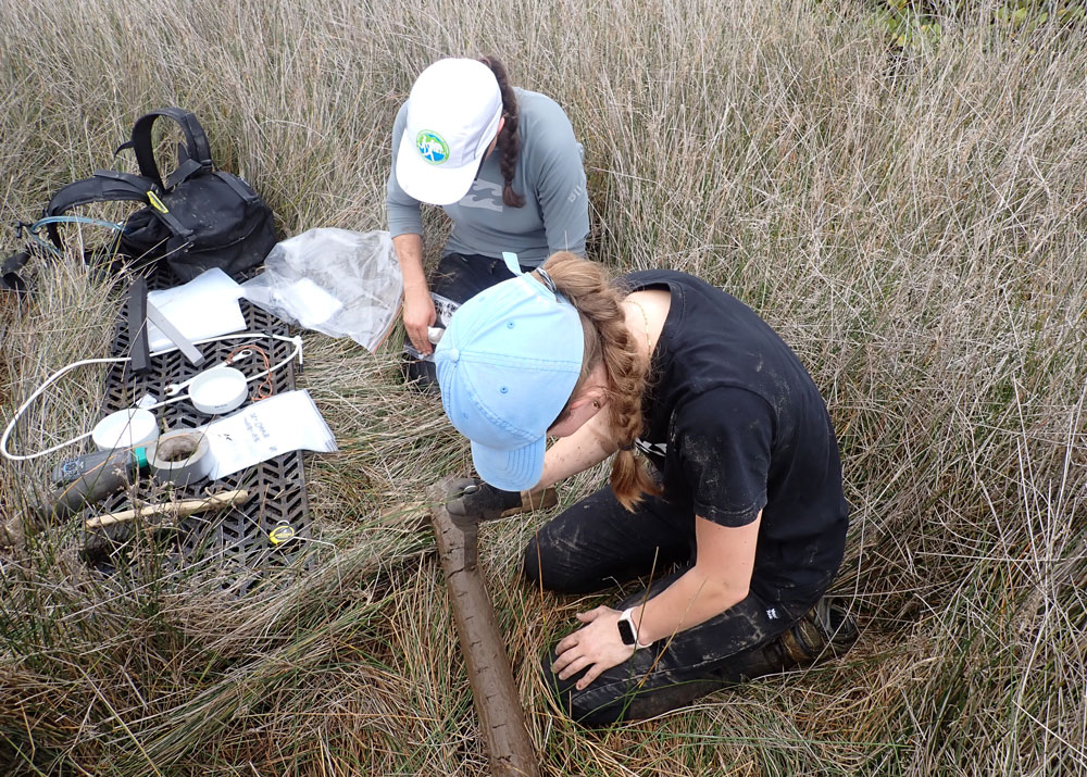
The finding that salt marsh is likely more resilient to increased hydroperiod than expected is supported by complimentary evidence being provided by a one-year marsh organ experiment, nearing completion in Tauranga Harbour (see Aug 2025 update).
Preliminary results from the marsh organ mesocosm experiment are indicating that there are strong differences between the two common NZ marsh species, Apodasmia similis (wire rush, Oioi) and Juncus kraussii (sea rush).
Specifically, Juncus is overall more resilient than Apodasmia to increased hydroperiods, with Juncus readily adapting to 66% and 97% hydroperiod treatments (c.f., typical value for present tidal position ~30%).
By contrast, the progress loss of stems and reduced physiological condition of Apodasmia at these increased hydroperiods suggest that this common species is poorly adapted to SLR-induced increases in hydroperiod.


This work was undertaken under the Future Coasts Aotearoa programme Research Aim 1.