-
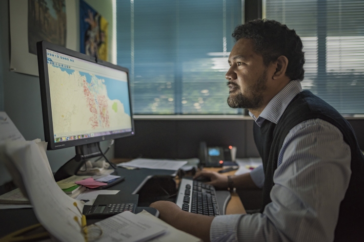
PARTneR (Pacific Risk Tool for Resilience)
Research ProjectUnderstanding how hazards impact people and the environment provides the foundation for informed decision making for a resilient Pacific. -

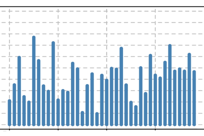
Mean 10cm earth temperature (°C)
These datasets are available in a range of formats. -
Map C North
Education ResourceAs this region is sheltered by high country to the south and east, it has less wind than many other parts of New Zealand. -
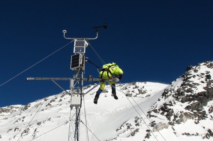
Regional modelling of New Zealand climate
Research ProjectDeveloping probabilistic scenarios of expected future regional climate changes. -
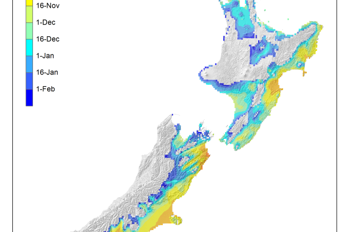
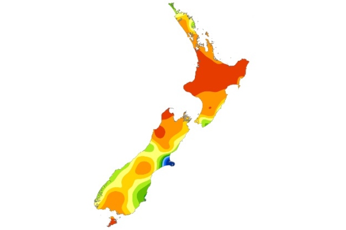
Average soil moisture deficit onset and termination maps
Maps of the average first and last dates of soil moisture deficit are shown here. -
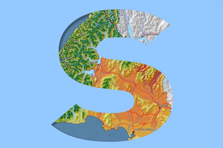
Southland
Southland is both the most southerly and most westerly part of New Zealand and generally is the first to be influenced by weather systems moving onto the country from the west or south. -
Map Chatham
Education ResourceExtremes of temperature are rare as the Chatham Islands are small land masses surrounded by sea. -
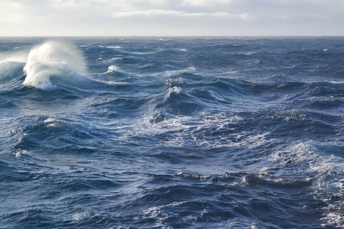
What is ocean acidification?
Education ResourceOcean acidification is the name given to the lowering of pH of the oceans as a result of increasing carbon dioxide (CO2) in the atmosphere.