
-
HIRDSv4 Usage
ESNZ's High Intensity Rainfall Design System (HIRDS) offers planners and engineers more certainty about the frequency of high-intensity rainfall events, enabling them to better design stormwater drainage, flood defence systems and other vital structures. -

Tornadoes - how frequently do they hit New Zealand?
News article06 June 2017Tornadoes, like the one that hit Auckland's western suburbs today, are relatively rare events in New Zealand. -
Ideas for projects using climate data
Education ResourceIdeas for projects using climate data -

Tonga volcano “afterglow” causes dazzling skies in Antarctica
Media release06 June 2017Antarctica is experiencing stunning skyscapes like those recently seen in New Zealand, thanks to the afterglow effect from the Tongan volcano. -
Assessment of crop and tree species growing potential using climate, soil and topographic information
Research ProjectThis project demonstrates how to assess high value alternative land-use options by means of a quantitative analysis of the growing potential of selected niche crops and tree species. -

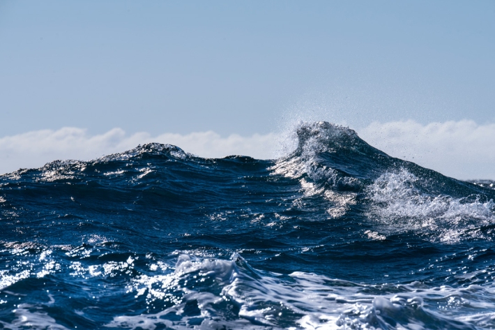
Wave hazard research
Research ProjectNIWA collects wave data, develops and verifies wave forecasting systems, and is developing and producing wave projections. -
Definitions of drought
There are several definitions of drought, depending upon whether it is viewed as a hazard or a risk. -
Lesson 9: Ngā Tohu o te Taiao – Māori environmental indicators
Education ResourceThis lesson will explore the use of Māori environmental indicators [tohu] to anticipate local weather and climate conditions. -
Special Climate Statement 2017-18 Summer
Sea surface temperatures in the southern Tasman Sea rose to exceptionally high levels in late 2017 and early 2018. These temperatures were far above any others previously observed at that time of year in the region, and extended west from New Zealand to Tasmania and mainland southeast Australia.
