-
Mapping the oceans through citizen science
The Seabed 2030 South and West Pacific Ocean Data Center is one of four global Regional Centres, each being responsible for data gathering and mapping in their territory. -
CKS2020 - Building Aotearoa-New Zealand Research Capability
In collaboration with the University of Waikato, the CKS team has also supported students and scholarship interns through a variety of practical experiences. -
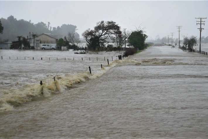
Public asked to help build national flood photo database
Media release15 February 2022NIWA is asking people in flood-affected areas to contribute photos to a national database to support understanding of flood hazard and flood risk. -
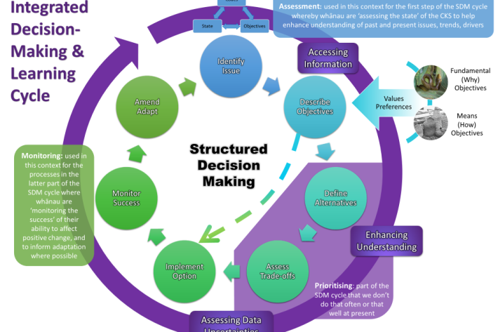
CKS2020 - Developing tools and frameworks
This programme developed approaches to enable the recognition and prioritisation of cultural keystone species (CKS) in co-management, restoration and monitoring to help sustain the social, economic and ecological health and wellbeing of Aotearoa-New Zealand’s freshwater ecosystems. -
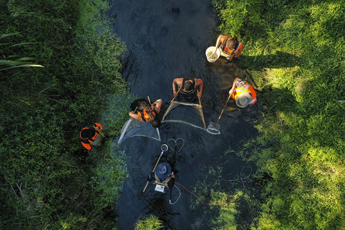
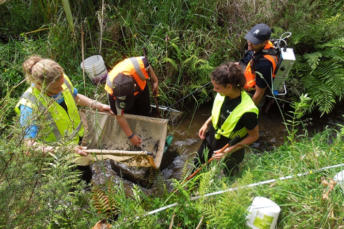
CKS2020 - Protecting our taonga together
Research projects within the Cultural Keystone Species programme where Mana Whenua undertake the fundamental research required to inform their unique responsibilities as kaitiaki. -
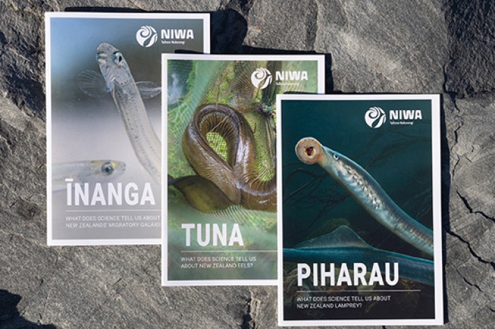
CKS2020 - Communicating state and trends
New ways to communicate the state and trends of taonga populations. -
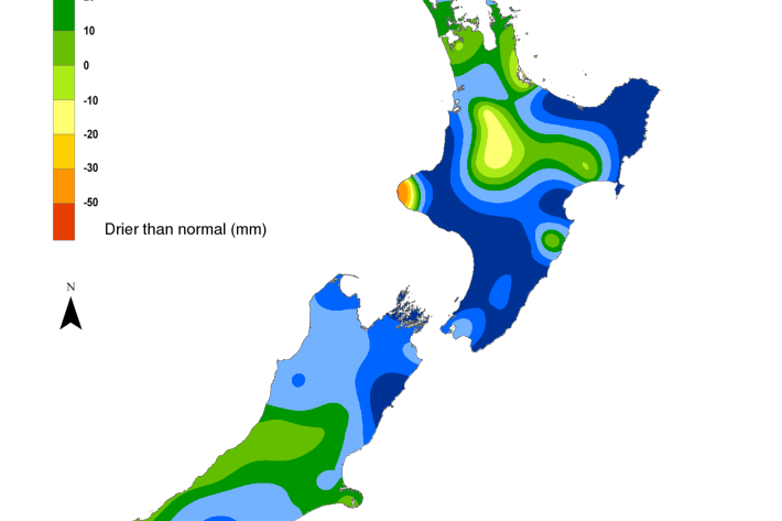
Hotspot Watch 10 February 2022
Hotspot10 February 2022A weekly update describing soil moisture patterns across the country to show where dry to extremely dry conditions are occurring or imminent. Regions experiencing significant soil moisture deficits are deemed “hotspots”. Persistent hotspot regions have the potential to develop into drought. -
Waikato Dynamic Models Project Proposal
Protection of the Awa Models enable us to predict how different uses of the land and water will impact river and stream health. -
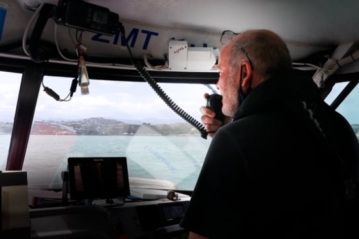
The positives of Wellington’s wet weather: marine pest control
Media release08 February 2022The tempestuous wet weather may have dampened Wellingtonians' spirits at the beginning of summer, but it had at least one positive effect - killing some unwanted species in the harbour. -

Hotspot Watch 4 February 2022
Hotspot04 February 2022A weekly update describing soil moisture patterns across the country to show where dry to extremely dry conditions are occurring or imminent. -
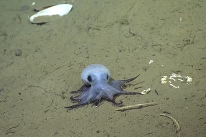
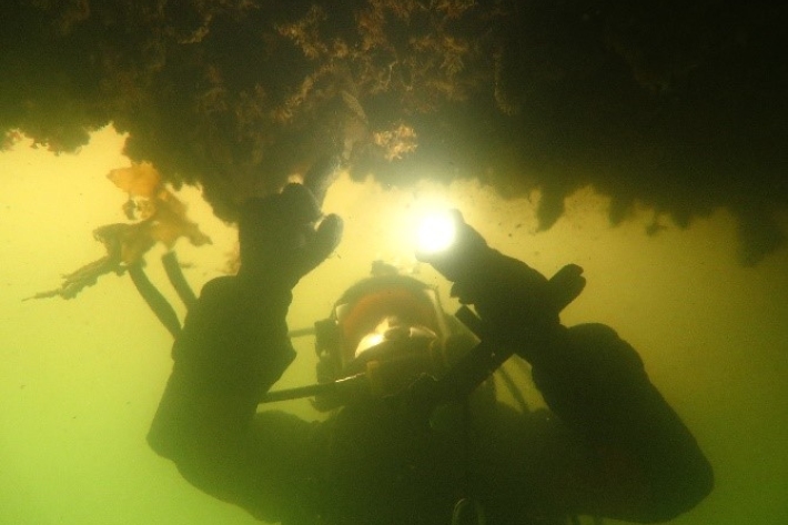
Exploring deep-sea oases
Deep below the ocean surface, life thrives in a world once thought to be inhospitable. -
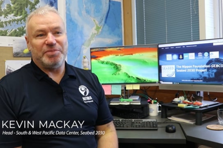
Seabed 2030
Did you know NIWA is leading a NZ partnership in a worldwide initiative to map the entire globe’s seafloor? Found out more about the Seabed 2030 initiative.