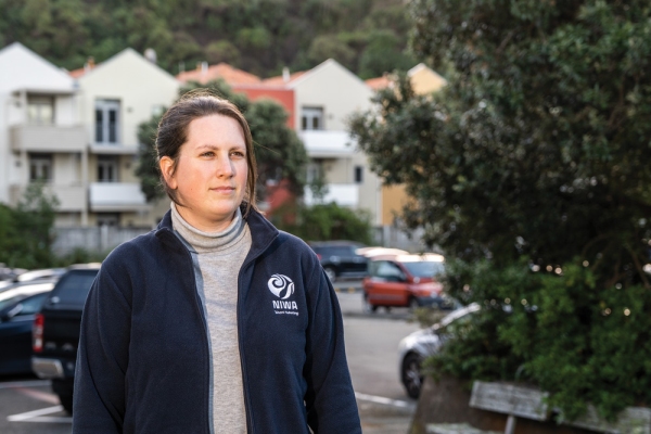
Dr Sara Mikaloff-Fletcher is all concentration.
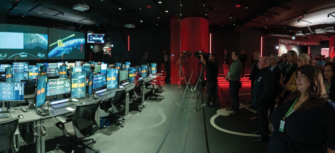
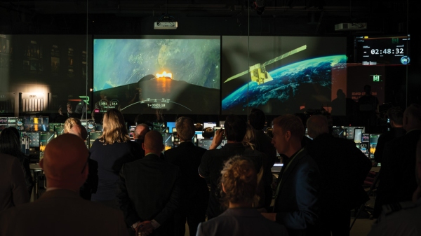
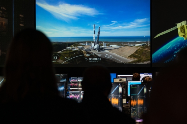
She is standing in Rocket Lab’s Penrose mission control centre, watching the final countdown for the launch of a 70m-tall Falcon 9 rocket from California’s Vandenburg Space Force Base.
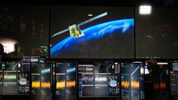
If the launch goes to plan, in little over an hour the second stage of Falcon 9 will release MethaneSAT – a state-of-the-art methane (CH4) sensing satellite – on a five-year mission, orbiting 600km above the Earth, 15 times a day.
The launch marks a key milestone in Mikaloff-Fletcher’s professional commitment to explore new ways of accurately measuring global greenhouse gas emissions to curb climate change.
She has always been fascinated by space and revels in her current role as leader of MethaneSAT’s agricultural science programme.
“It’s basically the closest I could ever possibly get to my actual dream job – Chief Science Officer aboard the Starship Enterprise.”
Fighting climate change from space
The United States-New Zealand MethaneSAT mission is a $140 million programme targeted at detecting, with unprecedented accuracy, global methane emissions from space.
Methane is the second most abundant man-made greenhouse gas after carbon dioxide (CO2). While it has a much shorter atmospheric lifespan than carbon dioxide, methane is considerably more destructive. One molecule of methane warms the Earth as much as 86 molecules of CO2.
Methane concentrations have also more than doubled in the past 200 years, and cutting methane emissions is seen as one of the fastest ways to take action to curb global warming.
Led by the American non-profit advocacy organisation, the Environmental Defense Fund (EDF), MethaneSAT’s mission is to fight climate change by leading the campaign to detect and reduce global methane emissions.
The EDF’s primary target is highlighting the methane released through leaks and production faults in oil and gas facilities around the world. The industry is estimated to emit 80 million tonnes of methane every year, and MethaneSAT will use a high-performance methane-sensing spectrometer to accurately pinpoint and quantify those leaking facilities with each sweep over the Earth.
The EDF is committed to regularly publishing the data on the location and scale of the methane leaks, and working with individual companies and nation states to shut off these unnecessary and damaging emissions.
Unravelling agricultural emissions
While the MethaneSAT programme is initially focused on the oil and gas industry, the satellite will also give fresh insights into agricultural methane emissions across the globe.
Methane produced by burping livestock, or released from flooded rice paddies, is estimated at 140 million tonnes a year – almost double that produced by oil and gas facility leaks.
MethaneSAT’s high-resolution methane sensors are also capable of picking up the more diffuse air column signals from these dispersed agricultural emissions, and this is where the New Zealand Government, and Dr Sara Mikaloff-Fletcher, join the mission.
The New Zealand Space Agency is investing $30 million in the programme. This funding supports the Auckland space technicians who are responsible for operational control of the satellite during its five-year journey, as well as the New Zealand researchers leading the programme to analyse MethaneSAT’s agricultural emissions data.
This two-pronged approach will spearhead international efforts to research primary industry methane production worldwide.
“Due to its high precision and spatial resolution, MethaneSAT is the first satellite that’s well suited to quantifying diffuse agricultural emissions,” Mikaloff-Fletcher says.
The satellite can map methane over 200 by 200 kilometre regions, and is able to detect as few as two parts of methane per billion parts of air, when averaged over a 1km spatial resolution.
These numbers might mean little to the uninitiated, but Mikaloff-Fletcher points out that while it is orbiting Earth at about 450km a minute, MethaneSAT is still capable of capturing the same level of accuracy as instruments taking measurements from a fixed location on the ground.
“That is an extraordinary degree of precision to get from a space-based instrument.”
The perfect natural laboratory
New Zealand is particularly well suited to leading the world in working out how to track and analyse global agricultural emissions.
The greenhouse gas footprint of most developed countries is dominated by C02. But methane – primarily produced by burping cattle and sheep – is New Zealand’s biggest source of greenhouse gases.
“Because we’re a country that feeds a lot of the world, about 85% of all of our methane emissions are just from agriculture. We’ve got a nice, clear methane signal that the satellite can see,” says Mikaloff-Fletcher.
In addition, New Zealand has a long history of world-class measurements and modelling for methane and other greenhouse gases.
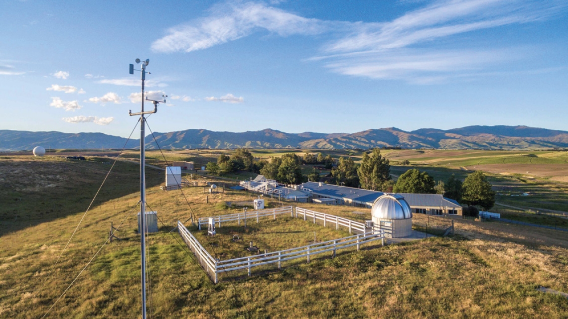
NIWA’s atmospheric observing site at Lauder is one of the two founding Total Column Carbon Observing Network sites, which are the international gold standard for validating greenhouse gas observing satellites, including MethaneSAT.
Atmospheric researchers have been laying the groundwork for the agricultural science project since 2021 – developing and testing models to help them make sense of the satellite data, preparing and testing instruments to validate the satellite’s information from the ground, and identifying the best places for the satellite to measure agricultural emissions around the world.
“This capability positions us beautifully to ground truth our results. And by proving this capability in New Zealand, we will demonstrate that measurements made at other locations around the world can be used with confidence,” says Mikaloff-Fletcher.
Ultimately, New Zealand’s methane emissions are already relatively well quantified, through ground-based measurements, land-use maps and modelling. But many countries with high agricultural methane emissions don’t have the same ground-based data available.
MethaneSAT’s agricultural programme will play a key role in shedding light on emissions from agriculture for countries all over the world, where very little data is available and uncertainty is high.
Making sense of the data
MethaneSAT team member and NIWA atmospheric modeller, Dr Beata Bukosa, is eagerly awaiting the satellite’s first data download.
Once initial calibration testing is completed, the sensor’s results go through a multi-step processing pipeline, beginning with the transmission of raw imaging satellite data to ground centres, followed by calibration, geolocation and mapping. The methane concentration data is then synced with meteorological data to quantify emission rates and to identify sources.
“The satellite shows us a snapshot from the top down of how methane is moving around the atmosphere and how much methane is being released from different regions – essentially maps of methane hotspots,” explains Bukosa.
“But if winds are high, all that methane blows away. So it’s really important to know what the wind conditions were when the data was collected, so that we don’t misattribute a source.
“For that we need atmospheric transfer models – or weather models which show us where the air came from, and subsequently point to the origin of the methane source. This requires big computational resources, which is where NIWA’s supercomputer comes into play.”
From early next year, it’s expected MethaneSAT agricultural data will be freely available, via Google Earth, to any researchers, non-profit organisations or academic institutions.
Reducing emissions
Reflecting on the project, Mikaloff-Fletcher jumps to the future, when it’s hoped global agricultural emissions will be well mapped and understood, with efforts to reduce and mitigate those emissions equally well established.
“One of the dreams of this project is being able to see how much methane emissions drop as a result of interventions we might do.
“It’s an incredibly important thing to be able to offer people when you’ve asked them to make changes – to be able to say how well that change is working.
“Methane emission reductions are the strongest lever we have to rapidly slow climate change.”
For now, Mikaloff-Fletcher’s immediate focus is squarely on progressing her methane work.
However, the atmospheric scientist is under no illusions that the long-term fight to turn around global warming revolves squarely around pulling back atmospheric CO2 concentrations.
“Methane has a shorter lifetime than carbon dioxide. And in that short lifetime, it can do a heck of a lot of damage.”
But she also notes that methane naturally disappears in little over a decade, while CO2 can hang around in the atmosphere for up to 1000 years.
It’s a sobering backdrop to the hope generated by her work on the MethaneSAT programme, and it prompts a very clear warning from Mikaloff-Fletcher.
“There’s no pathway to climate stabilisation that doesn’t involve reaching carbon zero.”
New Zealand’s first public space mission
MethaneSAT’s operations control centre is based in Auckland, and New Zealand researchers lead the international atmospheric research programme studying global emissions from agriculture.
Rocket Lab is transferring daily operational satellite control to the University of Auckland’s Te Pūnaha Ātea Space Institute, and NIWA’s Dr Sara Mikaloff-Fletcher heads a methane research team drawn from NIWA, GNS Science and Manaaki Whenua Landcare Research, along with scientists at Auckland, Waikato and Victoria universities.
The NZ-based team are also working closely with colleagues at Harvard University and the Smithsonian Astrophysical Observatory.
“This mission demonstrates the value New Zealand brings to international science collaborations and the real-world application of satellite remote sensing in supporting global efforts to combat climate change,”
Space Minister Judith Collins.

