NIWA researchers are heading out from Tasman early next week to survey an area thought to be home to important juvenile fish nurseries.
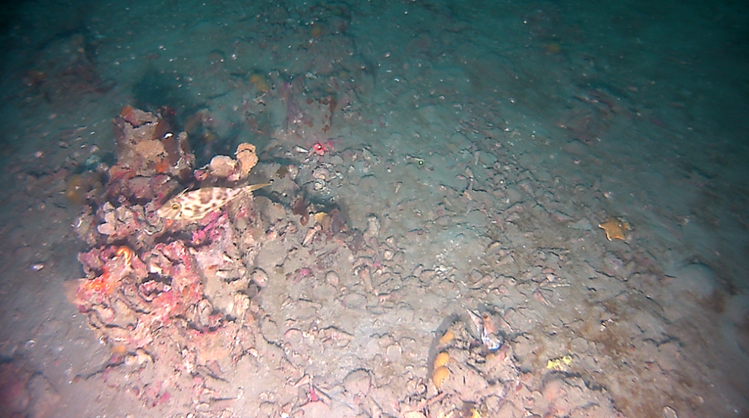
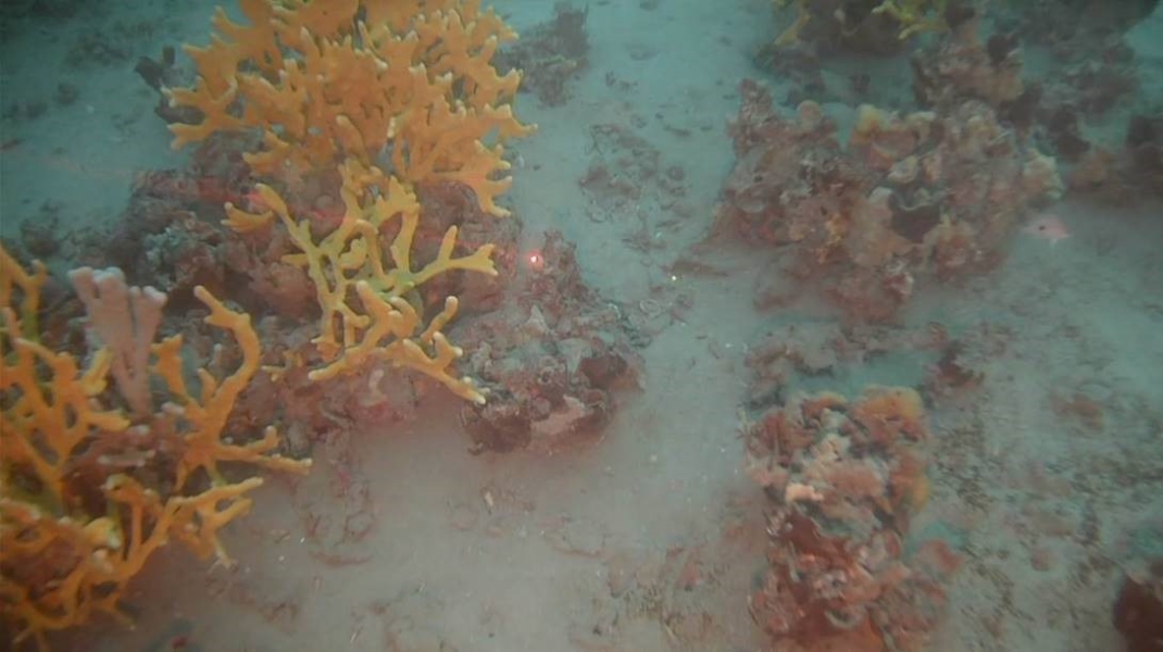
Separation Point, which marks the area between Golden Bay and Tasman Bay (and forms part of the Abel Tasman National Park), was closed for fishing in 1980 to protect extensive bryozoan fields found there, after other fields in the region had been destroyed.
The fields are thought to provide important nursery habitat for juveniles of a number of important inshore fisheries species including snapper, blue cod, tarakihi and red cod in a 140 km2 area.
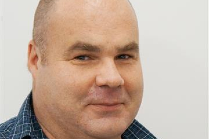
However, NIWA fisheries scientist Dr Mark Morrison says no research was undertaken at the time of the closure of Separation Point to determine if the fish nurseries were present, nor has there been any since.
“There is evidence that land-derived sedimentation is having a serious impact on the seafloor assemblages that the closure is meant to protect. This work will explicitly map the bryozoan beds, and combined with fish survey work early in 2021, determine their use as juvenile fish nurseries.”
The dominant bryozoan species forming the mounds is Celleporina agglutinans, which can form solid small chimney-like structures. In the early 2000s some limited camerawork showed the colonies to only still be alive on their tips, with the seafloor bases dead strongly suggesting land-based sedimentation as the cause of the problem.
Researchers will be on board NIWA’s research boat Ikatere and use a multibeam echo sounder which emits a fan of sound beams to the seafloor to scan a wide swath of the seabed in detail. The multibeam system calculates water depth from the time it takes the sound to travel to the seafloor and back to the vessel.
Dr Morrison says once the maps are completed, the researchers will return to the area early next year to take video footage using towed and baited cameras to assess the fish and habitats present.
The survey is set to take about 16 days with the Ikatere based out of the Tarakohe marina.
Dr Morrison leads a research programme funded by the Ministry of Business, Innovation and Employment to identify key habitat bottlenecks to coastal fisheries production.


