-
The New Zealand Estuary Trophic Index
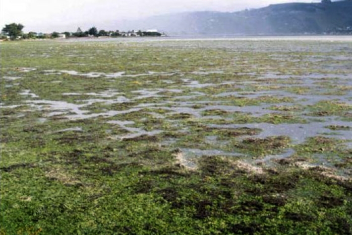
Research ProjectExcessive nutrient input (eutrophication) threatens many New Zealand estuaries causing ecological problems, such as algal blooms and poor physical and chemical conditions for estuarine life. -
The Stormy Seas project
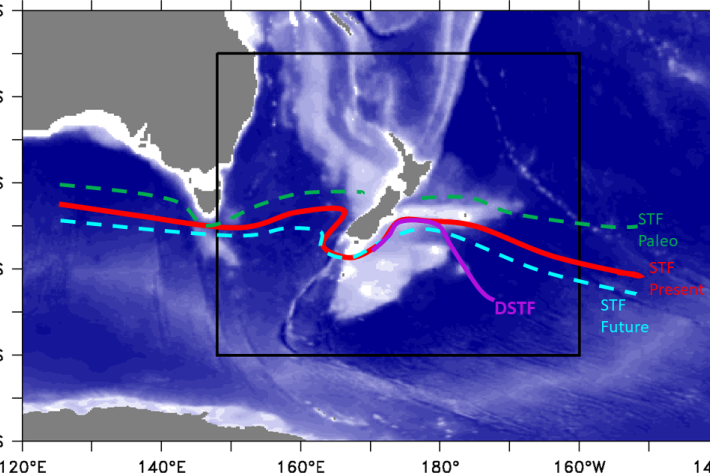
Research ProjectDoes climate change affect the position of the Subtropical Front around New Zealand? -
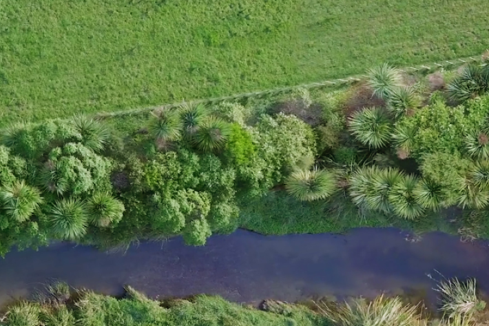
National riparian restoration database project
Research ProjectNIWA is undertaking a five-year nationwide study to find out how different approaches to riparian planting influence water quality improvements and to provide better guidance to the people and groups undertaking stream restoration. -
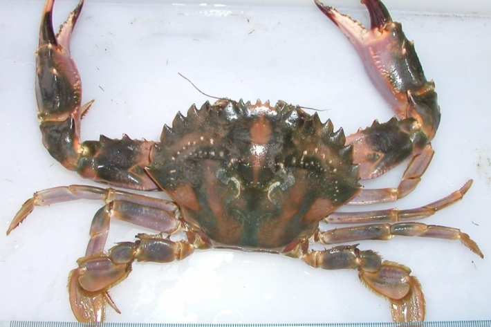
The impact of non-native marine pests on our takutai moana
Research ProjectThis project seeks to understand and better implement a Māori perspective within the current marine biosecurity system in New Zealand. -
Acoustic Monitoring of whales and dolphins in New Zealand’s Cook Strait region
Research ProjectThe sounds of whales and dolphins rarely seen in New Zealand waters have been recorded in a pioneering underwater sound project. -
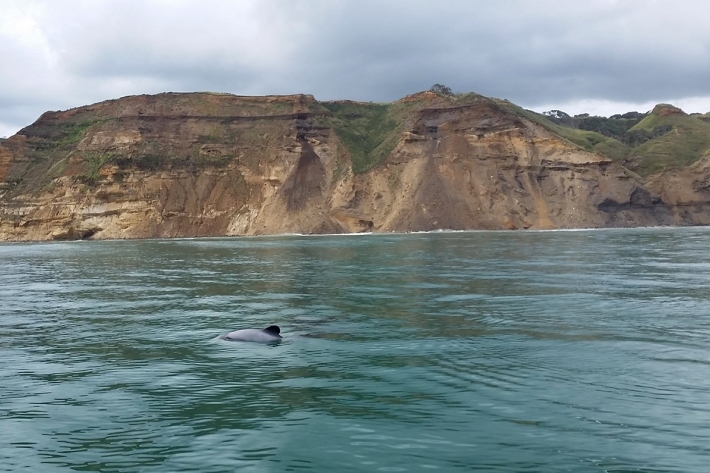
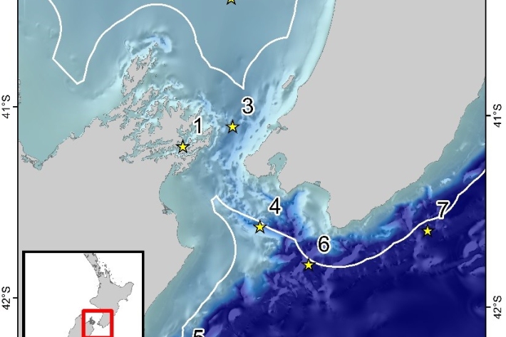
Acoustic monitoring of the critically endangered Māui dolphin
Research ProjectMāui dolphins, a subspecies of Hector’s dolphins, are listed as nationally critical in New Zealand with a population estimate between 57 and 75 dolphins over one year old. -
Biological traits, a new tool for estimating ecosystem health and vulnerability
Research ProjectBiological traits analysis is a valuable tool for measuring ecosystem function. -
Estimating design wind speeds in complex terrain
Research ProjectThe current method for calculating wind speed-up is inadequate, and can grossly under-predict correct design wind speeds in NZ's complex terrain. -
NZ temperature record
Research ProjectThere are many lines of evidence showing that NZ has warmed during the past century. -
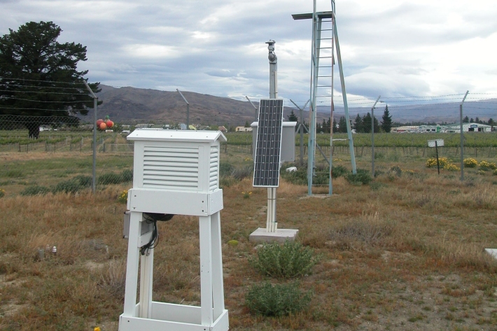
Freshwater monitoring and reporting
Research ProjectNIWA's research on freshwater monitoring and reporting is one of three research areas within the 'Values, Monitoring and Outcomes' (VMO) programme led by Landcare Research. -
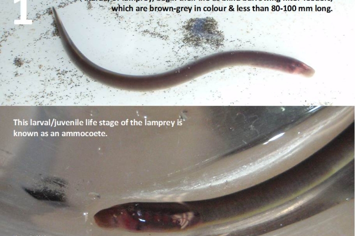
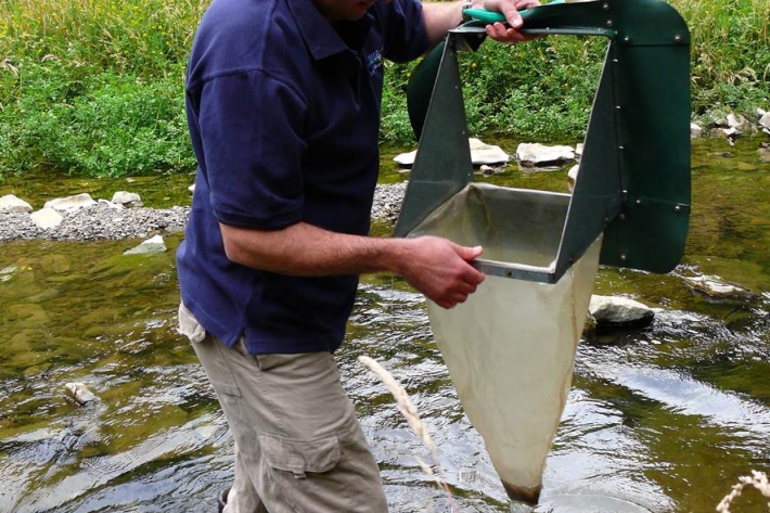
Restoration and enhancement of piharau / kanakana / lamprey
Research ProjectNIWA is leading a new six-year research project that seeks to increase our understanding of piharau/kanakana/lamprey, using Mātauranga Māori, social science and biophysical science approaches. -

Water Quality Monitoring Capabilities
Research ProjectNIWA provides national capabilities in Water Quality Monitoring.