The primary objective of the TAN2011 voyage was to re-map the Kaikōura Canyon and nearby targets using an Autonomous Underwater Vehicle (AUV Rán operated by the University of Gothenburg, Sweden). Additionally, the voyage provided the opportunity to progress ongoing studies into the ecological and sedimentological impact and recovery following the 2016 Kaikōura Earthquake.
RV Tangaroa voyage track map
Below is a map showing the course of RV Tangaroa taken during the TAN2011 voyage. Select anywhere on the red track to see position details, time and other vessel information. N.B. Dates and times are in UTC. New Zealand Standard Time (NZST) is 12 hours ahead of Coordinated Universal Time (UTC). Click on the ship icons for points of interest during the voyage.
Our overseas partners

2020 - Kaikōura canyons blog
-
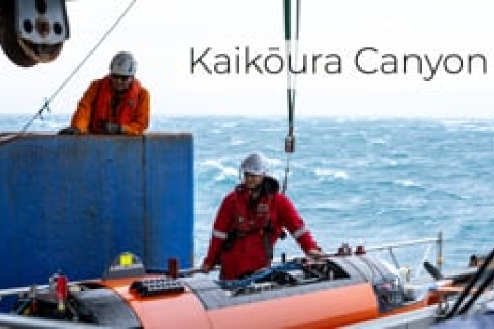
Kaikōura Canyon
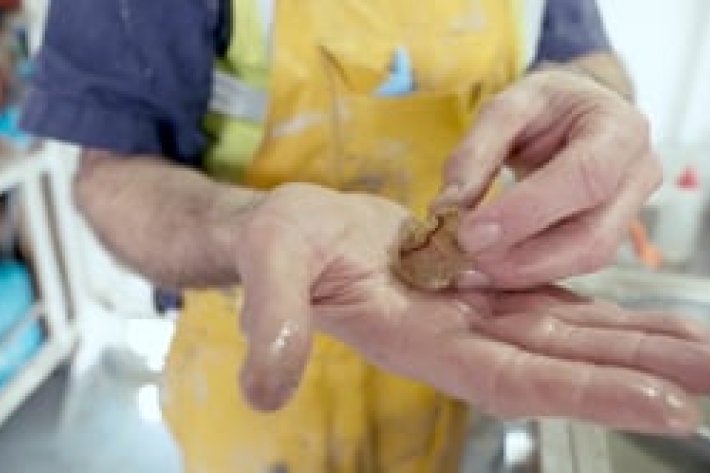
Our team of researchers have recently returned from a voyage onboard RV Tangaroa to retrieve moorings deployed to collect sediment samples from the Kaikōura Canyon. -
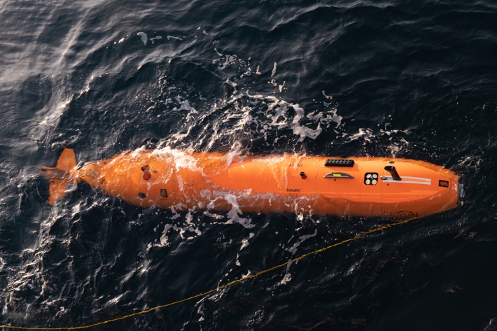
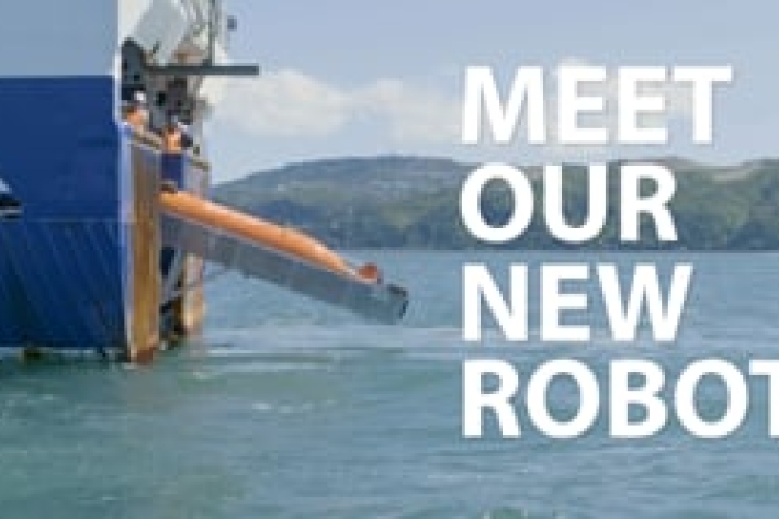
Underwater robot getting close-up look at Kaikōura Canyon
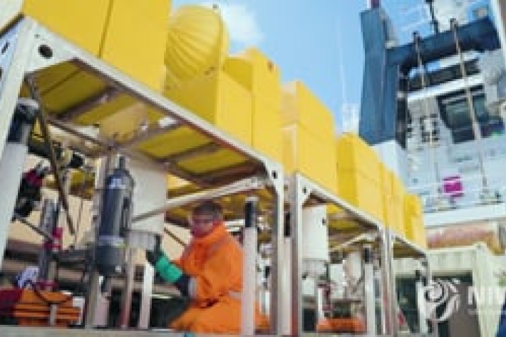
Media release08 October 2020A six-metre long orange underwater robot is flying through the Kaikōura Canyon for the next month collecting information on how the canyon has changed since the 2016 earthquake. -
NIWA science: important international collaborations
This campaign brings together two Eurofleets+ Infrastructures, the RV Tangaroa and the autonomous underwater vehicle (AUV) from Sweden’s University of Gothenburg (UGOT). -
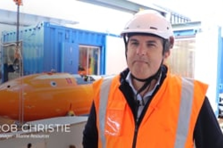
Rob Christie - Manager of Marine Resources
Eurofleets+ aims at providing, integrating and improving access to key research vessels and associated major equipment. -

Joshu Mountjoy - Voyage leader
Voyage update from Dr Joshu Mountjoy and Johan Rolandsson. -
Scott Nodder - Marine geologist
Scott Nodder is interested in the effects earthquakes have on marine sediments and animal communities. -
Ashley Rowden and Katie Bigham - Marine ecologists
Ashley Rowden and Katie Bigham talk about the positive changes observed on the seafloor following the 2016 Kaikōura earthquake.