Resources

Guides and other tools

NIWA makes many tools, resources and ID guides available.

  • Download Bathymetry Data

    Software Tool/Resource
    This dataset provides the most up-to-date bathymetry of one of the largest areas of deep-water seabed under national jurisdiction. The 250m resolution gridded bathymetric data set encompasses New Zealand's Exclusive Economic Zone and is available in multiple high-resolution file formats to suit a range of imagery and mapping needs.
  • Identification guides

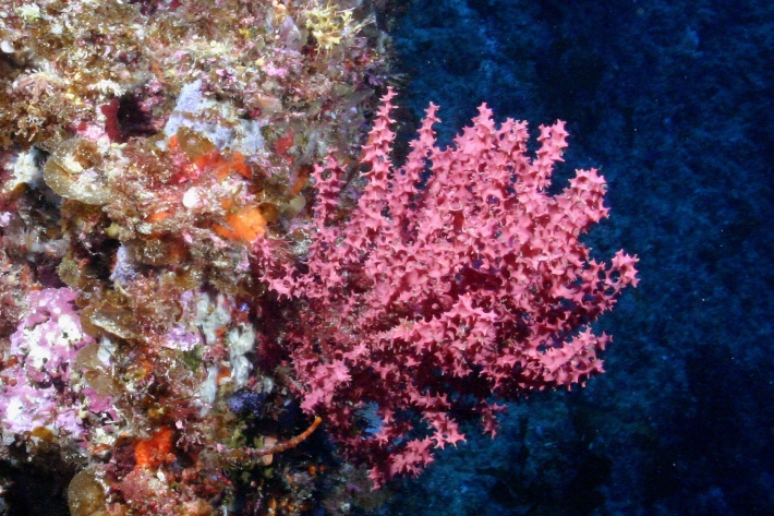
    Useful information and resources on New Zealand's marine flora and invertebrate fauna.
  • Southwestern Pacific Ocean Biogeographic Information System (OBIS) Node

    The Southwestern Pacific OBIS Node site is a gateway to marine biodiversity data from Antarctica to as far north as Fiji.