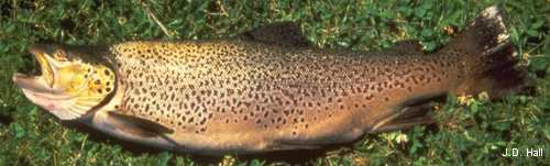
Community interest in maintaining healthy trout fisheries has underpinned a significant drive to protect water quality in New Zealand.
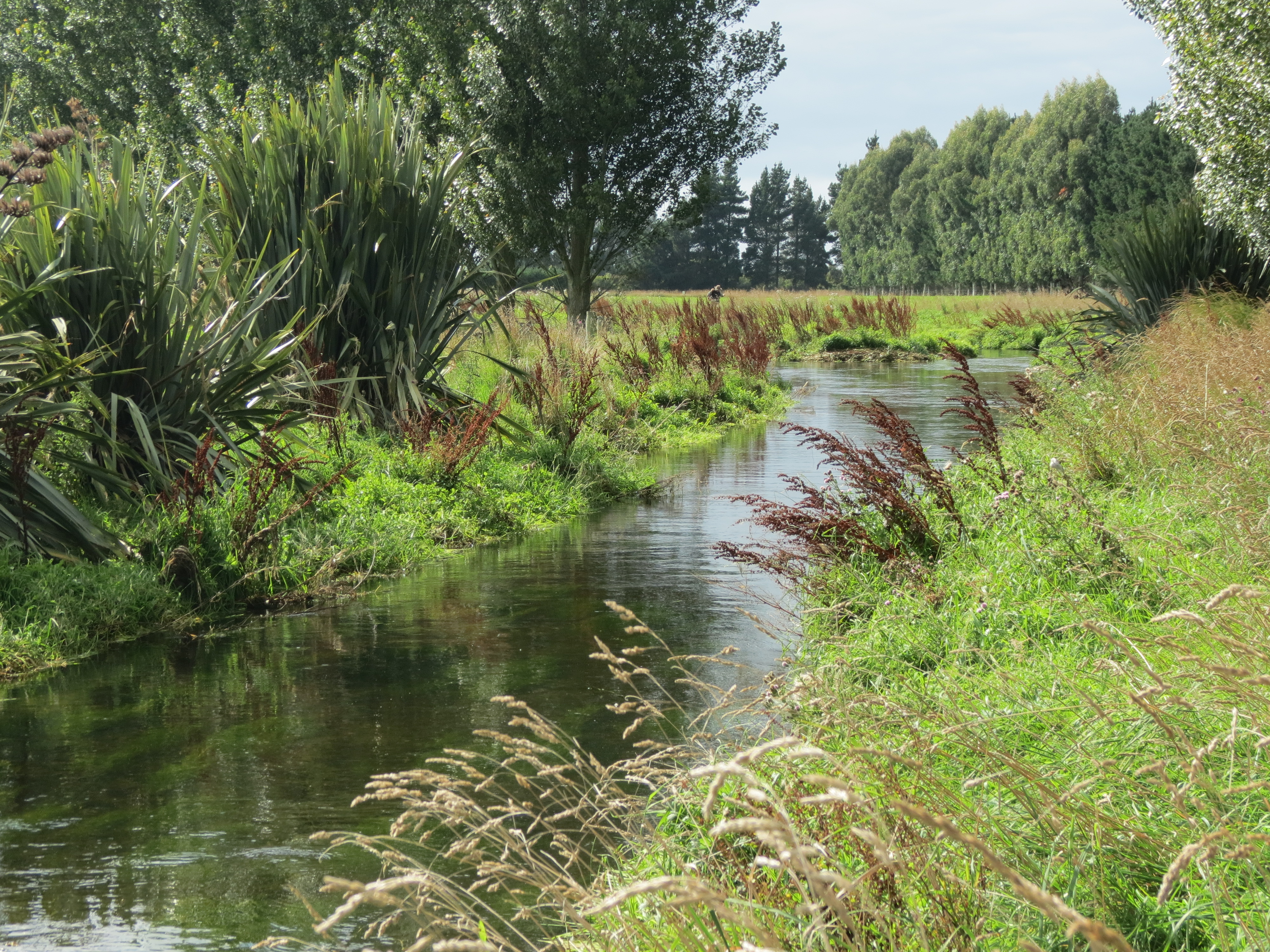
This assessment protocol was developed by our research partners the Cawthron Institute, to assess and inform stream habitat rehabilitation with respect to trout fishery values with scope to be used in the assessment of native fish values as well (eels in particular). The protocol contains rapid assessments pitched at multiple scales in an attempt to link catchment-scale influences with stream-segment and reach-scale features and processes. Aerial photographs are used as templates in the field to record the locations and extent of riparian vegetation, contaminant sources (fine-sediment and nutrients) and key trout-habitat features. Once collected this information can be consolidated using GIS software and used to inform and monitor stream protection or restoration projects.
An example application to a Best Practice Dairy Catchment demonstrates its usefulness when linked to a new Adult Trout Habitat Quality Index for assessing riparian condition in relation to in-stream trout habitat.