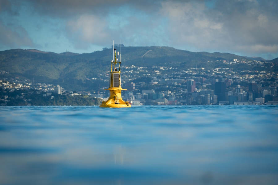
A buoy with the ability to “phone home” has been deployed in Wellington Harbour today to monitor currents, waves and water quality in the harbour.
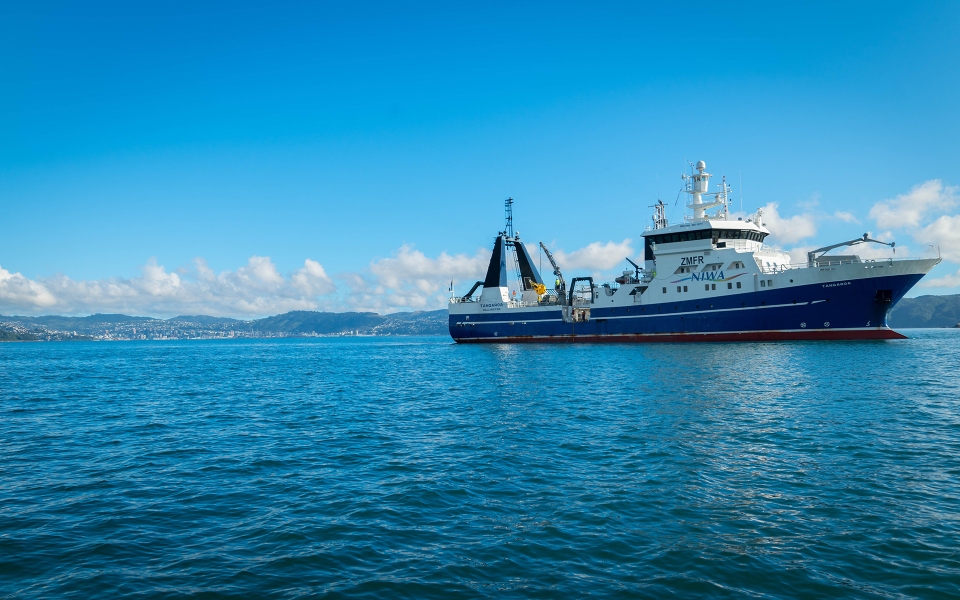
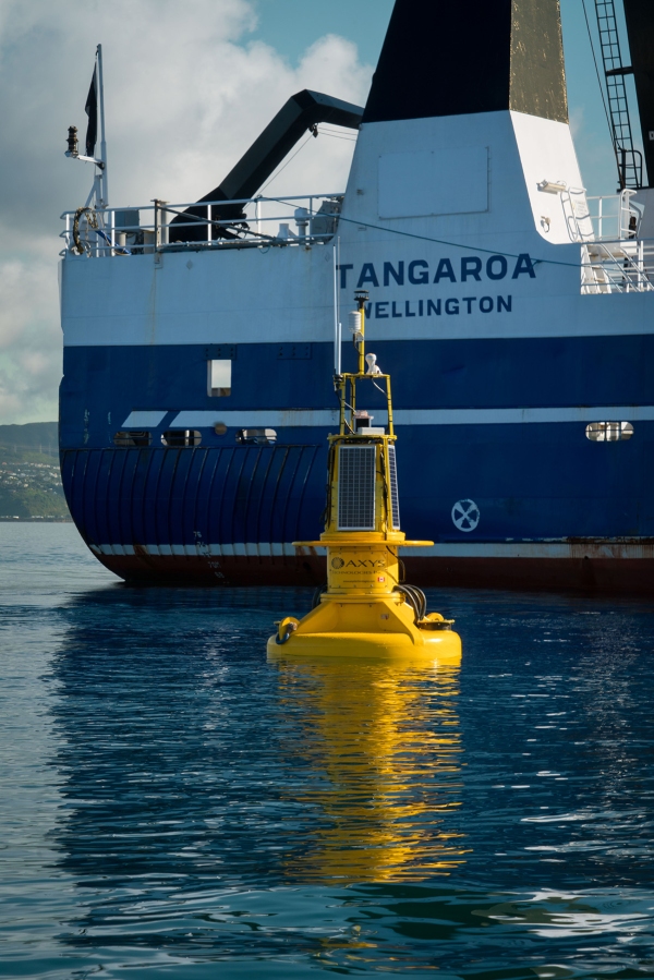
The buoy is part of a joint project between NIWA and Greater Wellington Regional Council (GWRC) around monitoring Wellington Harbour health. The buoy can deliver real time data of currents, waves, salinity, temperature, oxygen, chlorophyll, ocean acidification and wind. Named WRIBO (Wellington Region Integrated Buoy Observations), it was deployed from NIWA’s flagship research vessel Tangaroa this morning, south east of Matiu/Somes Island.
Real time data delivery
NIWA coastal physicist Dr Joanne O’Callaghan has been leading the project and says the buoy’s key advantage is the ability to deliver information immediately.
“The buoy makes a phone call to a computer and sends back data of up-to-date conditions in the Harbour. This means we don’t have to wait for good weather to collect the data which is never easy in Wellington.”
The buoy is three metres high and powered by solar panels. It has been constructed by NIWA’s mooring technician Mike Brewer over several weeks at Greta Point and is the most complicated of its kind in New Zealand waters.
One of its key roles will be to monitor plumes from the Hutt River that wash into the harbour following heavy rain. These plumes carry sediments and nutrients from the Hutt catchment to the Harbour.
“We have not sampled the Harbour routinely before and this will help us learn how much the river influences the harbour waters,” Dr O’Callaghan says.
Analysing water quality in plumes
A number of instruments will be attached to the buoy to enable scientists to analyse Harbour response at various depths. River plumes are only one to two metres thick so there is an instrument just under the surface to capture it. Waves and currents move sediments during storms so there is an instrument near the seabed and two more through the water to know the size of the impact.
“The plumes last for three to five days but the material is in the system for much longer.”
A trial buoy was deployed last September and found that surface salinity in the Harbour gets very fresh after large amounts of rain from events such as cyclones. Water quality instruments observed an algal bloom after ex-tropical cyclones Debbie and Cook.
GWRC coastal scientist Dr Claire Conwell says this is the beginning of a dedicated water quality monitoring programme for Wellington Harbour and the region’s coastal marine area.
“This information will help us to make links between the freshwater and marine environments, and to assess the impacts on water quality of land-based activities,” Dr Conwell says.
“A key focus for us is to also make the data accessible, so we’ll be working with the NIWA team after the buoy is deployed to get the data streaming via our respective websites. In the long run, we’d like to see this sit alongside other data from buoys across New Zealand, forming part of a national network.”
Contact
Dr Claire Conwell, Greater Wellington Coastal Scientist


