On 1 July 2025, NIWA merged with GNS Science to become Earth Sciences New Zealand.
Link to source page
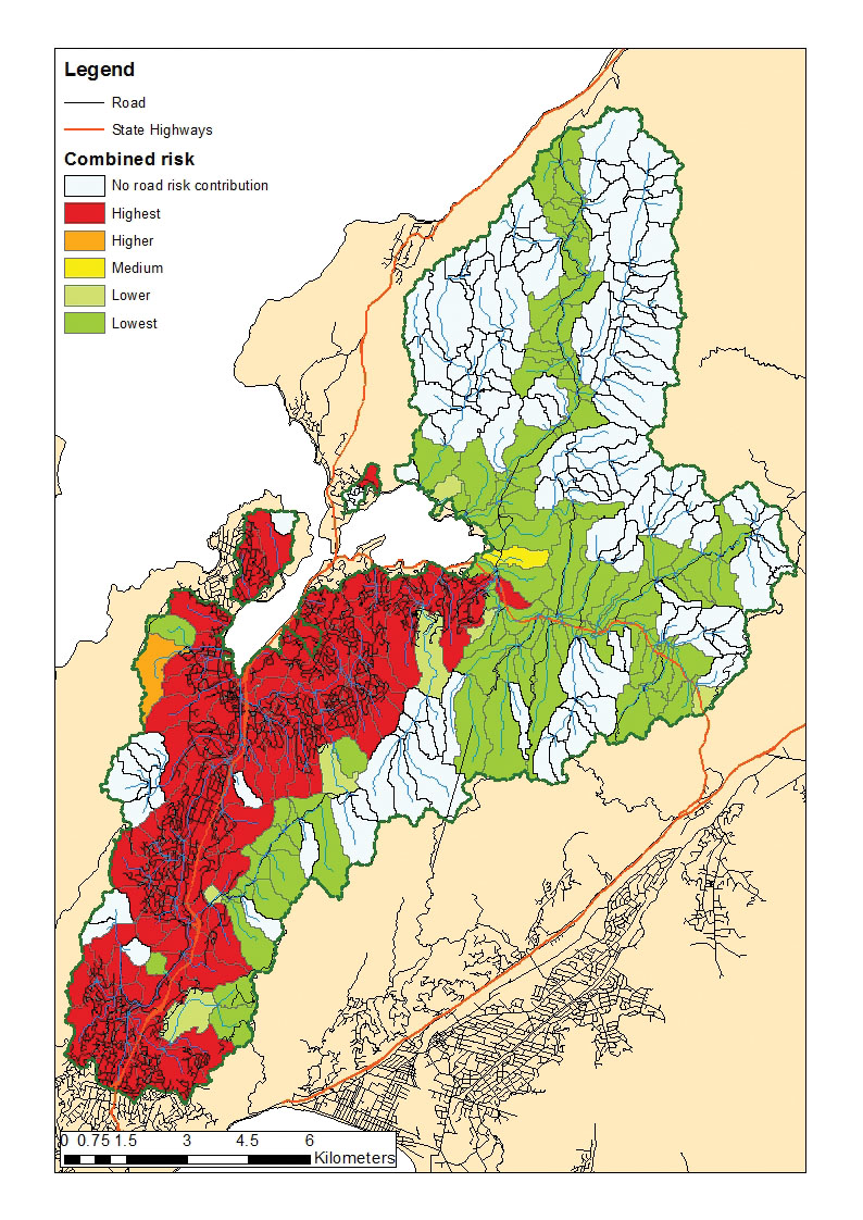
The study produced maps showing the combined risk posed to subcatchments in Porirua by runoff from roads and urban areas.