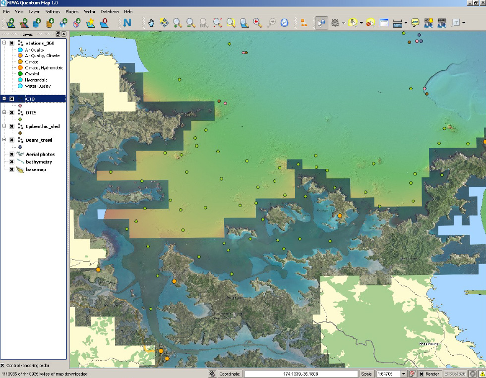
Sample map 1. Remote WMS and WFS data online from NIWA, showing a background of LINZ topographic data (coastline, roads, placenames, etc) overlaid with aerial photography, a bathymetry layer showing seabed depth (both WMS), sampling locations (WFS) as well as the locations of climate stations (WFS).