
-

Map N South
Education ResourceAs much of this climate zone is sheltered by high country to the west, south and in some areas to the east, it is the sunniest region of New Zealand. -

Lesson 2: Wind
Education ResourceSometimes wind can feel like a bit of a mystery because we can feel it, but not see it. -
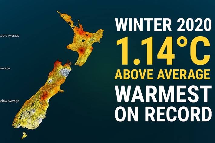
Winter 2020 – NZ’s warmest winter on record
Media release06 June 2017New Zealand has just experienced its warmest winter on record, according to official NIWA climate data. -
Climate mapping
Read about how NIWA can map any aspect of climate to help guide your organisation's response to a changing and variable climate. -
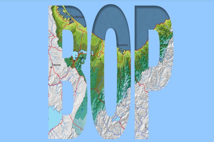
Bay of Plenty
The topography of the North Island has a profound effect on the weather of the Bay of Plenty region. -
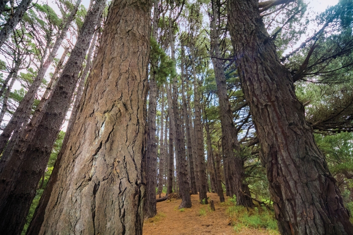
Native forests absorbing more carbon dioxide
Media release06 June 2017New Zealand’s forests and other land areas may be absorbing up to 60% more carbon dioxide than has been calculated, with much of this uptake likely occurring in native forests, NIWA scientists have discovered. -
Seasonal
Publication seriesSeasonal climate summaries from summer 2001 to the present. -
Mean daily minimum temperatures (°C)
These datasets are available in a range of formats. -
Map North
Education ResourceThis is a sub-tropical climate zone, with warm humid summers and mild winters. -
Map Scott
Education ResourceScott Base, Antarctica Antarctica is the coldest, windiest and driest continent. -
Other Climate data products
Short-term to long-term data estimation