
-
NIWA Blake Ambassadors Vlog 1: Sampling salps 24/7
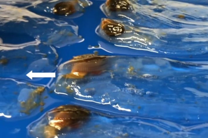
Sampling salps from different depths -
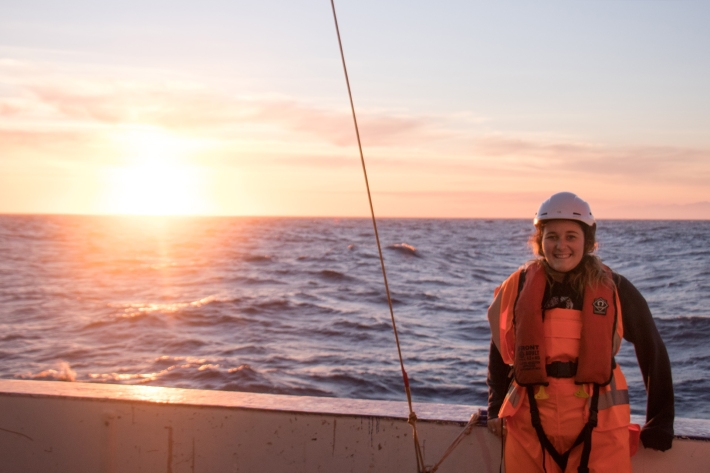
NIWA/Blake Ambassadors Blog 1
24 October 2018: NIWA Blake Ambassadors Lana Young and Siobhan O'Connor report back -
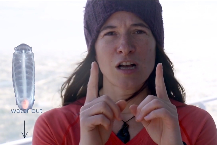
The Year of the Salps project
Students at Leigh School have been working with marine scientists and the 'Year of the Salps' project partners to learn how to count sea salps, understand salp life cycle phases and the importance of salps in marine ecosystems and their carbon-cycling effects on climate change. -
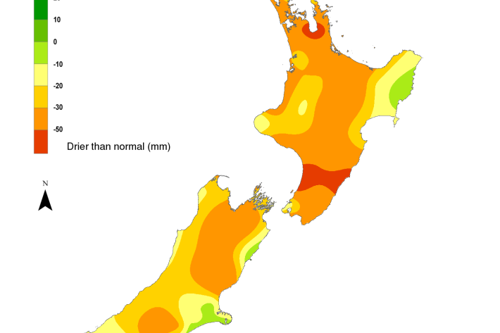
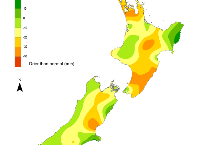
NIWA's Hotspot Watch for 24 October 2018
Hotspot24 October 2018Soils are drier than normal for the time of year in the majority of the North Island, excluding the eastern Gisborne region where the soil moisture is near average. Parts of Queenstown-Lakes District in Otago, the Grey and Buller Districts in the West Coast, northeastern Marlborough, and the Waimate District in southern Canterbury experience well below average rainfall for this time of year, while the rest of the South Island had near normal rainfall. -
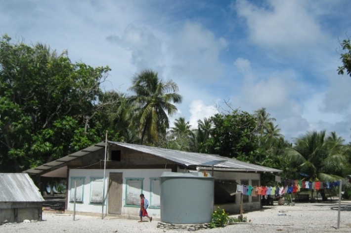
Marshallese benefit from new RiskScape drought tool
Feature story17 October 2018Inhabitants of the Marshall Islands may not be able to avoid drought, but thanks to a new tool co-developed by NIWA they can now plan ahead to better manage water resources when the big dry looms. -
NIWA's Hotspot Watch for 17 October 2018
Hotspot17 October 2018There are no currently no hotspots, but an area to monitor is in the southern Hurunui District in northern Canterbury. -
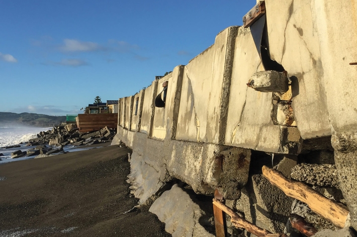
A say on the sea shore
Feature story16 October 2018Coastal communities around New Zealand are getting a say on how to respond to sea-level rise, and NIWA is helping them. -
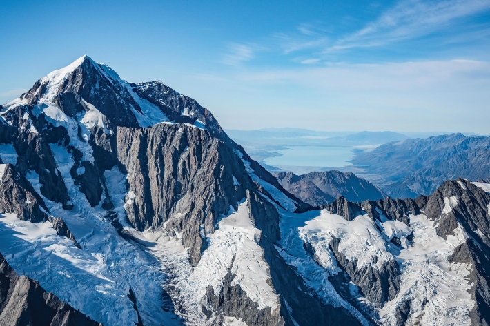
NIWA 2018 glacier survey
Feature story16 October 2018What happens when the contribution from seasonal snow and ice melt changes in a warmer world? -
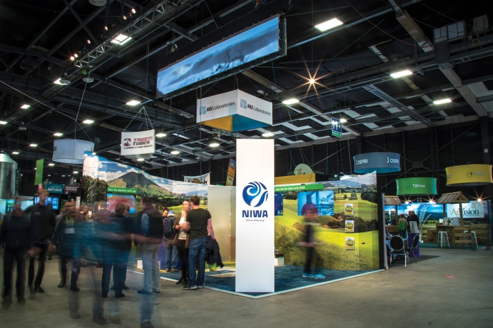
Fieldays - farming for the future
Feature story10 October 2018Farmers visiting Fieldays at Mystery Creek in June could not have missed the take-home message: that science and innovation are key to their continued success. -
Te Huringa ki te Rangi – He Rautaki Tāwariwari
Te Huringa ki te Rangi is a decision-making model to support indigenous and coastal communities. -

Sudden spring sun for south
Media release12 September 2018A cool start to spring is about to be replaced by a sudden burst of warmth, according to NIWA meteorologist Ben Noll. -

Councils get help to prepare for sea-level rise
Media release18 July 2018A senior NIWA scientist is concerned many councils are having difficulty “getting off the starting blocks” when it comes to planning for coastal climate change.